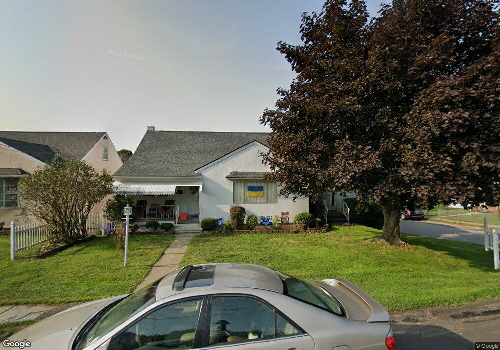
1389 Watson St Scranton, PA 18504
Hyde Park NeighborhoodEstimated Value: $121,588 - $294,000
--
Bed
--
Bath
--
Sq Ft
8,668
Sq Ft Lot
About This Home
This home is located at 1389 Watson St, Scranton, PA 18504 and is currently estimated at $224,897. 1389 Watson St is a home located in Lackawanna County with nearby schools including Longan Elementary School, Adams Elementary School, and Frances Willard School.
Ownership History
Date
Name
Owned For
Owner Type
Purchase Details
Closed on
Sep 6, 2016
Sold by
Aniska Mary Catherine and Aniska Ronald
Bought by
Mchale Timothy H and Mchale Stacey
Current Estimated Value
Create a Home Valuation Report for This Property
The Home Valuation Report is an in-depth analysis detailing your home's value as well as a comparison with similar homes in the area
Home Values in the Area
Average Home Value in this Area
Purchase History
| Date | Buyer | Sale Price | Title Company |
|---|---|---|---|
| Mchale Timothy H | -- | None Available |
Source: Public Records
Tax History Compared to Growth
Tax History
| Year | Tax Paid | Tax Assessment Tax Assessment Total Assessment is a certain percentage of the fair market value that is determined by local assessors to be the total taxable value of land and additions on the property. | Land | Improvement |
|---|---|---|---|---|
| 2025 | $4,159 | $13,000 | $1,950 | $11,050 |
| 2024 | $3,799 | $13,000 | $1,950 | $11,050 |
| 2023 | $3,799 | $13,000 | $1,950 | $11,050 |
| 2022 | $3,716 | $13,000 | $1,950 | $11,050 |
| 2021 | $3,716 | $13,000 | $1,950 | $11,050 |
| 2020 | $3,646 | $13,000 | $1,950 | $11,050 |
| 2019 | $3,429 | $13,000 | $1,950 | $11,050 |
| 2018 | $3,429 | $13,000 | $1,950 | $11,050 |
| 2017 | $3,368 | $13,000 | $1,950 | $11,050 |
| 2016 | $1,012 | $13,000 | $1,950 | $11,050 |
| 2015 | $2,523 | $13,000 | $1,950 | $11,050 |
| 2014 | -- | $13,000 | $1,950 | $11,050 |
Source: Public Records
Map
Nearby Homes
- 1411 Watson St
- 1335 Sloan St
- 1404 Amherst St
- 1301 Sloan St
- 1227 Rundle St
- LOT#16 Reynolds Ave
- Lot# 7 Reynolds Ave
- 1234 Bryn Mawr St Unit 11
- 1115 Watson St
- 1143 Reynolds Ave
- 816 12th Ave
- 1215 Eynon St
- 1223 Eynon St
- 924 S Main Ave
- 1150 W Elm St
- 1227-1229 Hampton St
- 706 Parrott Ave
- 1157-59 Hampton St
- 1203 Acker Ave
- 610 Landis St
- 1387 Watson St
- 1383 Watson St
- 1501 Parrott Ave Unit 1503
- 1503 Parrott Ave
- 1398 Rundle St
- 1381 Watson St
- 1396 Rundle St
- 1409 Watson St
- 1404 Rundle St
- 1394 Watson St
- 1392 Watson St
- 1394 Rundle St
- 1388 Watson St Unit 1390
- 1384 Watson St Unit 86
- 1402 Watson St
- 1404 Watson St
- 1354 Rundle St
- 1380 Watson St Unit 82
- 1410 Rundle St
- 1517 Watson St