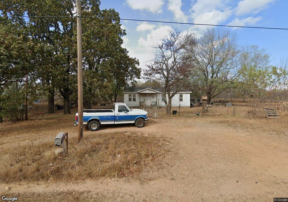
13896 Highway 82c Hulbert, OK 74441
Estimated Value: $116,000 - $287,000
3
Beds
1
Bath
1,040
Sq Ft
$165/Sq Ft
Est. Value
About This Home
This home is located at 13896 Highway 82c, Hulbert, OK 74441 and is currently estimated at $171,145, approximately $164 per square foot. 13896 Highway 82c is a home located in Cherokee County with nearby schools including Peggs Public School.
Ownership History
Date
Name
Owned For
Owner Type
Purchase Details
Closed on
Nov 10, 2015
Sold by
Fisher Walter Ray Dean and Fisher Dulcibelle
Bought by
Fisher Michael and Fisher Elizabeth
Current Estimated Value
Home Financials for this Owner
Home Financials are based on the most recent Mortgage that was taken out on this home.
Original Mortgage
$86,972
Outstanding Balance
$52,199
Interest Rate
3.9%
Mortgage Type
Future Advance Clause Open End Mortgage
Estimated Equity
$118,946
Purchase Details
Closed on
Sep 20, 2004
Sold by
Wallace J Fisher
Bought by
Minnie Fisher
Create a Home Valuation Report for This Property
The Home Valuation Report is an in-depth analysis detailing your home's value as well as a comparison with similar homes in the area
Purchase History
| Date | Buyer | Sale Price | Title Company |
|---|---|---|---|
| Fisher Michael | $60,000 | None Available | |
| Minnie Fisher | -- | -- | |
| Walter Fisher | -- | -- |
Source: Public Records
Mortgage History
| Date | Status | Borrower | Loan Amount |
|---|---|---|---|
| Open | Fisher Michael | $86,972 |
Source: Public Records
Tax History Compared to Growth
Tax History
| Year | Tax Paid | Tax Assessment Tax Assessment Total Assessment is a certain percentage of the fair market value that is determined by local assessors to be the total taxable value of land and additions on the property. | Land | Improvement |
|---|---|---|---|---|
| 2025 | $270 | $3,776 | $643 | $3,133 |
| 2024 | $262 | $3,666 | $643 | $3,023 |
| 2023 | $262 | $3,559 | $733 | $2,826 |
| 2022 | $197 | $2,755 | $148 | $2,607 |
| 2021 | $187 | $2,623 | $140 | $2,483 |
| 2020 | $178 | $2,499 | $134 | $2,365 |
| 2019 | $170 | $2,379 | $127 | $2,252 |
| 2018 | $162 | $2,266 | $121 | $2,145 |
| 2017 | $154 | $2,158 | $150 | $2,008 |
| 2016 | $147 | $2,055 | $143 | $1,912 |
| 2015 | $136 | $1,958 | $110 | $1,848 |
| 2014 | $132 | $1,901 | $421 | $1,480 |
Source: Public Records
Map
Nearby Homes
- 8030 N Shiloh Rd
- 14000 Highway 82c
- 14311 E 668 Rd
- 7373 N 485 Rd
- 6947 N 460 Rd
- 11838 E 650 Rd
- 16246 E 647 Rd
- 8683 N 436 Rd
- 12990 W Killabrew Rd
- 11388 Hwy 82
- 12112 W 690 Rd
- 0 E 630 Rd Unit 2551216
- 0 N 510 Rd Unit 2543283
- 0 N 510 Rd Unit 2543284
- 0 N 510 Rd Unit 2543190
- 0 N 510 Rd Unit 2547590
- 0 N 510 Rd Unit 2543294
- 0 N 510 Rd Unit 2543293
- 0 N 510 Rd Unit 2546232
- 0 N 510 Rd Unit 2543297
- 52744 Highway 82c
- 11728 Highway 82c
- 12263 Highway 82c
- 15555 Highway 82c
- 13806 Highway 82c
- 7968 N Shiloh Rd
- 7922 N Shiloh Rd
- 8029 N Shiloh Rd
- 7864 N Shiloh Rd
- 14064 Highway 82c
- 14064 Hwy 82 C
- 7749 N Shiloh Rd
- 13752 Highway 82c
- 13631 Highway 82c
- 13656 Highway 82c
- 8239 N Shiloh Rd
- 8268 N Shiloh Rd
- 8315 N Shiloh Rd
- 8427 N Shiloh Rd
- 14243 Highway 82c