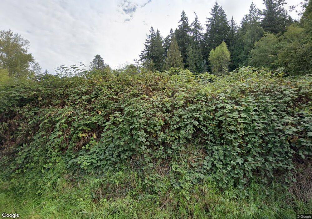
13897 State Route 9 Mount Vernon, WA 98273
Estimated Value: $382,000 - $632,000
5
Beds
1
Bath
2,128
Sq Ft
$260/Sq Ft
Est. Value
About This Home
This home is located at 13897 State Route 9, Mount Vernon, WA 98273 and is currently estimated at $553,853, approximately $260 per square foot. 13897 State Route 9 is a home located in Skagit County with nearby schools including Sedro-Woolley Senior High School, Summersun Montessori School, and Viewcrest Christian School.
Ownership History
Date
Name
Owned For
Owner Type
Purchase Details
Closed on
May 22, 2014
Sold by
Neill Earl L O
Bought by
Neill Steven O and Neill Mary O
Current Estimated Value
Home Financials for this Owner
Home Financials are based on the most recent Mortgage that was taken out on this home.
Original Mortgage
$164,000
Outstanding Balance
$120,993
Interest Rate
3.5%
Mortgage Type
Adjustable Rate Mortgage/ARM
Estimated Equity
$432,860
Purchase Details
Closed on
Apr 15, 2014
Sold by
Neill Earl L O and Neill Danny D O
Bought by
Neill Earl L O
Home Financials for this Owner
Home Financials are based on the most recent Mortgage that was taken out on this home.
Original Mortgage
$164,000
Outstanding Balance
$120,993
Interest Rate
3.5%
Mortgage Type
Adjustable Rate Mortgage/ARM
Estimated Equity
$432,860
Create a Home Valuation Report for This Property
The Home Valuation Report is an in-depth analysis detailing your home's value as well as a comparison with similar homes in the area
Home Values in the Area
Average Home Value in this Area
Purchase History
| Date | Buyer | Sale Price | Title Company |
|---|---|---|---|
| Neill Steven O | $124,280 | Guardian Northwest Title | |
| Neill Earl L O | -- | Land Title Company |
Source: Public Records
Mortgage History
| Date | Status | Borrower | Loan Amount |
|---|---|---|---|
| Open | Neill Steven O | $164,000 |
Source: Public Records
Tax History Compared to Growth
Tax History
| Year | Tax Paid | Tax Assessment Tax Assessment Total Assessment is a certain percentage of the fair market value that is determined by local assessors to be the total taxable value of land and additions on the property. | Land | Improvement |
|---|---|---|---|---|
| 2024 | $4,199 | $474,900 | $309,800 | $165,100 |
| 2023 | $4,199 | $463,300 | $284,800 | $178,500 |
| 2022 | $3,754 | $431,800 | $265,900 | $165,900 |
| 2021 | $3,614 | $343,500 | $195,500 | $148,000 |
| 2020 | $3,088 | $310,800 | $0 | $0 |
| 2019 | $3,030 | $271,800 | $0 | $0 |
| 2018 | $3,405 | $302,600 | $0 | $0 |
| 2017 | $3,187 | $263,300 | $0 | $0 |
| 2016 | $2,998 | $248,200 | $136,300 | $111,900 |
| 2015 | $2,901 | $223,000 | $115,400 | $107,600 |
| 2013 | $2,107 | $163,200 | $0 | $0 |
Source: Public Records
Map
Nearby Homes
- 13633 State Route 9
- 22965 Buchanan St
- 5609 Timber Ridge Dr
- 23319 Pringle St
- 12951 S Front St
- 12949 S Front St
- 4155 Autumn Way
- 22979 Methow Ct
- 5377 Timber Ridge Dr
- 341 N 55th St
- 341 N 55th St Unit 30
- 333 N 55th St
- 4208 Seneca Dr
- 4312 Kiowa Dr
- 15408 State Route 9
- 301 N 55th St Unit 25
- 2210 Martin Rd
- 237 N 55th St
- 237 N 55th St Unit 23
- 229 N 55th St
- 13971 State Route 9
- 13813 State Route 9
- 13987 State Route 9
- 13809 State Route 9
- 13811 Washington 9
- 13771 State Route 9
- 14051 State Route 9
- 14175 Glory To Glory Ln
- 13651 State Route 9
- 22586 Babcock Rd
- 22681 Babcock Rd
- 22827 Babcock Rd
- 14199 Glory To Glory Ln
- 0 Baker Heights Rd Unit Lt 14 28156277
- 0 Baker Heights Rd Unit Lt 13 28156276
- 0 Baker Heights Rd Unit Lt 11 28156274
- 0 Baker Heights Rd Unit Lt 12 28156275
- 0 Baker Heights Rd Unit Lt 10 28156272
- 0 Baker Heights Rd Unit Lot 9 28156271
- 0 Baker Heights Rd Unit Lot 7
