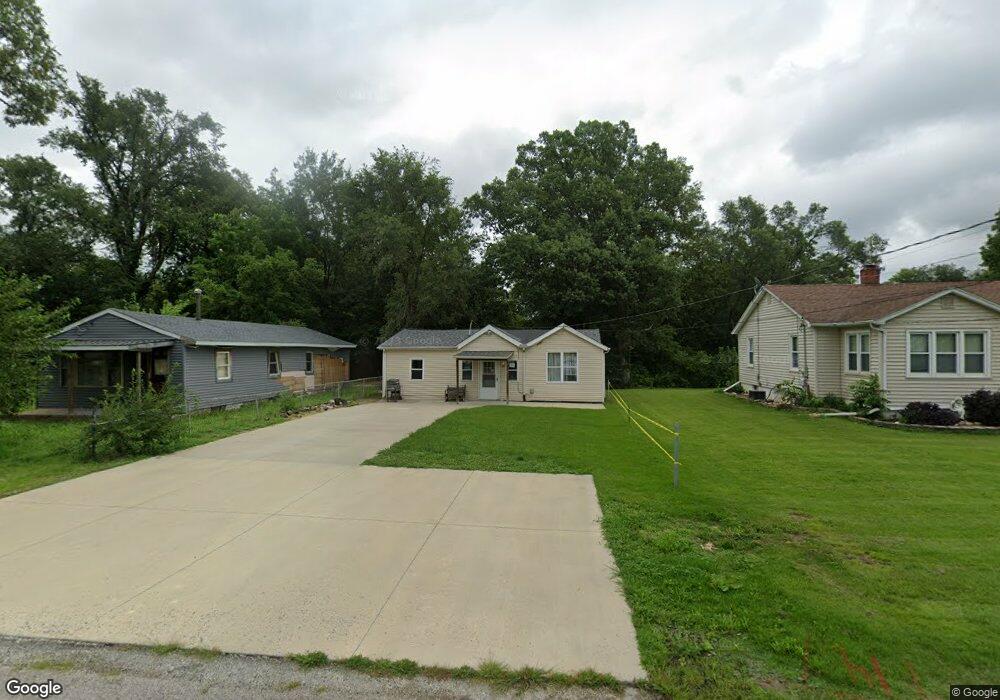
139 1/2 Brow Dr East Peoria, IL 61611
Estimated Value: $102,000 - $154,000
4
Beds
2
Baths
1,500
Sq Ft
$79/Sq Ft
Est. Value
About This Home
This home is located at 139 1/2 Brow Dr, East Peoria, IL 61611 and is currently estimated at $117,885, approximately $78 per square foot. 139 1/2 Brow Dr is a home located in Tazewell County with nearby schools including Woodrow Wilson Elementary School, Glendale Elementary School, and Central Junior High School.
Ownership History
Date
Name
Owned For
Owner Type
Purchase Details
Closed on
Apr 30, 2010
Sold by
Vanwinkle Shane M
Bought by
Dougherty Jeanette E
Current Estimated Value
Home Financials for this Owner
Home Financials are based on the most recent Mortgage that was taken out on this home.
Original Mortgage
$68,732
Outstanding Balance
$47,072
Interest Rate
5.5%
Mortgage Type
FHA
Estimated Equity
$70,813
Create a Home Valuation Report for This Property
The Home Valuation Report is an in-depth analysis detailing your home's value as well as a comparison with similar homes in the area
Home Values in the Area
Average Home Value in this Area
Purchase History
| Date | Buyer | Sale Price | Title Company |
|---|---|---|---|
| Dougherty Jeanette E | $70,000 | Pekin Title Llc |
Source: Public Records
Mortgage History
| Date | Status | Borrower | Loan Amount |
|---|---|---|---|
| Open | Dougherty Jeanette E | $68,732 |
Source: Public Records
Tax History Compared to Growth
Tax History
| Year | Tax Paid | Tax Assessment Tax Assessment Total Assessment is a certain percentage of the fair market value that is determined by local assessors to be the total taxable value of land and additions on the property. | Land | Improvement |
|---|---|---|---|---|
| 2024 | $699 | $14,360 | $2,690 | $11,670 |
| 2023 | $699 | $13,220 | $2,480 | $10,740 |
| 2022 | $625 | $12,280 | $2,300 | $9,980 |
| 2021 | $577 | $11,810 | $2,210 | $9,600 |
| 2020 | $531 | $11,470 | $2,150 | $9,320 |
| 2019 | $528 | $11,470 | $2,150 | $9,320 |
| 2018 | $513 | $11,470 | $2,150 | $9,320 |
| 2017 | $509 | $11,360 | $2,130 | $9,230 |
| 2016 | $492 | $11,360 | $2,130 | $9,230 |
| 2015 | $483 | $0 | $0 | $0 |
| 2013 | $486 | $11,360 | $2,130 | $9,230 |
Source: Public Records
Map
Nearby Homes
- 717 Bloomington Rd
- 615 Meadow Ave
- 1513 Bloomington Rd
- 223 Kerfoot St
- Lot 7 Sundance Ln
- 123 Terrace Ln
- 208 Montrose Ave
- 322 Schulzki Ln
- 950 N Main St
- 1004 Springfield Rd
- 700 N Main St
- 1203 Springfield Rd
- 114 Raynor St
- 210 Stewart St
- 125 Canterbury Ct
- 117 Greenlawn Ct
- 0000 Highway 24
- 104 N Inglewood Dr
- 1406 Springfield Rd
- 331 Oakwood Ave