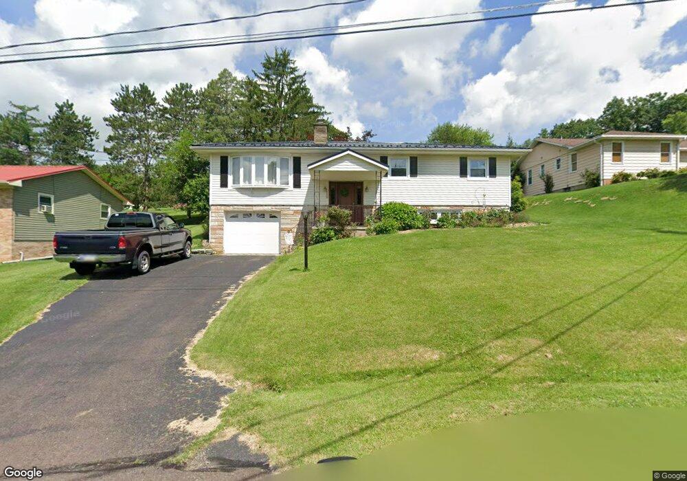
139 Apple Ave Bloomsburg, PA 17815
Estimated Value: $261,272 - $368,000
--
Bed
--
Bath
2,296
Sq Ft
$133/Sq Ft
Est. Value
About This Home
This home is located at 139 Apple Ave, Bloomsburg, PA 17815 and is currently estimated at $304,568, approximately $132 per square foot. 139 Apple Ave is a home located in Columbia County with nearby schools including W.W. Evans Memorial Elementary School, Bloomsburg Area Middle School, and Bloomsburg Area High School.
Ownership History
Date
Name
Owned For
Owner Type
Purchase Details
Closed on
Aug 27, 2012
Sold by
Young David E and Young April C
Bought by
Baker Justin C and Welshans Miranda B
Current Estimated Value
Home Financials for this Owner
Home Financials are based on the most recent Mortgage that was taken out on this home.
Original Mortgage
$144,000
Outstanding Balance
$99,830
Interest Rate
3.61%
Mortgage Type
New Conventional
Estimated Equity
$204,738
Create a Home Valuation Report for This Property
The Home Valuation Report is an in-depth analysis detailing your home's value as well as a comparison with similar homes in the area
Home Values in the Area
Average Home Value in this Area
Purchase History
| Date | Buyer | Sale Price | Title Company |
|---|---|---|---|
| Baker Justin C | $164,000 | None Available |
Source: Public Records
Mortgage History
| Date | Status | Borrower | Loan Amount |
|---|---|---|---|
| Open | Baker Justin C | $144,000 |
Source: Public Records
Tax History Compared to Growth
Tax History
| Year | Tax Paid | Tax Assessment Tax Assessment Total Assessment is a certain percentage of the fair market value that is determined by local assessors to be the total taxable value of land and additions on the property. | Land | Improvement |
|---|---|---|---|---|
| 2025 | $3,133 | $37,717 | $0 | $0 |
| 2024 | $3,076 | $37,717 | $2,500 | $35,217 |
| 2023 | $2,794 | $37,717 | $2,500 | $35,217 |
| 2022 | $2,719 | $37,717 | $2,500 | $35,217 |
| 2021 | $2,633 | $37,717 | $2,500 | $35,217 |
| 2020 | $2,605 | $37,717 | $2,500 | $35,217 |
| 2019 | $2,548 | $37,717 | $2,500 | $35,217 |
| 2018 | $2,500 | $37,717 | $2,500 | $35,217 |
| 2017 | $2,417 | $37,717 | $2,500 | $35,217 |
| 2016 | -- | $37,717 | $2,500 | $35,217 |
| 2015 | -- | $37,717 | $2,500 | $35,217 |
| 2014 | -- | $37,717 | $2,500 | $35,217 |
Source: Public Records
Map
Nearby Homes
- 402 Millville Rd
- 123 William St
- 115 West St
- 179181 Railroad St
- 24 Millville Rd
- 421 W Main St
- 479 Drinker St
- LOT 1 Kressler Ave
- 527 Clover Ave
- 518 W Main St
- 405 W 3rd St
- 261 West St
- 225 W 3rd St
- 579 W 3rd St
- Sweet Birch Plan at Oak Lane
- Black Cherry Plan at Oak Lane
- Blue Ridge Plan at Oak Lane
- Beacon Pointe Plan at Oak Lane
- White Oak Plan at Oak Lane
- 606 W 3rd St
- 149 Apple Ave
- 138 Apple Ave
- 128 Apple Ave
- 129 Apple Ave
- 118 Apple Ave
- 110 Sunnyside Ave
- 147 Spring Garden Ave
- 400 Ferncliff Rd
- 127 Springarden Ave
- 147 Springarden Ave
- 107 Springarden Ave
- 490 Ferncliff Rd
- 167 Springarden Ave
- 131 Sunnyside Ave
- 151 Sunnyside Ave
- 171 Sunnyside Ave
- 187 Spring Garden Ave
- 191 Sunnyside Ave
- 0 Spring Garden Ave
- 187 Springarden Ave