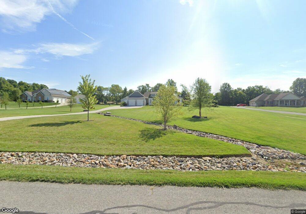
139 Auld Ridge Way Unit Lot 21 Hebron, OH 43025
Union NeighborhoodEstimated Value: $824,000 - $929,000
5
Beds
3
Baths
2,175
Sq Ft
$400/Sq Ft
Est. Value
About This Home
This home is located at 139 Auld Ridge Way Unit Lot 21, Hebron, OH 43025 and is currently estimated at $869,690, approximately $399 per square foot. 139 Auld Ridge Way Unit Lot 21 is a home located in Licking County with nearby schools including Jackson Intermediate School, Lakewood Middle School, and Lakewood High School.
Ownership History
Date
Name
Owned For
Owner Type
Purchase Details
Closed on
May 24, 2023
Sold by
Murphy Jarred L and Murphy Lindsey C
Bought by
Oak Barrel Revocable Living Trust
Current Estimated Value
Purchase Details
Closed on
Jun 8, 2016
Sold by
Stdt Properties Inc
Bought by
Rogers Jeffrey and Rogers Phoebe
Purchase Details
Closed on
Aug 27, 2007
Sold by
Dehlendorf & Co
Bought by
Auld Ridge Development Llc
Purchase Details
Closed on
Aug 21, 2007
Sold by
Auld Ridge Development Llc
Bought by
Dehlendorf & Co
Create a Home Valuation Report for This Property
The Home Valuation Report is an in-depth analysis detailing your home's value as well as a comparison with similar homes in the area
Home Values in the Area
Average Home Value in this Area
Purchase History
| Date | Buyer | Sale Price | Title Company |
|---|---|---|---|
| Oak Barrel Revocable Living Trust | -- | None Listed On Document | |
| Rogers Jeffrey | $48,000 | None Available | |
| Auld Ridge Development Llc | -- | Attorney | |
| Dehlendorf & Co | -- | None Available |
Source: Public Records
Tax History Compared to Growth
Tax History
| Year | Tax Paid | Tax Assessment Tax Assessment Total Assessment is a certain percentage of the fair market value that is determined by local assessors to be the total taxable value of land and additions on the property. | Land | Improvement |
|---|---|---|---|---|
| 2024 | $9,256 | $233,420 | $33,600 | $199,820 |
| 2023 | $9,283 | $233,420 | $33,600 | $199,820 |
| 2022 | $6,434 | $153,100 | $29,020 | $124,080 |
| 2021 | $5,608 | $129,090 | $29,020 | $100,070 |
| 2020 | $5,813 | $129,090 | $29,020 | $100,070 |
| 2019 | $5,858 | $122,400 | $22,330 | $100,070 |
| 2018 | $5,918 | $0 | $0 | $0 |
| 2017 | $3,166 | $0 | $0 | $0 |
| 2016 | $526 | $0 | $0 | $0 |
| 2015 | $478 | $0 | $0 | $0 |
| 2014 | $782 | $0 | $0 | $0 |
| 2013 | $613 | $0 | $0 | $0 |
Source: Public Records
Map
Nearby Homes
- 6651 Lancaster Rd
- 332 Waters Edge
- 5595 Lancaster Rd
- 59 Squire Ln
- 1906 Seminary Rd
- 0 Hayes Rd
- 3343 Hayes Rd
- 1400 Hayes Rd
- 2241 Seminary Rd SE
- 1283 Union Station Rd
- 0 Refugee Rd SE Unit 225031623
- 104 Cumberland Meadows Cir
- 7667 Gale Rd SW
- 219 Sycamore Rd
- 7740 Gale Rd SW
- 799 Old James Rd
- 814 W Main St
- 106 Newark St
- 122 Maple Ave
- 1100 Thornwood Dr SW Unit 19
- 139 Auld Ridge Way Unit Lt 21
- 139 Auld Ridge Way
- 143 Auld Ridge Way Unit Lt 22
- 143 Auld Ridge Way Unit Lot 22
- 143 Auld Ridge Way
- 135 Auld Ridge Way Unit Lt 20
- 135 Auld Ridge Way
- 135 Auld Ridge
- 147 Auld Ridge Way Unit Lt 23
- 147 Auld Ridge Way Unit Lot 23
- 147 Auld Ridge Way
- 101 Coyote Ridge Way Unit Lt 36
- 101 Coyote Ridge Way Unit Lot 36
- 165 Auld Ridge Way Unit Lt 27
- 0 Auld Ridge Way Unit Lt 18 2341034
- 0 Auld Ridge Way Unit Lt 15 2341029
- 0 Auld Ridge Way Unit Lot 1 2341007
- 0 Auld Ridge Way Unit Lot 9 2341020
- 0 Auld Ridge Way Unit Lt 16 2341031
- 0 Auld Ridge Way Unit Lt 17 2341032