139 Bartherick Rd Westminster, MA 01473
Estimated Value: $641,341 - $747,000
3
Beds
3
Baths
2,016
Sq Ft
$339/Sq Ft
Est. Value
About This Home
This home is located at 139 Bartherick Rd, Westminster, MA 01473 and is currently estimated at $683,085, approximately $338 per square foot. 139 Bartherick Rd is a home located in Worcester County with nearby schools including Oakmont Regional High School.
Ownership History
Date
Name
Owned For
Owner Type
Purchase Details
Closed on
Apr 14, 2025
Sold by
Mcnamara Robert and Mcnamara Lorraine
Bought by
Mcnamara Ft and Mcnamara
Current Estimated Value
Purchase Details
Closed on
Jan 30, 2004
Sold by
New American Homes Llc
Bought by
Mcnamara Lorraine and Mcnamara Robert
Purchase Details
Closed on
Jan 4, 2002
Sold by
Lehtola Richard J
Bought by
Webb Jonathan O and Webb Julie A
Purchase Details
Closed on
May 31, 1989
Sold by
Arn-How Farm
Bought by
Mcnamara Robert
Create a Home Valuation Report for This Property
The Home Valuation Report is an in-depth analysis detailing your home's value as well as a comparison with similar homes in the area
Home Values in the Area
Average Home Value in this Area
Purchase History
| Date | Buyer | Sale Price | Title Company |
|---|---|---|---|
| Mcnamara Ft | -- | None Available | |
| Mcnamara Ft | -- | None Available | |
| Mcnamara Lorraine | $362,689 | -- | |
| New American Homes Llc | -- | -- | |
| Webb Jonathan O | $22,500 | -- | |
| New American Homes Llc | -- | -- | |
| Mcnamara Robert | $95,000 | -- |
Source: Public Records
Mortgage History
| Date | Status | Borrower | Loan Amount |
|---|---|---|---|
| Previous Owner | Mcnamara Robert | $30,000 | |
| Previous Owner | Mcnamara Robert | $183,000 | |
| Previous Owner | Mcnamara Robert | $165,000 |
Source: Public Records
Tax History
| Year | Tax Paid | Tax Assessment Tax Assessment Total Assessment is a certain percentage of the fair market value that is determined by local assessors to be the total taxable value of land and additions on the property. | Land | Improvement |
|---|---|---|---|---|
| 2025 | $6,391 | $519,600 | $146,900 | $372,700 |
| 2024 | $6,093 | $497,000 | $146,900 | $350,100 |
| 2023 | $6,018 | $460,800 | $137,300 | $323,500 |
| 2022 | $6,232 | $394,400 | $121,000 | $273,400 |
| 2021 | $6,184 | $369,000 | $107,200 | $261,800 |
| 2020 | $5,893 | $335,800 | $98,600 | $237,200 |
| 2019 | $5,862 | $321,200 | $84,000 | $237,200 |
| 2018 | $5,634 | $303,700 | $84,000 | $219,700 |
| 2017 | $5,475 | $301,000 | $84,000 | $217,000 |
| 2016 | $5,324 | $283,500 | $71,900 | $211,600 |
| 2015 | $5,310 | $280,200 | $71,900 | $208,300 |
| 2014 | $4,994 | $263,100 | $71,900 | $191,200 |
Source: Public Records
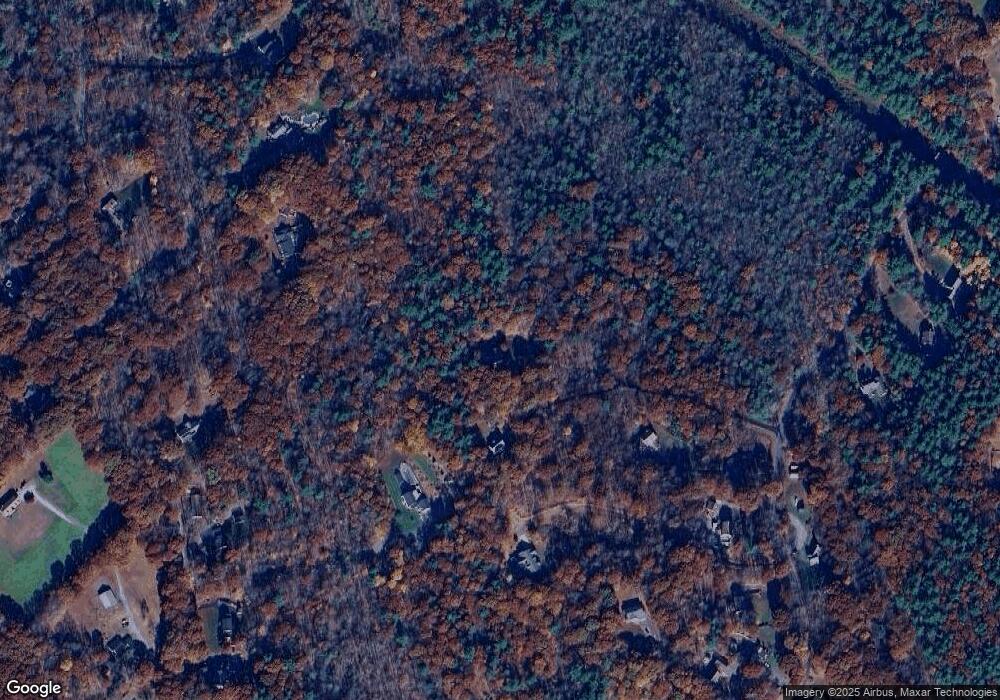
Map
Nearby Homes
- 2 Roberts Way
- 25 Newcomb Rd
- 0 Syd Smith Rd Unit 73395578
- 0 Syd Smith Rd (Rear)
- 0 Syd Smith Rd Map 71 Lot 4-2
- 0
- 0 Worcester Rd Unit 73326124
- 17 Leominster St
- 29 Dawley Rd
- 170 N Common Rd
- 9 Knower Rd
- 100A W Main St
- 21 Davis Rd
- 3 Woods Rd
- 15 Pine St
- 6 Shady Ave
- 29 Sunset Rd
- Lot 3 Sunset Rd
- Lot 5 Sunset Rd
- 25 Sunset Rd
- 139 Bathrick Rd
- 141 Bartherick Rd
- 141 Bartherick Rd Unit 1
- 141 Bathrick Rd
- 143 Bartherick Rd
- 145 Bartherick Rd
- 51 Town Farm Rd
- 147 Bartherick Rd
- 145 Bathrick Rd
- 75 Town Farm Rd
- 124 Bartherick Rd
- 149 Bartherick Rd
- 146 Bartherick Rd
- 149 Bathrick
- 81 Town Farm Rd
- 118 Bartherick Rd
- 155 Bartherick Rd
- 151 Bartherick Rd
- 114 Bartherick Rd
- 114 Bathrick
Your Personal Tour Guide
Ask me questions while you tour the home.