Estimated Value: $505,000 - $680,227
3
Beds
2
Baths
2,552
Sq Ft
$228/Sq Ft
Est. Value
About This Home
This home is located at 139 Barton Rd, Epsom, NH 03234 and is currently estimated at $582,057, approximately $228 per square foot. 139 Barton Rd is a home located in Merrimack County with nearby schools including Epsom Central School.
Create a Home Valuation Report for This Property
The Home Valuation Report is an in-depth analysis detailing your home's value as well as a comparison with similar homes in the area
Home Values in the Area
Average Home Value in this Area
Tax History
| Year | Tax Paid | Tax Assessment Tax Assessment Total Assessment is a certain percentage of the fair market value that is determined by local assessors to be the total taxable value of land and additions on the property. | Land | Improvement |
|---|---|---|---|---|
| 2025 | $9,269 | $528,469 | $208,569 | $319,900 |
| 2024 | $8,203 | $307,920 | $127,820 | $180,100 |
| 2023 | $7,584 | $307,920 | $127,820 | $180,100 |
| 2022 | $7,545 | $316,479 | $136,379 | $180,100 |
| 2021 | $7,482 | $316,479 | $136,379 | $180,100 |
| 2020 | $6,937 | $317,767 | $137,667 | $180,100 |
| 2019 | $7,506 | $277,065 | $126,565 | $150,500 |
| 2018 | $7,228 | $278,338 | $127,838 | $150,500 |
| 2017 | $7,136 | $277,980 | $127,480 | $150,500 |
| 2016 | $6,972 | $278,534 | $128,034 | $150,500 |
Source: Public Records
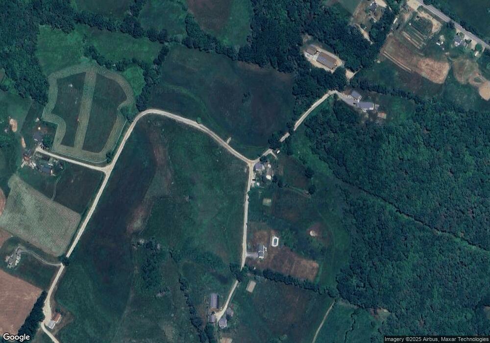
Map
Nearby Homes
- 0 Dowboro Rd Unit 11
- 38 Range Rd
- 18 Catamount Rd
- Map R29 Lot 1-1 Catamount Rd
- 27 Tyler Ave
- 157 Old Turnpike Rd
- Map R29 Lot 1 Catamount Rd
- 955 Catamount Rd
- 5 Old Turnpike Rd
- 1050 Dover Rd
- 218 Old Turnpike Rd
- 19 Meadow Lark Ln
- 520 Goboro Rd
- 74 Nh Route 107
- 3 Spruce Cove Rd
- 88 Old Town Road Extension
- 33 W Meadow Rd
- 0A Old Turnpike Rd
- 1563 1st New Hampshire Turnpike
- 97 Fairview Dr
Your Personal Tour Guide
Ask me questions while you tour the home.