139 Bolling Rd Rutledge, AL 36071
Estimated Value: $239,000 - $274,000
--
Bed
--
Bath
2,700
Sq Ft
$95/Sq Ft
Est. Value
About This Home
This home is located at 139 Bolling Rd, Rutledge, AL 36071 and is currently estimated at $255,215, approximately $94 per square foot. 139 Bolling Rd is a home.
Ownership History
Date
Name
Owned For
Owner Type
Purchase Details
Closed on
Jul 16, 2014
Sold by
Larry Larry and Warren Sherry M
Bought by
Brown Corey Mitchell and Brown Maricia Lewis
Current Estimated Value
Home Financials for this Owner
Home Financials are based on the most recent Mortgage that was taken out on this home.
Original Mortgage
$130,942
Outstanding Balance
$100,037
Interest Rate
4.24%
Mortgage Type
Unknown
Estimated Equity
$155,178
Create a Home Valuation Report for This Property
The Home Valuation Report is an in-depth analysis detailing your home's value as well as a comparison with similar homes in the area
Home Values in the Area
Average Home Value in this Area
Purchase History
| Date | Buyer | Sale Price | Title Company |
|---|---|---|---|
| Brown Corey Mitchell | $135,000 | -- |
Source: Public Records
Mortgage History
| Date | Status | Borrower | Loan Amount |
|---|---|---|---|
| Open | Brown Corey Mitchell | $130,942 |
Source: Public Records
Tax History Compared to Growth
Tax History
| Year | Tax Paid | Tax Assessment Tax Assessment Total Assessment is a certain percentage of the fair market value that is determined by local assessors to be the total taxable value of land and additions on the property. | Land | Improvement |
|---|---|---|---|---|
| 2024 | $1,098 | $23,100 | $500 | $22,600 |
| 2023 | $1,040 | $19,900 | $420 | $19,480 |
| 2022 | $619 | $14,340 | $460 | $13,880 |
| 2021 | $563 | $13,160 | $420 | $12,740 |
| 2020 | $563 | $13,160 | $420 | $12,740 |
| 2019 | $550 | $12,900 | $420 | $12,480 |
| 2018 | $495 | $13,040 | $420 | $12,620 |
| 2017 | $460 | $11,020 | $420 | $10,600 |
| 2016 | $460 | $11,020 | $420 | $10,600 |
| 2015 | $460 | $11,020 | $420 | $10,600 |
| 2014 | $450 | $10,820 | $420 | $10,400 |
| 2013 | $450 | $10,820 | $420 | $10,400 |
Source: Public Records
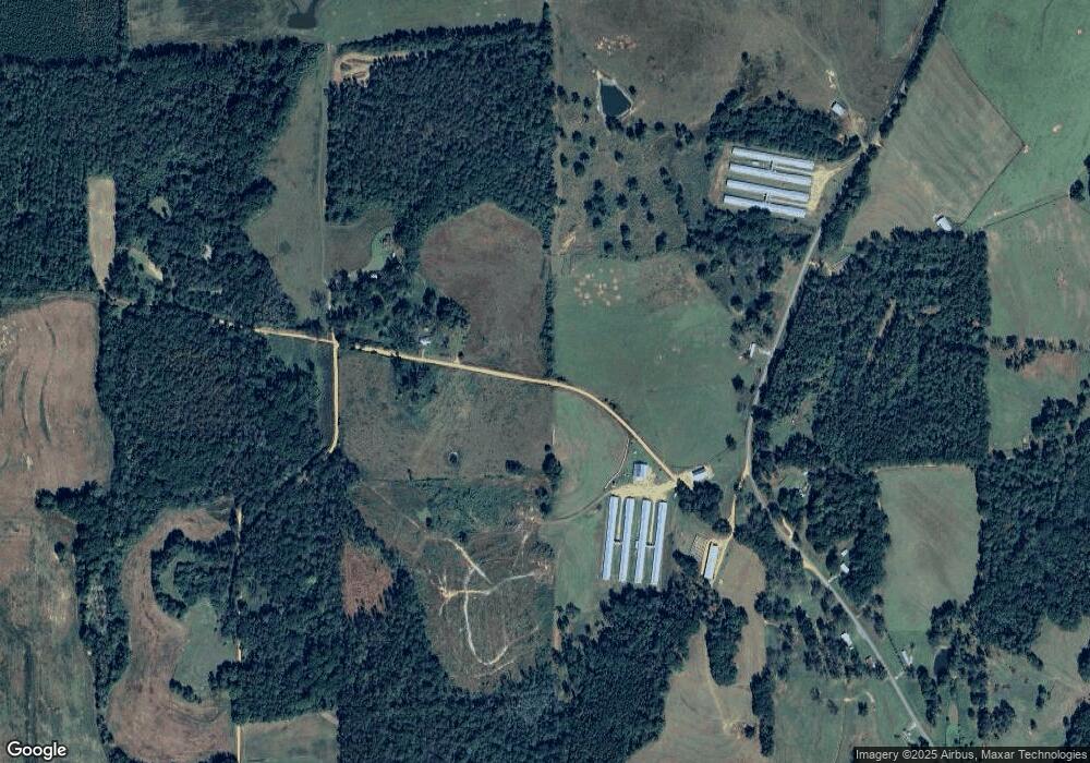
Map
Nearby Homes
- 00 N Jackson Ave
- 208 Davis Pond Rd
- 71 Ferrene Dirt Rd
- 1991 Ballard Rd
- 0 Sexton Bridge Rd Unit 11579999
- 0 Sexton Bridge Rd Unit 25262881
- 581 Jeffcoat St
- 0 Highway 50 Unit 21434965
- W 3rd St Hwy 331
- 370 N Franklin Ave
- 495 W 6th St
- 350 W 3rd St
- 334 W 3rd St
- 397 W 6th St
- 1525 W 3rd St
- 3613 Quail Tower Rd
- 11 E 1st St
- 15 E 1st St
- 388 Glenwood Ave
- 1253 S Forest Ave
- 138 Second St
- 153 N Bolling Ave
- 57 N Bolling Ave
- 57 Bolling Ave
- 57 N Bolling Ave
- 40 Pickens St
- 111 W Pickens St
- 100 N Bolling Ave
- 75 N Watts Ave
- 18 Pickens St
- 1686 Lee St
- 184 Second St
- 233 N Bolling Ave
- 225 N Bolling Ave
- 1784 Lee St
- 22 S Bolling Ave
- 143 N Jackson Ave
- 75 N Jackson Ave Unit 1
- 75 N Jackson Ave Unit 4
- 75 N Jackson Ave Unit 3