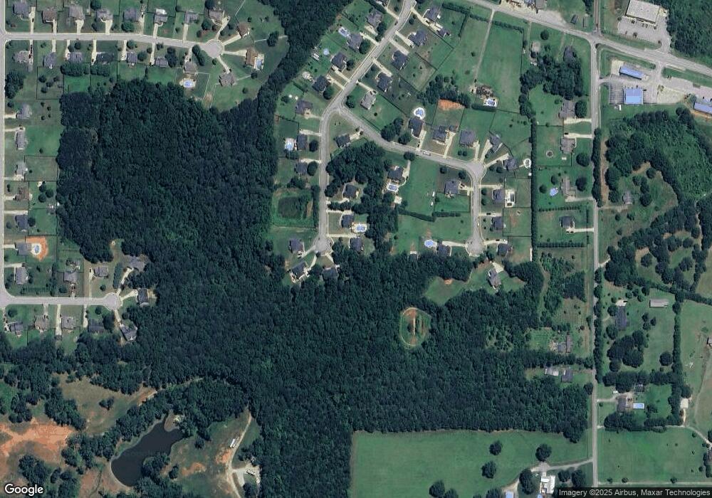
139 Bowers Ln Unit 12 McDonough, GA 30252
Estimated Value: $423,007 - $474,000
5
Beds
3
Baths
2,398
Sq Ft
$190/Sq Ft
Est. Value
About This Home
This home is located at 139 Bowers Ln Unit 12, McDonough, GA 30252 and is currently estimated at $456,502, approximately $190 per square foot. 139 Bowers Ln Unit 12 is a home located in Henry County with nearby schools including Rock Spring Elementary School, Ola Middle School, and Ola High School.
Ownership History
Date
Name
Owned For
Owner Type
Purchase Details
Closed on
Oct 10, 2014
Sold by
Capshaw Development Co Llc
Bought by
Spinks Richard B and Spinks Karen H
Current Estimated Value
Home Financials for this Owner
Home Financials are based on the most recent Mortgage that was taken out on this home.
Original Mortgage
$204,499
Outstanding Balance
$156,615
Interest Rate
4.15%
Mortgage Type
New Conventional
Estimated Equity
$299,887
Purchase Details
Closed on
Mar 26, 2014
Sold by
Spinks Karen H
Bought by
Capshaw Development Co Llc
Purchase Details
Closed on
Mar 28, 2012
Sold by
Crm Central Properties Llc
Bought by
Spinks Karen H and Spinks Brian R
Create a Home Valuation Report for This Property
The Home Valuation Report is an in-depth analysis detailing your home's value as well as a comparison with similar homes in the area
Home Values in the Area
Average Home Value in this Area
Purchase History
| Date | Buyer | Sale Price | Title Company |
|---|---|---|---|
| Spinks Richard B | $255,624 | -- | |
| Capshaw Development Co Llc | -- | -- | |
| Spinks Karen H | $4,800 | -- |
Source: Public Records
Mortgage History
| Date | Status | Borrower | Loan Amount |
|---|---|---|---|
| Open | Spinks Richard B | $204,499 |
Source: Public Records
Tax History Compared to Growth
Tax History
| Year | Tax Paid | Tax Assessment Tax Assessment Total Assessment is a certain percentage of the fair market value that is determined by local assessors to be the total taxable value of land and additions on the property. | Land | Improvement |
|---|---|---|---|---|
| 2025 | $5,819 | $197,200 | $24,000 | $173,200 |
| 2024 | $5,819 | $195,480 | $24,000 | $171,480 |
| 2023 | $4,052 | $139,120 | $18,000 | $121,120 |
| 2022 | $4,557 | $139,120 | $18,000 | $121,120 |
| 2021 | $4,557 | $139,120 | $18,000 | $121,120 |
| 2020 | $4,354 | $130,520 | $14,000 | $116,520 |
| 2019 | $4,039 | $117,200 | $14,000 | $103,200 |
| 2018 | $3,945 | $113,240 | $12,000 | $101,240 |
| 2016 | $3,719 | $103,640 | $12,000 | $91,640 |
| 2015 | $3,692 | $98,280 | $12,000 | $86,280 |
| 2014 | -- | $3,520 | $3,520 | $0 |
Source: Public Records
Map
Nearby Homes
- 227 Aves Ct
- 41 Giles Dr
- 2082 Stroud Rd
- 88 Maddox Dr
- 78 Maddox Dr
- 68 Maddox Dr
- 58 Maddox Dr
- 133 Potomac Dr
- 2248 Stroud Rd
- 518 Gallantry Trail
- 209 Amber Ct
- 267 Ellistown Rd
- 400 Mccart Rd
- 230 Hyannis Dr
- TRACT Ellistown Rd
- Tract 1 Ellistown Rd
- 106 Loam Dr
- 124 Belford Way
- 113 Belford Way
- 305 Moccasin Gap Rd
- 139 Bowers Ln
- 135 Bowers Ln
- 144 Bowers Ln
- 131 Bowers Ln
- 228 Aves Ct
- 204 Aves Ct
- 230 Aves Ct
- 208 Aves Ct
- 136 Bowers Ln
- 140 Bowers Ln
- 200 Aves Ct
- 212 Aves Ct
- 0 Aves Ct Unit 3050752
- 0 Aves Ct Unit 3050751
- 0 Aves Ct Unit 3050747
- 0 Aves Ct Unit 3050727
- 0 Aves Ct Unit 3050713
- 0 Aves Ct Unit 3050691
- 0 Aves Ct Unit 3050667
- 0 Aves Ct Unit 3050643
