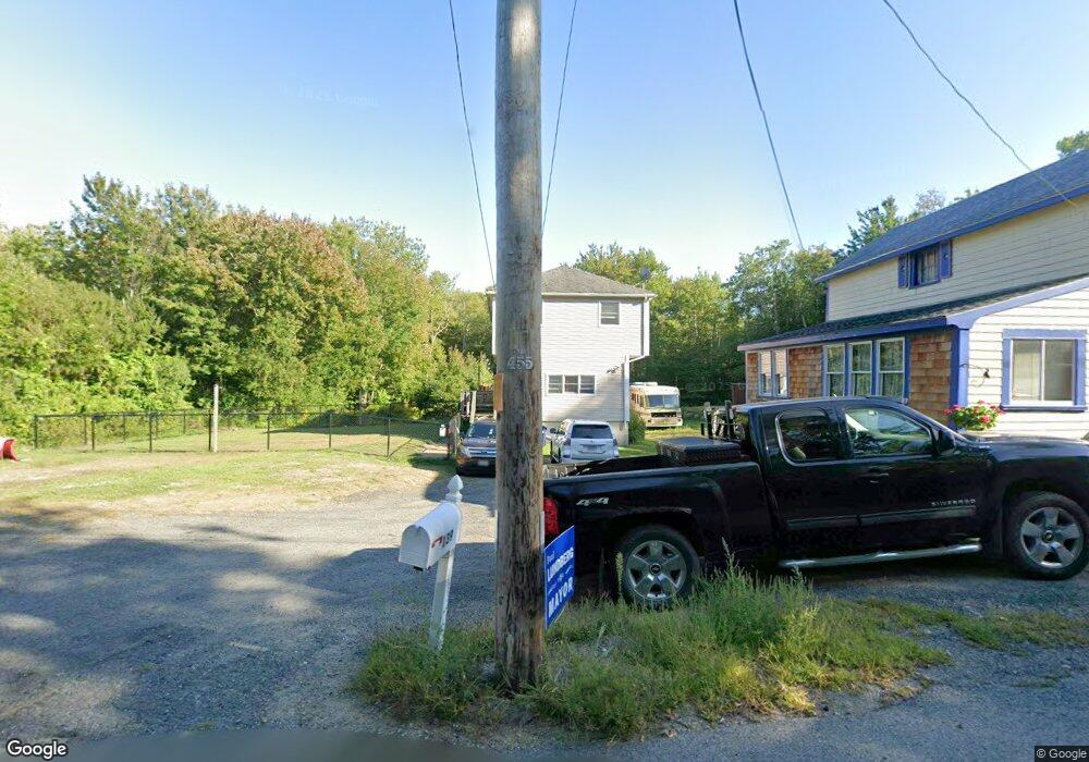
139 Bray St Gloucester, MA 01930
West Gloucester NeighborhoodEstimated Value: $708,307 - $861,000
2
Beds
2
Baths
1,876
Sq Ft
$423/Sq Ft
Est. Value
About This Home
This home is located at 139 Bray St, Gloucester, MA 01930 and is currently estimated at $793,077, approximately $422 per square foot. 139 Bray St is a home located in Essex County with nearby schools including West Parish, Ralph B O'maley Middle School, and Faith Christian School.
Ownership History
Date
Name
Owned For
Owner Type
Purchase Details
Closed on
May 25, 2007
Sold by
Rogers Eva M Est
Bought by
Mackey Kimberly A
Current Estimated Value
Home Financials for this Owner
Home Financials are based on the most recent Mortgage that was taken out on this home.
Original Mortgage
$80,000
Interest Rate
6.27%
Create a Home Valuation Report for This Property
The Home Valuation Report is an in-depth analysis detailing your home's value as well as a comparison with similar homes in the area
Home Values in the Area
Average Home Value in this Area
Purchase History
| Date | Buyer | Sale Price | Title Company |
|---|---|---|---|
| Mackey Kimberly A | -- | -- |
Source: Public Records
Mortgage History
| Date | Status | Borrower | Loan Amount |
|---|---|---|---|
| Open | Mackey Kimberly A | $73,000 | |
| Closed | Mackey Kimberly A | $100,000 | |
| Closed | Mackey Kimberly A | $50,000 | |
| Closed | Mackey Kimberly A | $80,000 |
Source: Public Records
Tax History Compared to Growth
Tax History
| Year | Tax Paid | Tax Assessment Tax Assessment Total Assessment is a certain percentage of the fair market value that is determined by local assessors to be the total taxable value of land and additions on the property. | Land | Improvement |
|---|---|---|---|---|
| 2025 | $5,958 | $613,000 | $166,600 | $446,400 |
| 2024 | $5,888 | $605,100 | $158,700 | $446,400 |
| 2023 | $5,630 | $531,600 | $141,700 | $389,900 |
| 2022 | $5,451 | $464,700 | $123,200 | $341,500 |
| 2021 | $5,261 | $422,900 | $112,000 | $310,900 |
| 2020 | $5,211 | $422,600 | $112,000 | $310,600 |
| 2019 | $4,964 | $391,200 | $112,000 | $279,200 |
| 2018 | $4,771 | $369,000 | $112,000 | $257,000 |
| 2017 | $4,620 | $350,300 | $106,700 | $243,600 |
| 2016 | $4,497 | $330,400 | $111,400 | $219,000 |
| 2015 | $4,237 | $310,400 | $111,400 | $199,000 |
Source: Public Records
Map
Nearby Homes
- 30 Atlantic St
- 7 Leaman Dr
- 188 Atlantic St
- 11 Overlook Ave
- 226 Atlantic St
- 109 Riverview Rd
- 368 Essex Ave
- 49 Thurston Point Rd
- 587 Essex Ave
- 5 Samoset Rd Unit A
- 227 Essex Ave
- 12 Woodward Ave
- 145 Essex Ave Unit 610
- 6 River Rd
- 139 Eastern Ave
- 672 Washington St
- 18 Cherry St
- 6 Beauport Ave
- 65 Poplar St
- 196 Washington St