Estimated Value: $305,000 - $443,000
--
Bed
--
Bath
--
Sq Ft
13
Acres
About This Home
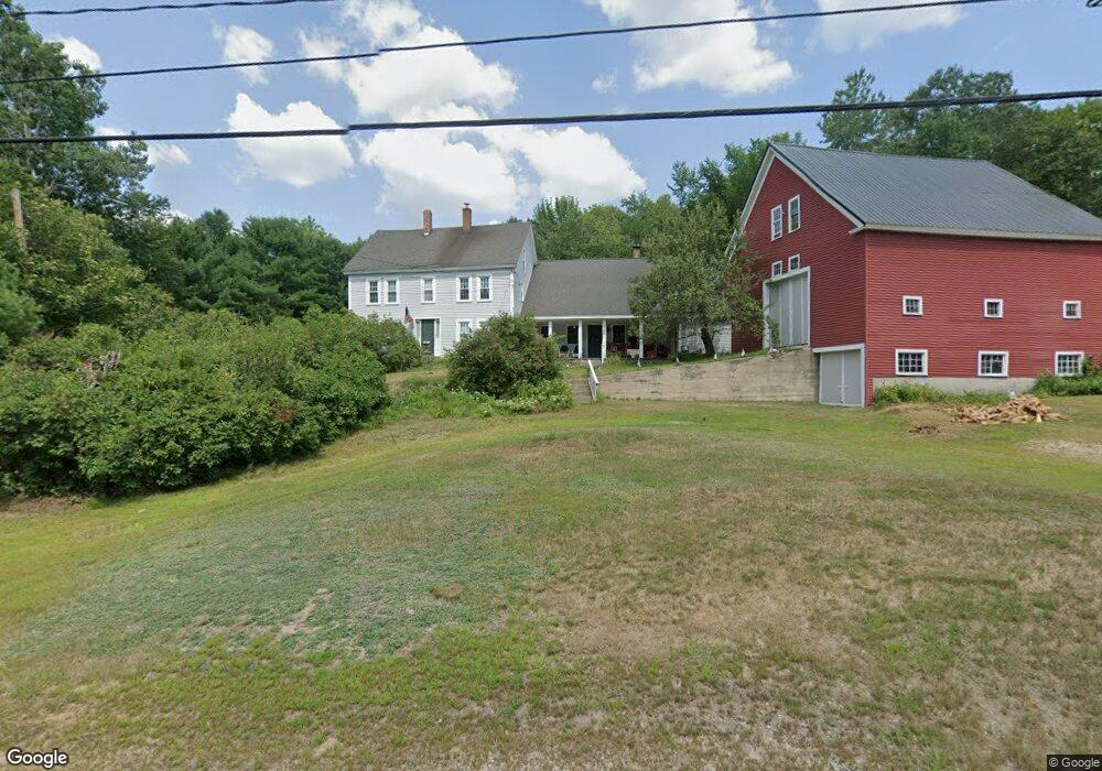
This home is located at 139 Brownfield Rd, Hiram, ME 04041 and is currently estimated at $365,483. 139 Brownfield Rd is a home.
Create a Home Valuation Report for This Property
The Home Valuation Report is an in-depth analysis detailing your home's value as well as a comparison with similar homes in the area
Home Values in the Area
Average Home Value in this Area
Tax History Compared to Growth
Tax History
| Year | Tax Paid | Tax Assessment Tax Assessment Total Assessment is a certain percentage of the fair market value that is determined by local assessors to be the total taxable value of land and additions on the property. | Land | Improvement |
|---|---|---|---|---|
| 2024 | $3,690 | $339,200 | $68,550 | $270,650 |
| 2023 | $3,644 | $294,800 | $54,840 | $239,960 |
| 2022 | $3,307 | $224,660 | $45,700 | $178,960 |
| 2021 | $3,282 | $224,660 | $45,700 | $178,960 |
| 2020 | $3,267 | $224,660 | $45,700 | $178,960 |
| 2019 | $3,267 | $224,660 | $45,700 | $178,960 |
| 2018 | $3,273 | $224,660 | $45,700 | $178,960 |
| 2017 | $3,210 | $224,660 | $45,700 | $178,960 |
| 2016 | $3,300 | $224,660 | $45,700 | $178,960 |
Source: Public Records
Map
Nearby Homes
- 35 Pine St
- 32 Summer St
- 12 Main St
- 248 Spec Pond Rd
- 266 S Hiram Rd
- 272 Tripptown Rd
- 122 Ossipee Trail
- 42AC Ben Gilpatrick Rd
- 00 Brownfield Rd
- 206 Gilman Rd
- 839 Brownfield Rd
- 696 S Hiram Rd
- 96 Maple St
- R3-32 Ossipee Trail
- 20 Main St
- 4 Bridge St
- 62 Eastman Hill Rd
- Lot #2 Jordan Heights Rd
- Lot #8 Jordan Heights Rd
- Lot #3 Jordan Heights Rd
- 136 Brownfield Rd
- 144 Brownfield Rd
- 128 Brownfield Rd
- 149 Brownfield Rd
- 109 Brownfield Rd
- 103 Brownfield Rd
- 181 Brownfield Rd
- 175 Brownfield Rd
- 102 Brownfield Rd
- R15 L 2 Route 160 Sheppard Rd
- 91 Brownfield Rd
- 81 Brownfield Rd
- 88 Brownfield Rd
- 193 Brownfield Rd
- 188 Brownfield Rd
- 0 Bucknell Way
- 82 Brownfield Rd
- 198 Brownfield Rd
- 58 Mountain Way
- 76 Brownfield Rd