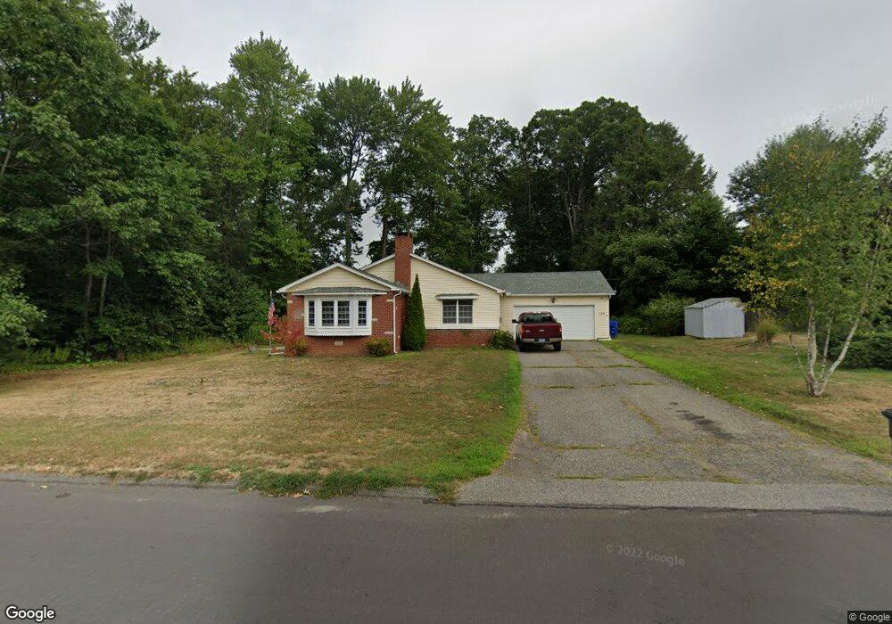
139 Carroll Dr Torrington, CT 06790
Estimated Value: $297,000 - $329,000
2
Beds
2
Baths
1,328
Sq Ft
$233/Sq Ft
Est. Value
About This Home
This home is located at 139 Carroll Dr, Torrington, CT 06790 and is currently estimated at $309,859, approximately $233 per square foot. 139 Carroll Dr is a home located in Litchfield County with nearby schools including Torrington Middle School, Torrington High School, and Torrington Christian Academy.
Ownership History
Date
Name
Owned For
Owner Type
Purchase Details
Closed on
Dec 8, 2023
Sold by
Lemieux Vincent J
Bought by
Lemieux Cody and Stewart Melissa
Current Estimated Value
Home Financials for this Owner
Home Financials are based on the most recent Mortgage that was taken out on this home.
Original Mortgage
$199,200
Outstanding Balance
$195,264
Interest Rate
7.79%
Mortgage Type
Purchase Money Mortgage
Estimated Equity
$114,595
Purchase Details
Closed on
Oct 7, 1997
Sold by
Rauch Lawrence C
Bought by
Lemieux Vincent J and Lemieux Mary Jane
Home Financials for this Owner
Home Financials are based on the most recent Mortgage that was taken out on this home.
Original Mortgage
$66,462
Interest Rate
7.41%
Mortgage Type
Purchase Money Mortgage
Create a Home Valuation Report for This Property
The Home Valuation Report is an in-depth analysis detailing your home's value as well as a comparison with similar homes in the area
Home Values in the Area
Average Home Value in this Area
Purchase History
| Date | Buyer | Sale Price | Title Company |
|---|---|---|---|
| Lemieux Cody | $249,000 | None Available | |
| Lemieux Vincent J | $105,000 | -- |
Source: Public Records
Mortgage History
| Date | Status | Borrower | Loan Amount |
|---|---|---|---|
| Open | Lemieux Cody | $199,200 | |
| Previous Owner | Lemieux Vincent J | $10,825 | |
| Previous Owner | Lemieux Vincent J | $66,462 |
Source: Public Records
Tax History
| Year | Tax Paid | Tax Assessment Tax Assessment Total Assessment is a certain percentage of the fair market value that is determined by local assessors to be the total taxable value of land and additions on the property. | Land | Improvement |
|---|---|---|---|---|
| 2025 | $6,777 | $176,260 | $31,220 | $145,040 |
| 2024 | $4,921 | $102,580 | $31,190 | $71,390 |
| 2023 | $4,920 | $102,580 | $31,190 | $71,390 |
| 2022 | $4,836 | $102,580 | $31,190 | $71,390 |
| 2021 | $4,736 | $102,580 | $31,190 | $71,390 |
| 2020 | $4,736 | $102,580 | $31,190 | $71,390 |
| 2019 | $4,466 | $96,730 | $34,650 | $62,080 |
| 2018 | $4,466 | $96,730 | $34,650 | $62,080 |
| 2017 | $4,425 | $96,730 | $34,660 | $62,070 |
| 2016 | $4,425 | $96,730 | $34,660 | $62,070 |
| 2015 | $4,425 | $96,730 | $34,660 | $62,070 |
| 2014 | $4,435 | $122,120 | $47,780 | $74,340 |
Source: Public Records
Map
Nearby Homes
- 125 Birchwood Dr
- 146 Highfield Dr
- 272 Edgewood Dr
- 23 Hannah Way
- 14 Hannah Way
- 238 Barton St
- 195 Torrington Heights Rd
- 323 Highfield Dr
- 0 Torringford St W
- 340 Hillside Ave
- 83 Birge St
- 35 School St
- 48 Maud St
- 19 Harwinton Ave
- 98 Wheeler Ln
- 291 E Main St
- 65 Oak Meadow Ln Unit 65
- 67 Amherst St
- 279 E Elm St
- 336 Oak Ave
Your Personal Tour Guide
Ask me questions while you tour the home.