139 Cedar Crest Dr Madison Heights, VA 24572
Estimated Value: $126,000 - $155,000
2
Beds
1
Bath
864
Sq Ft
$162/Sq Ft
Est. Value
About This Home
This home is located at 139 Cedar Crest Dr, Madison Heights, VA 24572 and is currently estimated at $139,645, approximately $161 per square foot. 139 Cedar Crest Dr is a home located in Amherst County with nearby schools including Madison Heights Elementary School, Monelison Middle School, and Amherst County High School.
Ownership History
Date
Name
Owned For
Owner Type
Purchase Details
Closed on
May 31, 2023
Sold by
Bennett Woodrow Walter and Bennett Sheila Ann
Bought by
Kaszubowski Ronald S and Kaszubowski Susan A
Current Estimated Value
Home Financials for this Owner
Home Financials are based on the most recent Mortgage that was taken out on this home.
Original Mortgage
$100,000
Outstanding Balance
$97,326
Interest Rate
6.39%
Mortgage Type
New Conventional
Estimated Equity
$42,319
Purchase Details
Closed on
Feb 20, 2013
Sold by
Bennett Woodrow W and Bennett Sheila A
Bought by
Bennett Woodrow W and Bennett Sheila A
Home Financials for this Owner
Home Financials are based on the most recent Mortgage that was taken out on this home.
Original Mortgage
$60,542
Interest Rate
3.87%
Mortgage Type
FHA
Create a Home Valuation Report for This Property
The Home Valuation Report is an in-depth analysis detailing your home's value as well as a comparison with similar homes in the area
Home Values in the Area
Average Home Value in this Area
Purchase History
| Date | Buyer | Sale Price | Title Company |
|---|---|---|---|
| Kaszubowski Ronald S | $124,500 | First American Title | |
| Bennett Woodrow W | -- | National Title Insurance Of |
Source: Public Records
Mortgage History
| Date | Status | Borrower | Loan Amount |
|---|---|---|---|
| Open | Kaszubowski Ronald S | $100,000 | |
| Previous Owner | Bennett Woodrow W | $60,542 |
Source: Public Records
Tax History Compared to Growth
Tax History
| Year | Tax Paid | Tax Assessment Tax Assessment Total Assessment is a certain percentage of the fair market value that is determined by local assessors to be the total taxable value of land and additions on the property. | Land | Improvement |
|---|---|---|---|---|
| 2025 | $357 | $58,500 | $12,500 | $46,000 |
| 2024 | $357 | $58,500 | $12,500 | $46,000 |
| 2023 | $357 | $58,500 | $12,500 | $46,000 |
| 2022 | $357 | $58,500 | $12,500 | $46,000 |
| 2021 | $357 | $58,500 | $12,500 | $46,000 |
| 2020 | $357 | $58,500 | $12,500 | $46,000 |
| 2019 | $392 | $64,300 | $18,500 | $45,800 |
| 2018 | $392 | $64,300 | $18,500 | $45,800 |
| 2017 | $392 | $64,300 | $18,500 | $45,800 |
| 2016 | $392 | $64,300 | $18,500 | $45,800 |
| 2015 | $296 | $64,300 | $18,500 | $45,800 |
| 2014 | $296 | $64,300 | $18,500 | $45,800 |
Source: Public Records
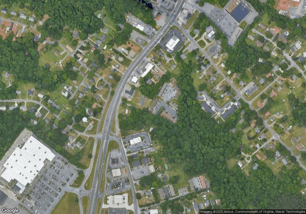
Map
Nearby Homes
- 139 Cedar Crest Dr
- 139 Cedar Crest Dr
- 139 Cedar Crest Dr
- 139 Cedar Crest Dr
- 139 Cedar Crest Dr
- 139 Cedar Crest Dr
- 139 Cedar Crest Dr
- 139 Cedar Crest Dr Unit 108
- 4953 S Amherst Hwy
- 108 Cedar Crest Ct
- 108 Cedar Crest Ct
- 108 Cedar Crest Ct
- 108 Cedar Crest Ct
- 108 Cedar Crest Ct
- 108 Cedar Crest Ct
- 108 Cedar Crest Ct
- 108 Cedar Crest Ct
- 108 Cedar Crest Ct
- 4939 S Amherst Hwy
- 4939 S Amherst Hwy