139 Chandler Rd Strong, ME 04983
Estimated Value: $309,438 - $405,000
Studio
--
Bath
1,350
Sq Ft
$254/Sq Ft
Est. Value
About This Home
This home is located at 139 Chandler Rd, Strong, ME 04983 and is currently estimated at $342,479, approximately $253 per square foot. 139 Chandler Rd is a home located in Franklin County with nearby schools including Mt. Abram Regional High School.
Ownership History
Date
Name
Owned For
Owner Type
Purchase Details
Closed on
May 13, 2019
Sold by
Reed Gilbert C and Reed Joan L
Bought by
Yeaton Stanton M
Current Estimated Value
Home Financials for this Owner
Home Financials are based on the most recent Mortgage that was taken out on this home.
Original Mortgage
$170,000
Outstanding Balance
$148,854
Interest Rate
4%
Mortgage Type
New Conventional
Estimated Equity
$193,625
Purchase Details
Closed on
Dec 27, 2013
Sold by
Reed Sabrina M and Jellison Sabrina M
Bought by
Reed Gilbert C and Reed Joan L
Create a Home Valuation Report for This Property
The Home Valuation Report is an in-depth analysis detailing your home's value as well as a comparison with similar homes in the area
Purchase History
| Date | Buyer | Sale Price | Title Company |
|---|---|---|---|
| Yeaton Stanton M | -- | -- | |
| Reed Gilbert C | -- | -- | |
| Reed Gilbert C | -- | -- |
Source: Public Records
Mortgage History
| Date | Status | Borrower | Loan Amount |
|---|---|---|---|
| Open | Yeaton Stanton M | $170,000 |
Source: Public Records
Tax History
| Year | Tax Paid | Tax Assessment Tax Assessment Total Assessment is a certain percentage of the fair market value that is determined by local assessors to be the total taxable value of land and additions on the property. | Land | Improvement |
|---|---|---|---|---|
| 2024 | $2,877 | $163,470 | $41,000 | $122,470 |
| 2023 | $2,616 | $163,470 | $41,000 | $122,470 |
| 2022 | $2,583 | $163,470 | $41,000 | $122,470 |
| 2021 | $2,697 | $163,470 | $41,000 | $122,470 |
| 2020 | $2,795 | $163,470 | $41,000 | $122,470 |
| 2019 | $2,910 | $163,470 | $41,000 | $122,470 |
| 2018 | $2,534 | $163,470 | $41,000 | $122,470 |
| 2017 | $2,354 | $163,470 | $41,000 | $122,470 |
| 2016 | $2,605 | $183,430 | $42,000 | $141,430 |
| 2015 | $2,696 | $183,430 | $42,000 | $141,430 |
| 2013 | $2,348 | $183,430 | $42,000 | $141,430 |
Source: Public Records
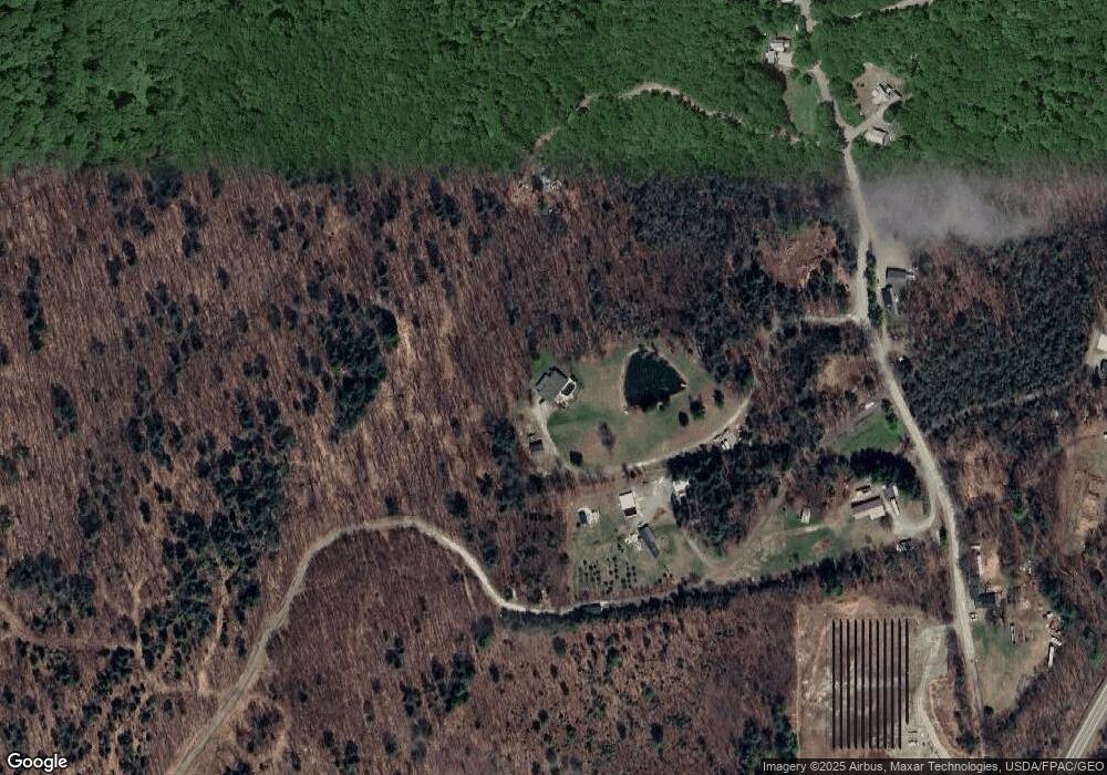
Map
Nearby Homes
- 29 River St
- 44 Norton Hill Rd
- U03-68-C Tbd
- 83 Lambert Hill Rd
- 16 Whitetail Dr
- R-5 13-A Norton Hill Rd
- MR11 L35 Burbank Hill Rd
- 22 W Freeman Rd
- 722 Farmington Rd
- 162.7 Collins Dr
- 43 Brookside Ln
- 9 Beechnut Ridge
- Lot 12 Barker Rd
- Lot 4 Taylor Hill Rd
- 372 River Rd
- R6L38B New Vineyard Rd
- 97 Lake St
- 150 River
- 4 Cousineaus Tory Hill Heights
- 55 Lake St
- 139 Chandler Rd
- 157 Chandler Rd
- 141 Chandler Rd
- 113 Chandler Rd
- 122 Chandler Rd
- 107 Chandler Rd
- TBD Chandler Rd
- 172 Chandler Rd
- 173 Chandler Rd
- 0 Chandler Rd
- 110 Chandler Rd
- 154 Chandler Rd
- 143 Farmington Rd
- 80 Chandler Rd
- 204 Farmington Rd
- 71 Chandler Rd
- 138 Farmington Rd
- 64 Chandler Rd
- 21 Pwr Dr
- 109 Farmington Rd
Your Personal Tour Guide
Ask me questions while you tour the home.