139 Charlie West Rd Blairsville, GA 30512
Ivylog NeighborhoodEstimated Value: $461,000 - $794,000
2
Beds
3
Baths
2,972
Sq Ft
$204/Sq Ft
Est. Value
About This Home
This home is located at 139 Charlie West Rd, Blairsville, GA 30512 and is currently estimated at $607,251, approximately $204 per square foot. 139 Charlie West Rd is a home located in Union County with nearby schools including Union County Primary School, Union County Elementary School, and Union County Middle School.
Ownership History
Date
Name
Owned For
Owner Type
Purchase Details
Closed on
Aug 19, 2011
Sold by
Us Bank Na
Bought by
Roe Gary and Spano Michael W
Current Estimated Value
Purchase Details
Closed on
May 4, 2010
Sold by
Degolyer Carliss J
Bought by
Green Tree Servicing Llc
Purchase Details
Closed on
Mar 5, 1997
Sold by
Two Eagles Inc
Bought by
Two Eagles Inc
Purchase Details
Closed on
Jul 11, 1995
Bought by
Two Eagles Inc
Create a Home Valuation Report for This Property
The Home Valuation Report is an in-depth analysis detailing your home's value as well as a comparison with similar homes in the area
Home Values in the Area
Average Home Value in this Area
Purchase History
| Date | Buyer | Sale Price | Title Company |
|---|---|---|---|
| Roe Gary | $110,000 | -- | |
| Green Tree Servicing Llc | $251,277 | -- | |
| Two Eagles Inc | -- | -- | |
| Two Eagles Inc | $80,000 | -- |
Source: Public Records
Tax History Compared to Growth
Tax History
| Year | Tax Paid | Tax Assessment Tax Assessment Total Assessment is a certain percentage of the fair market value that is determined by local assessors to be the total taxable value of land and additions on the property. | Land | Improvement |
|---|---|---|---|---|
| 2024 | $2,473 | $217,240 | $29,484 | $187,756 |
| 2023 | $2,790 | $217,240 | $31,440 | $185,800 |
| 2022 | $918 | $76,620 | $12,501 | $64,119 |
| 2021 | $1,207 | $76,620 | $14,796 | $61,824 |
| 2020 | $1,389 | $86,402 | $21,420 | $64,982 |
| 2019 | $1,545 | $86,402 | $21,420 | $64,982 |
| 2018 | $1,518 | $86,402 | $21,420 | $64,982 |
| 2017 | $1,518 | $86,402 | $21,420 | $64,982 |
| 2016 | $1,519 | $86,402 | $21,420 | $64,982 |
| 2015 | $1,531 | $86,402 | $21,420 | $64,982 |
| 2013 | -- | $86,402 | $21,420 | $64,982 |
Source: Public Records
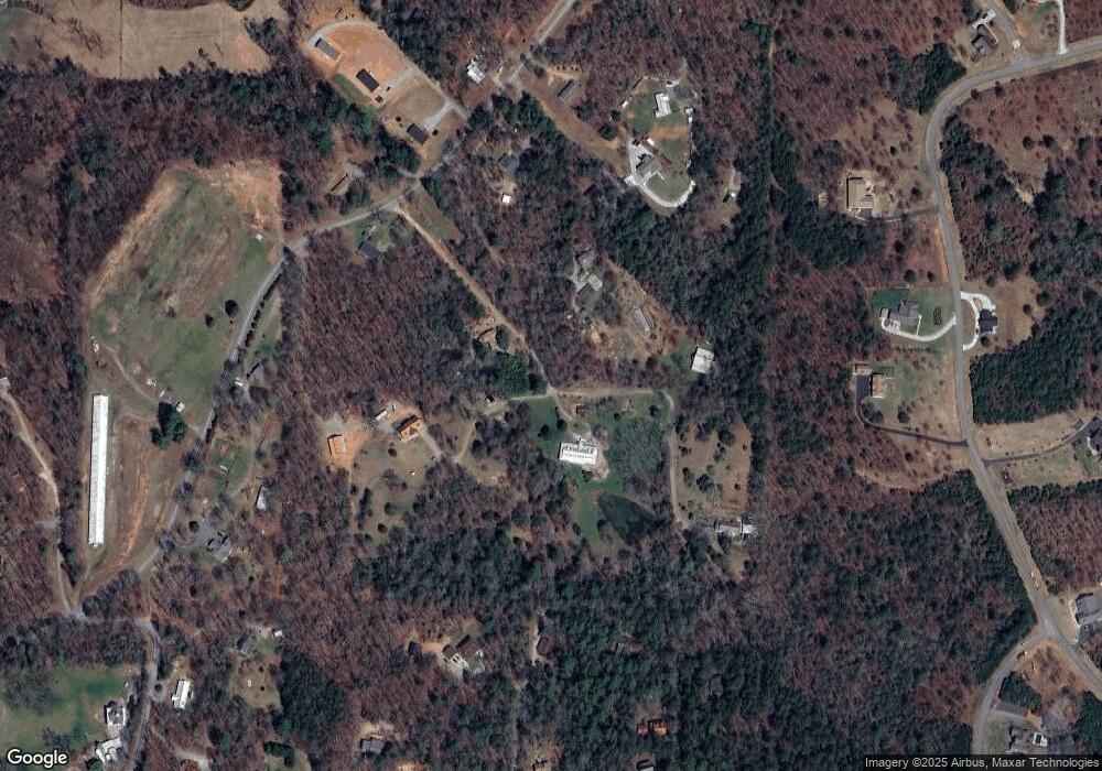
Map
Nearby Homes
- 79 Jackobean Dr
- 76 Water Oak Ln Unit 79
- 76 Water Oak Ln
- 84 Saddle Ridge Ct
- 45 Village Loop
- 90 Paul Nicholson Rd
- LOT 65 Village Loop
- Lot 114 Sandy Lake Ln
- LOT 41 Sandy Lake Ln
- LOT 87 Northshore Dr
- Lt101 Northshore
- 479 Sandy Lake Ln
- 491 Sandy Lake Ln
- 2165 Georgia 325
- 84 Leisure Acres
- 903 Georgia 325
- Tract C Captains Cove
- Tract B Captains Cove
- 583 Fleenor Rd
- 62 Smokey Creek Cove
- 218 Charlie Rd W
- 218 Charlie West Rd
- 484 Nicholson Rd
- 422 Nicholson Rd
- 422 Nicholson Rd
- TR 3 Nicholson Rd
- TR 1 Nicholson Rd
- 517 Nicholson Rd
- 534 Nicholson Rd
- 24 Cedar Wood Ln
- 319 Nicholson Rd
- 14 Stokes Ln
- 68 Stokes Ln
- 319 Nicholson Rd
- 1590 Nicholson Rd
- 260 Nicholson Rd
- 254 Saddle Ridge Ct
- 61 Jackobean Dr
- 106 Maggie Ln
- 591 Nicholson Rd