139 Cherokee Dr Unit 13&14 Jackson, GA 30233
Worthville NeighborhoodEstimated Value: $198,888 - $309,000
2
Beds
1
Bath
1,900
Sq Ft
$122/Sq Ft
Est. Value
About This Home
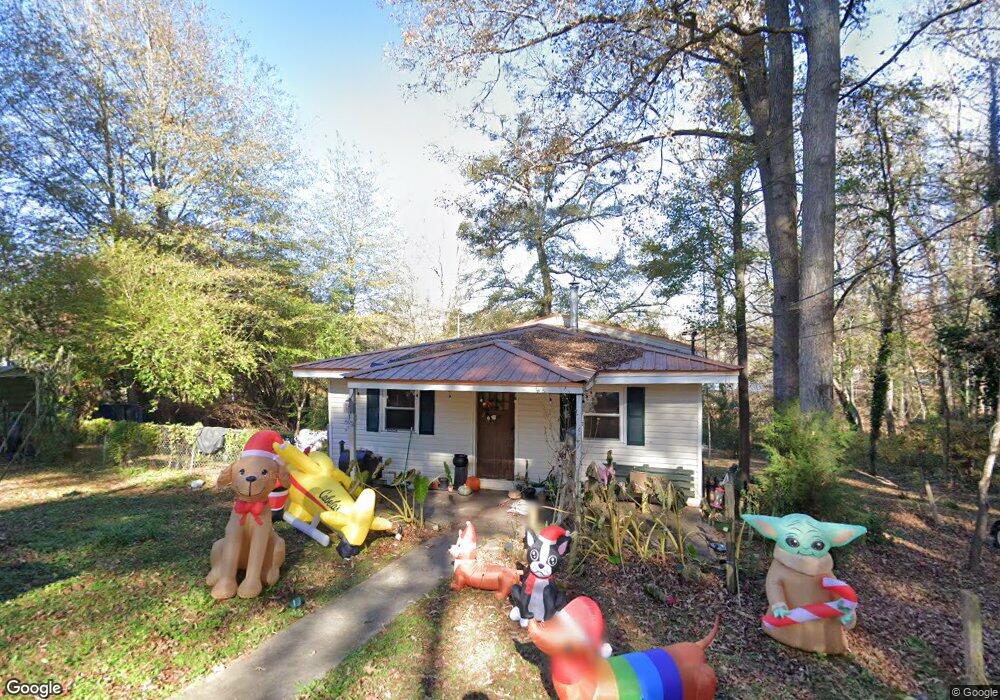
This home is located at 139 Cherokee Dr Unit 13&14, Jackson, GA 30233 and is currently estimated at $231,222, approximately $121 per square foot. 139 Cherokee Dr Unit 13&14 is a home located in Butts County with nearby schools including Jackson High School.
Ownership History
Date
Name
Owned For
Owner Type
Purchase Details
Closed on
Jan 29, 2007
Sold by
Ellis Vida T
Bought by
Schroer Michael D
Current Estimated Value
Home Financials for this Owner
Home Financials are based on the most recent Mortgage that was taken out on this home.
Original Mortgage
$56,000
Outstanding Balance
$33,165
Interest Rate
6.14%
Mortgage Type
New Conventional
Estimated Equity
$198,057
Create a Home Valuation Report for This Property
The Home Valuation Report is an in-depth analysis detailing your home's value as well as a comparison with similar homes in the area
Home Values in the Area
Average Home Value in this Area
Purchase History
| Date | Buyer | Sale Price | Title Company |
|---|---|---|---|
| Schroer Michael D | $70,000 | -- |
Source: Public Records
Mortgage History
| Date | Status | Borrower | Loan Amount |
|---|---|---|---|
| Open | Schroer Michael D | $56,000 | |
| Closed | Schroer Michael D | $14,000 |
Source: Public Records
Tax History Compared to Growth
Tax History
| Year | Tax Paid | Tax Assessment Tax Assessment Total Assessment is a certain percentage of the fair market value that is determined by local assessors to be the total taxable value of land and additions on the property. | Land | Improvement |
|---|---|---|---|---|
| 2024 | $2,122 | $98,379 | $26,208 | $72,171 |
| 2023 | $2,374 | $82,765 | $26,208 | $56,557 |
| 2022 | $1,662 | $61,266 | $18,720 | $42,546 |
| 2021 | $1,503 | $51,726 | $18,720 | $33,006 |
| 2020 | $1,496 | $49,580 | $18,720 | $30,860 |
| 2019 | $1,293 | $44,325 | $18,720 | $25,605 |
| 2018 | $1,287 | $42,286 | $18,720 | $23,566 |
| 2017 | $901 | $29,094 | $10,800 | $18,294 |
| 2016 | $924 | $29,094 | $10,800 | $18,294 |
| 2015 | $967 | $29,094 | $10,800 | $18,294 |
| 2014 | $971 | $29,094 | $10,800 | $18,294 |
Source: Public Records
Map
Nearby Homes
- 0 Apache Dr Unit RTC3043137
- 0 Apache Dr Unit 1523744
- 124 Cherokee Dr
- 175 Cherokee Dr
- 167 Cherokee Dr
- 199 Cherokee Dr
- 00 Cherokee Dr
- 126 Elizabeth Cir
- 0 Southern Shores Rd Unit 182005
- 178 Southern Shores Rd
- 0 S River Dr Unit 10598613
- 0 S River Dr Unit 7644682
- LOT 184 Southern Shores Rd
- 532 Henry Higgins Rd
- 531 S River Dr
- 136 Dukes Rd Unit 23
- 114 Starlake Dr
- 473 Haley Rd
- 470 Haley Rd
- 0 Parker Rd Unit 10548997
- 139 Cherokee Dr
- 136 Cherokee Dr
- 133 Cherokee Dr
- 132 Cherokee Dr
- 127 Apache Rd
- 0 Apache Dr Unit 8594725
- 120 Apache Dr
- 120 Apache Rd
- 156 Cherokee Dr
- 156 Cherokee Dr
- 128 Apache Rd
- 107 Seminole Ave Unit 1
- 107 Seminole Ave
- 107 Seminole Ave
- 109 Seminole Ave
- 116 Apache Rd
- 129 Apache Rd
- 143 Chickasaw Ln
- 114 Apache Rd
- 153 Chickasaw Ln