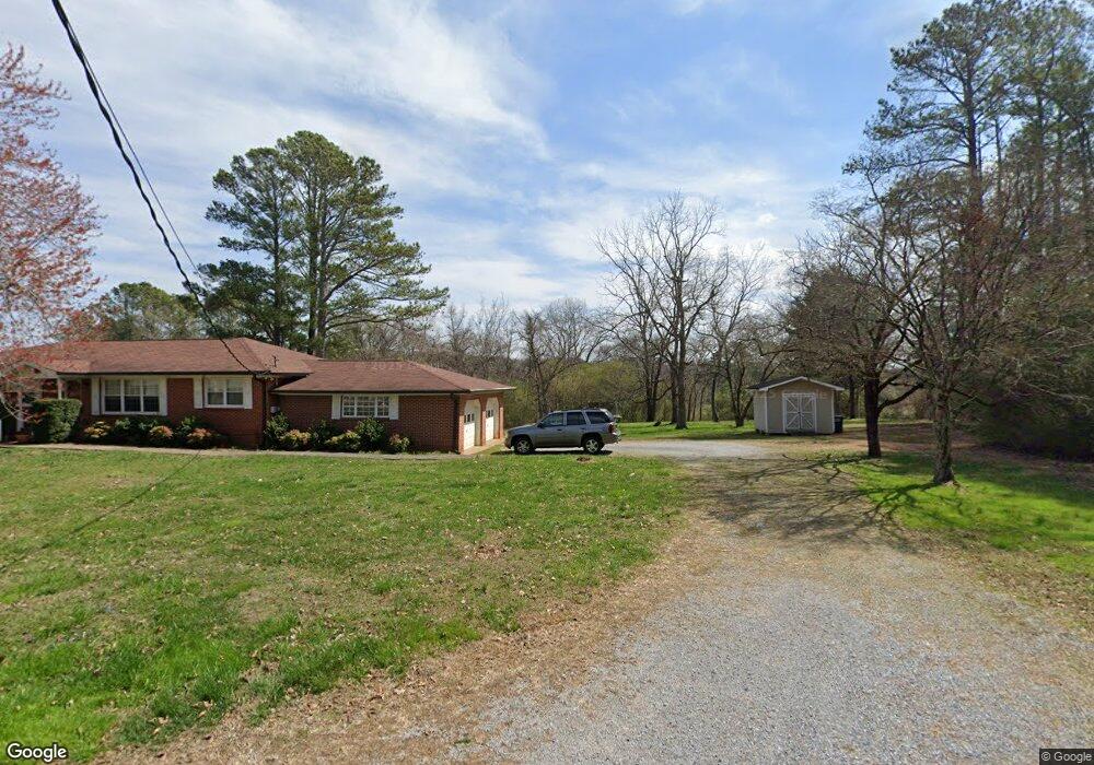
139 Crest Dr Rock Spring, GA 30739
Rock Spring NeighborhoodEstimated Value: $247,691 - $414,000
--
Bed
2
Baths
1,827
Sq Ft
$176/Sq Ft
Est. Value
About This Home
This home is located at 139 Crest Dr, Rock Spring, GA 30739 and is currently estimated at $321,173, approximately $175 per square foot. 139 Crest Dr is a home located in Walker County with nearby schools including Rock Spring Elementary School, Lafayette High School, and Alice M Daley Adventist School.
Ownership History
Date
Name
Owned For
Owner Type
Purchase Details
Closed on
Nov 29, 2018
Sold by
Allen Howard Donald
Bought by
Howard Bernice S
Current Estimated Value
Purchase Details
Closed on
Jul 9, 2010
Sold by
Stidom Richard A
Bought by
Howard Don A
Purchase Details
Closed on
Dec 29, 2004
Sold by
Yates Yates J and Yates Anne
Bought by
Stidom Richard A and Stidom Sharon A
Home Financials for this Owner
Home Financials are based on the most recent Mortgage that was taken out on this home.
Original Mortgage
$103,900
Interest Rate
5.71%
Mortgage Type
New Conventional
Purchase Details
Closed on
Apr 6, 2004
Bought by
Yates Yates J and Yates Anne
Create a Home Valuation Report for This Property
The Home Valuation Report is an in-depth analysis detailing your home's value as well as a comparison with similar homes in the area
Home Values in the Area
Average Home Value in this Area
Purchase History
| Date | Buyer | Sale Price | Title Company |
|---|---|---|---|
| Howard Bernice S | -- | -- | |
| Howard Don A | $145,000 | -- | |
| Stidom Richard A | $129,900 | -- | |
| Yates Yates J | $70,000 | -- |
Source: Public Records
Mortgage History
| Date | Status | Borrower | Loan Amount |
|---|---|---|---|
| Previous Owner | Stidom Richard A | $103,900 |
Source: Public Records
Tax History Compared to Growth
Tax History
| Year | Tax Paid | Tax Assessment Tax Assessment Total Assessment is a certain percentage of the fair market value that is determined by local assessors to be the total taxable value of land and additions on the property. | Land | Improvement |
|---|---|---|---|---|
| 2024 | $1,995 | $85,620 | $7,160 | $78,460 |
| 2023 | $1,945 | $81,503 | $7,160 | $74,343 |
| 2022 | $1,834 | $71,079 | $7,160 | $63,919 |
| 2021 | $1,683 | $58,318 | $7,160 | $51,158 |
| 2020 | $1,453 | $47,576 | $7,160 | $40,416 |
| 2019 | $1,477 | $47,576 | $7,160 | $40,416 |
| 2018 | $1,259 | $47,576 | $7,160 | $40,416 |
| 2017 | $1,294 | $47,576 | $7,160 | $40,416 |
| 2016 | $1,294 | $47,576 | $7,160 | $40,416 |
| 2015 | $982 | $32,719 | $9,600 | $23,119 |
| 2014 | $890 | $32,719 | $9,600 | $23,119 |
| 2013 | $1,259 | $32,719 | $9,600 | $23,119 |
Source: Public Records
Map
Nearby Homes
- 1902 Long Hollow Rd
- 5602 Georgia 95
- 00 Georgia 95
- 1003 Highway N Old 27
- 1370 Old Highway 27
- 195 Honeysuckle Dr
- 701 Bicentennial Trail
- 59 Honeysuckle Dr
- 10180 Us Highway 27
- 36 Pheonix Cir
- 1476 Arnold Rd
- 954 Goodson Cir
- 386 Twelve Oaks Dr
- 1121 Arnold Rd
- 285 Cooper Rd
- 375 Cooper Rd
- 15 Willow Cir
- 23 Willow Cir
- 16 Willow Cir
- 11 Willow Cir