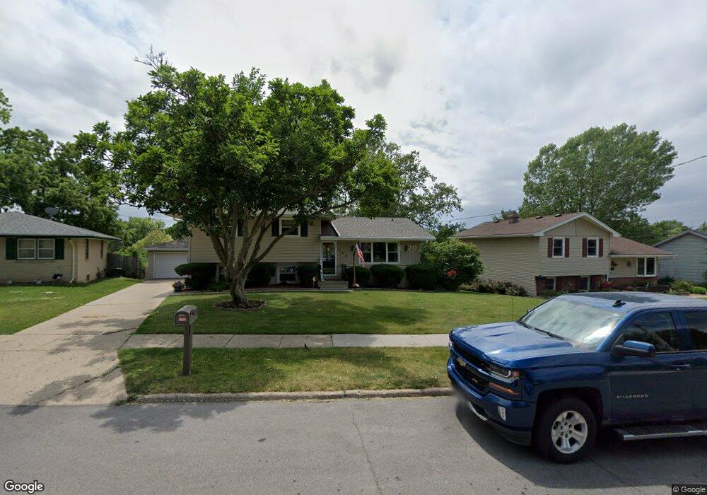
139 E Philip St Des Moines, IA 50315
South Central DSM NeighborhoodEstimated Value: $220,000 - $242,000
About This Home
This home is located at 139 E Philip St, Des Moines, IA 50315 and is currently estimated at $229,958, approximately $214 per square foot. 139 E Philip St is a home located in Polk County with nearby schools including South Union Elementary School, Weeks Middle School, and Lincoln High School.
Ownership History
We collect this data history from publicly available records. To have your information removed, we recommend requesting removal directly through your county’s website.
Purchase Details
Home Financials for this Owner
Home Financials are based on the most recent Mortgage that was taken out on this home.Purchase Details
Purchase Details
Purchase Details
Purchase Details
Purchase Details
Purchase Details
Home Financials for this Owner
Home Financials are based on the most recent Mortgage that was taken out on this home.Home Values in the Area
Average Home Value in this Area
Purchase History
We collect this data history from publicly available records. To have your information removed, we recommend requesting removal directly through your county’s website.
| Date | Buyer | Sale Price | Title Company |
|---|---|---|---|
| -- | None Available | ||
| $63,000 | None Available | ||
| $62,964 | None Available | ||
| $57,000 | None Available | ||
| -- | None Available | ||
| -- | -- | ||
| $131,500 | -- |
Mortgage History
We collect this data history from publicly available records. To have your information removed, we recommend requesting removal directly through your county’s website.
| Date | Status | Borrower | Loan Amount |
|---|---|---|---|
| Closed | $5,602 | ||
| Closed | $9,648 | ||
| Previous Owner | $104,500 |
Tax History
We collect this data history from publicly available records. To have your information removed, we recommend requesting removal directly through your county’s website.
| Year | Tax Paid | Tax Assessment Tax Assessment Total Assessment is a certain percentage of the fair market value that is determined by local assessors to be the total taxable value of land and additions on the property. | Land | Improvement |
|---|---|---|---|---|
| 2025 | $3,834 | $236,300 | $39,200 | $197,100 |
| 2024 | $3,834 | $212,400 | $34,600 | $177,800 |
| 2023 | $4,024 | $212,400 | $34,600 | $177,800 |
| 2022 | $3,992 | $179,600 | $30,300 | $149,300 |
| 2021 | $3,834 | $179,600 | $30,300 | $149,300 |
| 2020 | $3,976 | $162,200 | $27,300 | $134,900 |
| 2019 | $3,614 | $162,200 | $27,300 | $134,900 |
| 2018 | $3,572 | $143,000 | $23,500 | $119,500 |
| 2017 | $3,400 | $143,000 | $23,500 | $119,500 |
| 2016 | $3,306 | $134,200 | $21,800 | $112,400 |
| 2015 | $3,306 | $134,200 | $21,800 | $112,400 |
| 2014 | $3,090 | $131,600 | $20,900 | $110,700 |
Map
- 411 Scandia Ave
- 21 E Mckinley Ave
- 350 E Leach Ave
- 238 Leach Ave
- 306 Herold Ave
- 323 E Watrous Ave
- 346 E Titus Ave
- 3819 S Union St
- 500 E Titus Ave
- 4513 SE 6th St
- 420 Watrous Ave
- 401 E Mckinley Ave
- 501 Trowbridge St
- 404 Titus Ave
- 4905 SW 6th St
- 705 E Watrous Ave
- 612 Mckinley Ave
- 3617 SW 2nd St
- 624 Mckinley Ave
- 707 & 715 E Mckinley Ave
- 135 E Philip St
- 203 E Philip St
- 130 E Maxwelton Dr
- 129 E Philip St
- 120 E Maxwelton Dr
- 204 SE Philip St
- 134 E Maxwelton Dr
- 204 E Philip St
- 200 E Philip St
- 208 E Philip St
- 138 E Philip St
- 123 E Philip St
- 116 E Maxwelton Dr
- 217 E Philip St
- 4440 SE 3rd St
- 134 E Philip St
- 117 E Philip St
- 217 Scandia Cir
- 4434 SE 3rd St
- 231 Scandia Cir
Ask me questions while you tour the home.