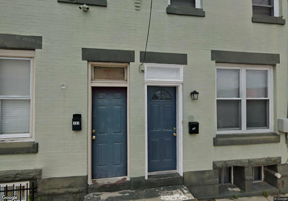
139 E Stafford St Philadelphia, PA 19144
East Germantown NeighborhoodEstimated Value: $101,000 - $135,000
2
Beds
1
Bath
900
Sq Ft
$128/Sq Ft
Est. Value
About This Home
This home is located at 139 E Stafford St, Philadelphia, PA 19144 and is currently estimated at $115,333, approximately $128 per square foot. 139 E Stafford St is a home located in Philadelphia County with nearby schools including Roosevelt Theodore Middle School, Oak Street Elementary School, and Martin Luther King High School.
Ownership History
Date
Name
Owned For
Owner Type
Purchase Details
Closed on
Jan 5, 2003
Sold by
Hud
Bought by
Urban Trust Lp
Current Estimated Value
Purchase Details
Closed on
Jun 19, 2002
Sold by
Washington Mutual Home Loans Inc
Bought by
Hud
Purchase Details
Closed on
Nov 13, 2001
Sold by
Hamilton Travis and Fleet Mtg Corp
Bought by
Washington Mutual Home Loans Inc
Purchase Details
Closed on
Mar 31, 1999
Sold by
Thornton Eugene J
Bought by
Hamilton Travis
Create a Home Valuation Report for This Property
The Home Valuation Report is an in-depth analysis detailing your home's value as well as a comparison with similar homes in the area
Home Values in the Area
Average Home Value in this Area
Purchase History
| Date | Buyer | Sale Price | Title Company |
|---|---|---|---|
| Urban Trust Lp | $17,259 | -- | |
| Hud | -- | -- | |
| Washington Mutual Home Loans Inc | $4,500 | -- | |
| Hamilton Travis | $27,000 | -- |
Source: Public Records
Tax History Compared to Growth
Tax History
| Year | Tax Paid | Tax Assessment Tax Assessment Total Assessment is a certain percentage of the fair market value that is determined by local assessors to be the total taxable value of land and additions on the property. | Land | Improvement |
|---|---|---|---|---|
| 2026 | $717 | $98,200 | $19,640 | $78,560 |
| 2025 | $717 | $98,200 | $19,640 | $78,560 |
| 2024 | $717 | $98,200 | $19,640 | $78,560 |
| 2023 | $992 | $70,900 | $14,180 | $56,720 |
| 2022 | $773 | $70,900 | $14,180 | $56,720 |
| 2021 | $773 | $0 | $0 | $0 |
| 2020 | $773 | $0 | $0 | $0 |
| 2019 | $808 | $0 | $0 | $0 |
| 2018 | $871 | $0 | $0 | $0 |
| 2017 | $871 | $0 | $0 | $0 |
| 2016 | $871 | $0 | $0 | $0 |
| 2015 | $833 | $0 | $0 | $0 |
| 2014 | -- | $62,200 | $4,243 | $57,957 |
| 2012 | -- | $5,280 | $702 | $4,578 |
Source: Public Records
Map
Nearby Homes
- 222 E Price St
- 22 E Rittenhouse St
- 5604 6 Utah St
- 5612 Utah St
- 328 E Armat St
- 1133-1135 Germantown Ave
- 4619 Germantown Ave
- 4918 Germantown Ave
- 5630 Heiskell St
- 335 E Armat St
- 5634 Heiskell St
- 345 E Armat St
- 5634 Morton St
- 5638 Morton St
- 5433 Wakefield St
- 35 E High St
- 51 E High St
- 6008 Concord St
- 6018 Concord St
- 75 E High St
- 137 E Stafford St
- 133 E Stafford St
- 134 E Price St
- 136 E Price St
- 130 E Price St
- 128 E Price St
- 126 E Price St
- 122 E Price St
- 206 E Price St
- 118 E Price St
- 116 E Price St
- 5800 Wakefield St
- 212 E Price St
- 5802 Wakefield St
- 117 E Chelten Ave
- 117-19 E Chelten Ave
- 5804 Wakefield St
- 5803 Wakefield St
- 5806 Wakefield St
- 171 E Stafford St