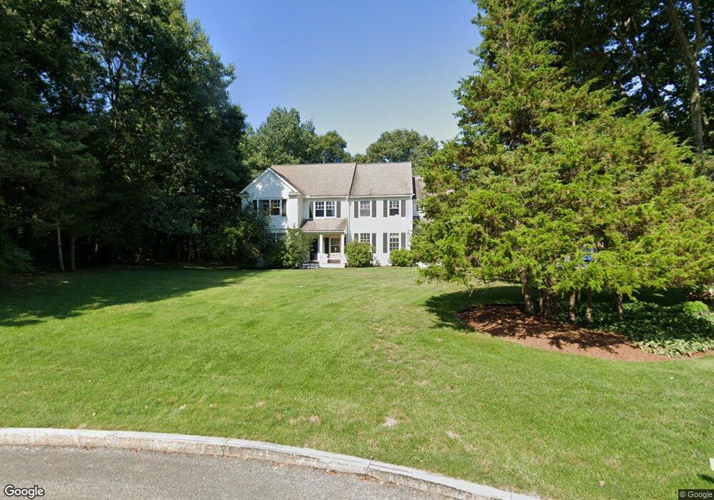
139 Everett St Natick, MA 01760
Estimated Value: $1,330,000 - $2,107,000
4
Beds
4
Baths
4,230
Sq Ft
$399/Sq Ft
Est. Value
About This Home
This home is located at 139 Everett St, Natick, MA 01760 and is currently estimated at $1,689,385, approximately $399 per square foot. 139 Everett St is a home located in Middlesex County with nearby schools including Natick High School, Memorial Elementary School, and J F Kennedy Middle School.
Ownership History
Date
Name
Owned For
Owner Type
Purchase Details
Closed on
Aug 26, 1994
Sold by
Knott Thomas A and Knott Lisa M
Bought by
Rosenberg Geoffrey B and Rosenberg Lynne E
Current Estimated Value
Home Financials for this Owner
Home Financials are based on the most recent Mortgage that was taken out on this home.
Original Mortgage
$150,000
Interest Rate
8.56%
Create a Home Valuation Report for This Property
The Home Valuation Report is an in-depth analysis detailing your home's value as well as a comparison with similar homes in the area
Home Values in the Area
Average Home Value in this Area
Purchase History
| Date | Buyer | Sale Price | Title Company |
|---|---|---|---|
| Rosenberg Geoffrey B | $620,000 | -- |
Source: Public Records
Mortgage History
| Date | Status | Borrower | Loan Amount |
|---|---|---|---|
| Open | Rosenberg Geoffrey B | $365,000 | |
| Closed | Rosenberg Geoffrey B | $100,000 | |
| Closed | Rosenberg Geoffrey B | $150,000 | |
| Closed | Rosenberg Geoffrey B | $335,000 |
Source: Public Records
Tax History
| Year | Tax Paid | Tax Assessment Tax Assessment Total Assessment is a certain percentage of the fair market value that is determined by local assessors to be the total taxable value of land and additions on the property. | Land | Improvement |
|---|---|---|---|---|
| 2025 | $16,921 | $1,414,800 | $672,700 | $742,100 |
| 2024 | $16,416 | $1,339,000 | $641,600 | $697,400 |
| 2023 | $14,799 | $1,170,800 | $631,100 | $539,700 |
| 2022 | $13,859 | $1,038,900 | $517,600 | $521,300 |
| 2021 | $332 | $982,900 | $494,100 | $488,800 |
| 2020 | $13,138 | $965,300 | $476,500 | $488,800 |
| 2019 | $12,269 | $965,300 | $476,500 | $488,800 |
| 2018 | $11,729 | $898,800 | $445,400 | $453,400 |
| 2017 | $11,936 | $884,800 | $439,600 | $445,200 |
| 2016 | $11,950 | $880,600 | $439,600 | $441,000 |
| 2015 | $11,663 | $843,900 | $439,600 | $404,300 |
Source: Public Records
Map
Nearby Homes
- 11 Morgan Dr Unit 404
- 7 Allison Way Unit 7
- 16 Wayside Rd Unit 14
- 6 Hopewell Farm Rd
- 303 Eliot St
- 216-218 S Main St
- 62 Oakland St
- 14 Pinewood Ave
- 1 Fern St
- 16 West St
- 25 Forest Ave
- 28 Sylvester Rd
- 81 Woodland St
- 6 Floral Avenue Extension
- 211 Eliot St
- 12 Floral Ave
- 137 Lake St
- 5 Reynolds Ave Unit 2
- 63 Pond St
- 189 Eliot St
- 8 Wild Meadow Ln
- 135 Everett St
- 9 Wild Meadow Ln
- 133 Everett St
- 7 Wild Meadow Ln
- 143 Everett St
- 137 Everett St
- 131 Everett St
- 5 Wild Meadow Ln
- 2 Wild Meadow Ln
- 130 Everett St
- 3 Wild Meadow Ln
- 128 Everett St
- 15 Morgan Dr Unit 406
- 15 Morgan Dr Unit 409
- 15 Morgan Dr Unit 201
- 15 Morgan Dr Unit 402
- 15 Morgan Dr Unit 301
- 15 Morgan Dr Unit 405
- 15 Morgan Dr Unit 304
Your Personal Tour Guide
Ask me questions while you tour the home.