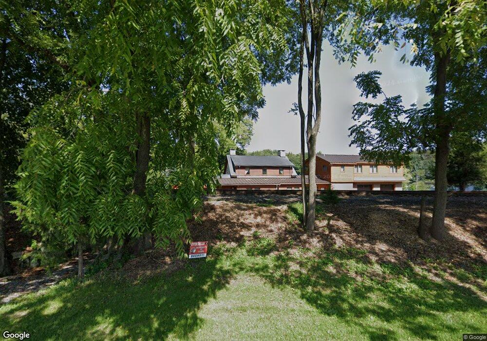
139 Foul Rift Rd Belvidere, NJ 07823
Estimated Value: $475,000 - $721,000
--
Bed
--
Bath
2,618
Sq Ft
$236/Sq Ft
Est. Value
About This Home
This home is located at 139 Foul Rift Rd, Belvidere, NJ 07823 and is currently estimated at $618,733, approximately $236 per square foot. 139 Foul Rift Rd is a home located in Warren County with nearby schools including White Township Consolidated Elementary School.
Ownership History
Date
Name
Owned For
Owner Type
Purchase Details
Closed on
Nov 14, 2002
Sold by
Cicale Richard R and Cicale Carol A
Bought by
Shade Jack R and Shade Vicki A
Current Estimated Value
Home Financials for this Owner
Home Financials are based on the most recent Mortgage that was taken out on this home.
Original Mortgage
$333,000
Outstanding Balance
$139,581
Interest Rate
6.03%
Estimated Equity
$479,152
Create a Home Valuation Report for This Property
The Home Valuation Report is an in-depth analysis detailing your home's value as well as a comparison with similar homes in the area
Home Values in the Area
Average Home Value in this Area
Purchase History
| Date | Buyer | Sale Price | Title Company |
|---|---|---|---|
| Shade Jack R | $370,000 | -- |
Source: Public Records
Mortgage History
| Date | Status | Borrower | Loan Amount |
|---|---|---|---|
| Open | Shade Jack R | $333,000 |
Source: Public Records
Tax History Compared to Growth
Tax History
| Year | Tax Paid | Tax Assessment Tax Assessment Total Assessment is a certain percentage of the fair market value that is determined by local assessors to be the total taxable value of land and additions on the property. | Land | Improvement |
|---|---|---|---|---|
| 2025 | $14,195 | $567,800 | $227,100 | $340,700 |
| 2024 | $13,633 | $567,800 | $227,100 | $340,700 |
| 2023 | $13,099 | $567,800 | $227,100 | $340,700 |
| 2022 | $13,099 | $438,500 | $227,100 | $211,400 |
| 2021 | $10,029 | $438,500 | $227,100 | $211,400 |
| 2020 | $9,568 | $438,500 | $227,100 | $211,400 |
| 2019 | $9,037 | $438,500 | $227,100 | $211,400 |
| 2018 | $9,037 | $393,400 | $227,100 | $166,300 |
| 2017 | $7,754 | $362,500 | $227,100 | $135,400 |
| 2016 | $7,906 | $362,500 | $227,100 | $135,400 |
| 2015 | $7,591 | $362,500 | $227,100 | $135,400 |
| 2014 | $7,529 | $362,500 | $227,100 | $135,400 |
Source: Public Records
Map
Nearby Homes
- 7 Rosewood Terrace
- 6560 Martins Creek Belvidere Hwy
- 11 Willow Dr
- 29 Willow Dr
- 6 Starlight Terrace
- 2 Edelweiss Way
- 4 Dawn Dr
- 3 Post Rd
- 10 Clover Ln
- 3 Stonehill Ln
- 6 Caroline Dr
- 4 Rainbow Terrace
- 5 Caroline Dr
- 16 Caroline Dr
- 6 A Caroline Dr
- 138 4th St
- 241 Depue St
- 400 Greenwich St
- 7727 Martins Creek Belvidere Hwy
- 404 3rd St
- 135 Foul Rift Rd
- 133 Foul Rift Rd
- 127 Foul Rift Rd
- 125 Foul Rift Rd
- 119 Foul Rift Rd
- 117 Foul Rift Rd
- 113 Foul Rift Rd
- 111 Foul Rift Rd
- 108 Foul Rift Rd
- 6861 Martins Creek Belvidere Hwy
- 6861 Martins Creek Belvidere Hwy
- 103 Foul Rift Rd
- 156 Foul Rift Rd
- 99 Foul Rift Rd
- 101 Foul Rift Rd
- 6815 Martins Creek Belvidere Hwy
- 179 Foul Rift Rd
- 6565 Martin Crk Belvidere Hwy
- 3 Hickory Terrace
- 5 Hickory Terrace