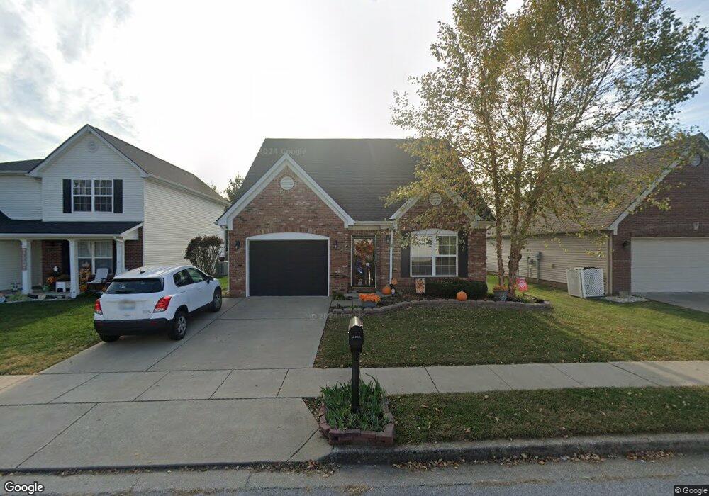
139 Grisham Dr Georgetown, KY 40324
Bradford Place NeighborhoodEstimated Value: $291,000 - $301,991
3
Beds
3
Baths
1,584
Sq Ft
$188/Sq Ft
Est. Value
About This Home
This home is located at 139 Grisham Dr, Georgetown, KY 40324 and is currently estimated at $297,748, approximately $187 per square foot. 139 Grisham Dr is a home located in Scott County with nearby schools including Southern Elementary School, Creekside Elementary School, and Georgetown Middle School.
Ownership History
Date
Name
Owned For
Owner Type
Purchase Details
Closed on
Aug 7, 2009
Sold by
Ball Homes Llc
Bought by
Bundy Robert O and Bundy Tammy L
Current Estimated Value
Home Financials for this Owner
Home Financials are based on the most recent Mortgage that was taken out on this home.
Original Mortgage
$141,216
Outstanding Balance
$92,776
Interest Rate
5.36%
Mortgage Type
FHA
Estimated Equity
$204,972
Create a Home Valuation Report for This Property
The Home Valuation Report is an in-depth analysis detailing your home's value as well as a comparison with similar homes in the area
Home Values in the Area
Average Home Value in this Area
Purchase History
| Date | Buyer | Sale Price | Title Company |
|---|---|---|---|
| Bundy Robert O | $143,822 | Vgt Title Services Llc |
Source: Public Records
Mortgage History
| Date | Status | Borrower | Loan Amount |
|---|---|---|---|
| Open | Bundy Robert O | $141,216 |
Source: Public Records
Tax History Compared to Growth
Tax History
| Year | Tax Paid | Tax Assessment Tax Assessment Total Assessment is a certain percentage of the fair market value that is determined by local assessors to be the total taxable value of land and additions on the property. | Land | Improvement |
|---|---|---|---|---|
| 2024 | $1,819 | $248,600 | $0 | $0 |
| 2023 | $1,716 | $235,600 | $42,000 | $193,600 |
| 2022 | $1,316 | $195,300 | $35,000 | $160,300 |
| 2021 | $1,348 | $183,600 | $35,000 | $148,600 |
| 2020 | $1,449 | $168,600 | $35,000 | $133,600 |
| 2019 | $1,056 | $160,300 | $0 | $0 |
| 2018 | $1,000 | $152,818 | $0 | $0 |
| 2017 | $1,005 | $152,818 | $0 | $0 |
| 2016 | $886 | $146,990 | $0 | $0 |
| 2015 | $1,151 | $143,800 | $0 | $0 |
| 2014 | $894 | $107,822 | $0 | $0 |
| 2011 | $68 | $109,822 | $0 | $0 |
Source: Public Records
Map
Nearby Homes
- The Laurel Square Plan at South Crossing - Trend Collection
- The Sycamore Bend Plan at South Crossing - Trend Collection
- The Newbury Cross Plan at South Crossing - Trend Collection
- The Haywood Park Plan at South Crossing - Trend Collection
- The Sutton Bay Plan at South Crossing - Trend Collection
- The Bayberry Lane Plan at South Crossing - Trend Collection
- The Barclay Point Plan at South Crossing - Trend Collection
- The Dover Glen Plan at South Crossing - Trend Collection
- The Bedford Hill Plan at South Crossing - Trend Collection
- The Oak Bluff Plan at South Crossing - Trend Collection
- The Gaines Mill Plan at South Crossing - Trend Collection
- 128 Warren Pass
- 1020 Parkside Dr
- 151 Hemingway Place
- 102 Wharton Ct
- 110 Lovett Park Ln
- 107 Oconner Ct
- 217 Atwood Dr
- 129 Irving Ln
- 115 Walden Cove
- 141 Grisham Dr
- 137 Grisham Dr
- 135 Grisham Dr
- 143 Grisham Dr Unit 4C
- 146 Chamberlain Dr
- 133 Grisham Dr
- 131 Grisham Dr
- 144 Chamberlain Dr
- 145 Chamberlain Dr
- 129 Grisham Dr
- 142 Chamberlain Dr
- 143 Chamberlain Dr
- 140 Chamberlain Dr
- 126 Grisham Dr
- 127 Grisham Dr
- 102 Marketplace Cir Unit B
- 141 Chamberlain Dr
- 138 Chamberlain Dr
- 139 Chamberlain Dr
- 120 Grisham Dr