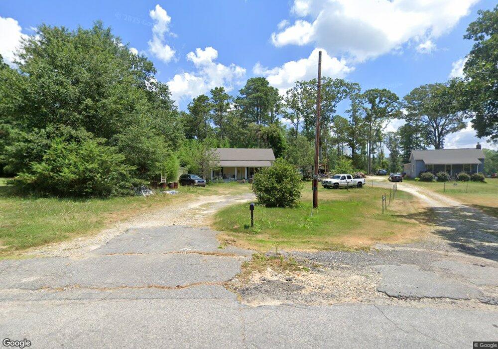
139 H I Taylor Rd Williamston, SC 29697
Williamston-Pelzer NeighborhoodEstimated Value: $136,942 - $316,000
3
Beds
--
Bath
1,597
Sq Ft
$143/Sq Ft
Est. Value
About This Home
This home is located at 139 H I Taylor Rd, Williamston, SC 29697 and is currently estimated at $228,736, approximately $143 per square foot. 139 H I Taylor Rd is a home with nearby schools including Cedar Grove Elementary School, Palmetto Middle School, and Palmetto High School.
Ownership History
Date
Name
Owned For
Owner Type
Purchase Details
Closed on
Oct 25, 2012
Sold by
Pact Land Llc
Bought by
Winiecki Russell
Current Estimated Value
Purchase Details
Closed on
Nov 10, 2011
Sold by
Lane Todd K and Lane Todd
Bought by
Pact Land Llc
Purchase Details
Closed on
Nov 30, 2010
Sold by
Prince Christopher
Bought by
Lane Todd K
Purchase Details
Closed on
Feb 20, 2006
Sold by
Horne Ronnie
Bought by
Prince Christopher
Home Financials for this Owner
Home Financials are based on the most recent Mortgage that was taken out on this home.
Original Mortgage
$60,000
Interest Rate
6.04%
Mortgage Type
Future Advance Clause Open End Mortgage
Create a Home Valuation Report for This Property
The Home Valuation Report is an in-depth analysis detailing your home's value as well as a comparison with similar homes in the area
Home Values in the Area
Average Home Value in this Area
Purchase History
| Date | Buyer | Sale Price | Title Company |
|---|---|---|---|
| Winiecki Russell | $10,000 | -- | |
| Pact Land Llc | -- | -- | |
| Lane Todd K | $1,685 | -- | |
| Prince Christopher | $55,000 | None Available |
Source: Public Records
Mortgage History
| Date | Status | Borrower | Loan Amount |
|---|---|---|---|
| Previous Owner | Prince Christopher | $60,000 |
Source: Public Records
Tax History Compared to Growth
Tax History
| Year | Tax Paid | Tax Assessment Tax Assessment Total Assessment is a certain percentage of the fair market value that is determined by local assessors to be the total taxable value of land and additions on the property. | Land | Improvement |
|---|---|---|---|---|
| 2024 | $874 | $2,310 | $630 | $1,680 |
| 2023 | $874 | $2,310 | $630 | $1,680 |
| 2022 | $796 | $2,310 | $630 | $1,680 |
| 2021 | $816 | $2,230 | $510 | $1,720 |
| 2020 | $798 | $2,230 | $510 | $1,720 |
| 2019 | $798 | $2,230 | $510 | $1,720 |
| 2018 | $776 | $2,230 | $510 | $1,720 |
| 2017 | -- | $2,230 | $510 | $1,720 |
| 2016 | $784 | $2,310 | $460 | $1,850 |
| 2015 | $799 | $2,310 | $460 | $1,850 |
| 2014 | $780 | $2,310 | $460 | $1,850 |
Source: Public Records
Map
Nearby Homes
- 110 Loveland Dr
- 336 H I Taylor Rd
- 109 Big Woods Cir
- 117 Big Woods Cir
- 128 Sheila Dr
- 208 Big Woods Cir
- 1105 Breazeale Rd
- 105 Big Woods Cir
- 215 Breazeale Dr
- 301 Valley Oak Dr
- 611 Foster Rd
- 127 C-7-116
- 128 C-7-116
- 124 C-7-116
- 126 C-7-116
- 125 C-7-116
- 125,127 C-7-116
- 124,126,128 C-7-116
- 101 C-7-116
- 125, 127 C-7-116
- 143 H I Taylor Rd
- 2645 Anderson Hwy
- 113 H I Taylor Rd
- 15 H I Taylor Rd
- 205 Taylor Ct
- 2629 Anderson Hwy
- 2615 Anderson Hwy
- 305 H I Taylor Rd
- 63 Allie Campbell Rd
- 214 Woodtrail Dr
- 214 Woodtrail Dr
- 216 Woodtrail Dr
- 212 Woodtrail Dr
- 8 Oakwood Ct
- 218 Woodtrail Dr
- 00 H I Taylor Rd
- 7 Oakwood Ct
- 220 Woodtrail Dr
- 210 Woodtrail Dr
- 2605 Anderson Hwy