139 Hamp Jones Rd Carrollton, GA 30117
Estimated Value: $228,000 - $607,496
3
Beds
1
Bath
1,092
Sq Ft
$352/Sq Ft
Est. Value
About This Home
This home is located at 139 Hamp Jones Rd, Carrollton, GA 30117 and is currently estimated at $384,499, approximately $352 per square foot. 139 Hamp Jones Rd is a home located in Carroll County with nearby schools including Mt. Zion Elementary School, Mt. Zion Middle School, and Mt. Zion High School.
Ownership History
Date
Name
Owned For
Owner Type
Purchase Details
Closed on
Oct 13, 2010
Sold by
Silvey Family Partnership Lp
Bought by
Aubrey Silvey Enterprises Inc
Current Estimated Value
Purchase Details
Closed on
Oct 11, 2010
Sold by
Silvey Thomas David
Bought by
Silvey Family Partnership Lp
Purchase Details
Closed on
Dec 31, 2008
Sold by
Not Provided
Bought by
Aubrey Silvey Enterprises Inc
Purchase Details
Closed on
Jun 22, 2000
Sold by
Cohran Martha O
Bought by
Silvey Family Partnership Lp
Purchase Details
Closed on
Nov 17, 1994
Bought by
Cohran Martha O
Create a Home Valuation Report for This Property
The Home Valuation Report is an in-depth analysis detailing your home's value as well as a comparison with similar homes in the area
Home Values in the Area
Average Home Value in this Area
Purchase History
| Date | Buyer | Sale Price | Title Company |
|---|---|---|---|
| Aubrey Silvey Enterprises Inc | $511,500 | -- | |
| Silvey Family Partnership Lp | -- | -- | |
| Aubrey Silvey Enterprises Inc | -- | -- | |
| Siley Thomas David | -- | -- | |
| Silvey Family Partnership Lp | $135,000 | -- | |
| Cohran Martha O | -- | -- |
Source: Public Records
Tax History Compared to Growth
Tax History
| Year | Tax Paid | Tax Assessment Tax Assessment Total Assessment is a certain percentage of the fair market value that is determined by local assessors to be the total taxable value of land and additions on the property. | Land | Improvement |
|---|---|---|---|---|
| 2024 | $3,812 | $168,492 | $134,704 | $33,788 |
| 2023 | $3,812 | $139,520 | $107,764 | $31,756 |
| 2022 | $2,445 | $97,503 | $71,842 | $25,661 |
| 2021 | $2,071 | $80,781 | $57,472 | $23,309 |
| 2020 | $1,837 | $71,557 | $52,247 | $19,310 |
| 2019 | $2,204 | $85,152 | $66,812 | $18,340 |
| 2018 | $1,650 | $62,847 | $45,644 | $17,203 |
| 2017 | $1,655 | $62,847 | $45,644 | $17,203 |
| 2016 | $1,656 | $62,847 | $45,644 | $17,203 |
| 2015 | $2,067 | $73,912 | $58,740 | $15,173 |
| 2014 | $2,076 | $73,913 | $58,740 | $15,173 |
Source: Public Records
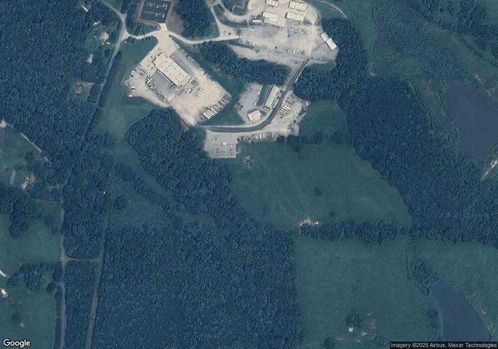
Map
Nearby Homes
- 406 Holly Springs Rd
- 14 Cole Lake Rd
- 4748 Us Highway 27
- 405 Adler Point
- 112 Turkey Creek Trail
- 469 Lee Williams Rd
- 174 Katie Ln
- 676 Hog Liver Rd
- 00 Hog Liver Rd Unit 346
- 0 Hog Liver Rd Unit 148331
- 0 Hog Liver Rd Unit 10630257
- 0 Hog Liver Rd Unit 7671087
- 0 Hog Liver Rd Unit 10614601
- 0 Hog Liver Rd Unit 10630818
- 68 Tyler Ln
- 1401 Alabama Ave
- 142 Tyler Ln
- 1800 Mandeville Rd
- 898 Bowdon Junction Rd
- Plan 1709 at Saddle Ridge
- 371 Hamp Jones Rd
- 242 Hamp Jones Rd
- 268 Hamp Jones Rd
- 196 Hamp Jones Rd
- 284 Hamp Jones Rd
- 331 Akin Rd
- 140 Hamp Jones Rd
- 284 Akin Rd
- 103 Hamp Jones Rd
- 134 Hamp Jones Rd
- 467 Hamp Jones Rd
- 0 Hamp Jones Rd
- 328 Hamp Jones Rd
- 394 Hamp Jones Rd
- 442 Walnut Hill Rd
- 351 Walnut Hill Rd
- 426 Hamp Jones Rd
- 341 Walnut Hill Rd
- 78 Hamp Jones Rd