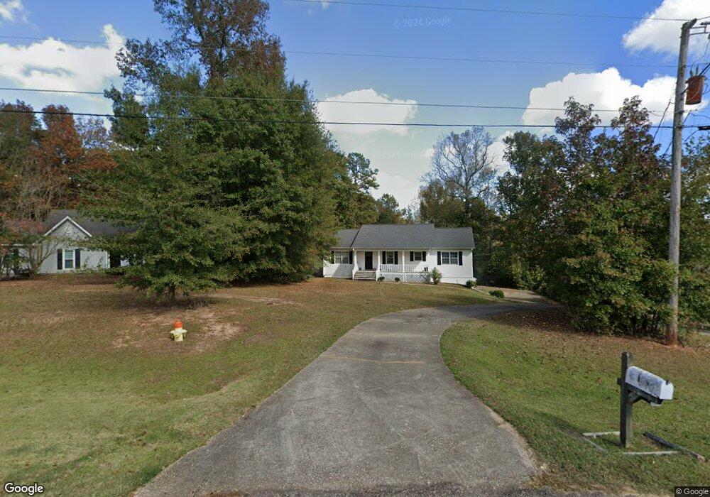
139 Hawthorne Cir Lagrange, GA 30240
Estimated Value: $241,897 - $279,000
3
Beds
3
Baths
1,512
Sq Ft
$176/Sq Ft
Est. Value
About This Home
This home is located at 139 Hawthorne Cir, Lagrange, GA 30240 and is currently estimated at $265,724, approximately $175 per square foot. 139 Hawthorne Cir is a home located in Troup County with nearby schools including Long Cane Elementary School, Berta Weathersbee Elementary School, and Whitesville Road Elementary School.
Ownership History
Date
Name
Owned For
Owner Type
Purchase Details
Closed on
Jun 13, 2024
Sold by
Shealey Shirlean
Bought by
Beauford Talishe and Shealey Shirlean
Current Estimated Value
Purchase Details
Closed on
Mar 17, 2022
Sold by
Shealey Marian
Bought by
Shealey Shirlean
Purchase Details
Closed on
Jul 21, 1989
Sold by
Dan-Ric Inc
Bought by
Shealey Marian
Purchase Details
Closed on
Sep 1, 1986
Sold by
Dan-Ric Inc
Bought by
Dan-Ric Inc
Create a Home Valuation Report for This Property
The Home Valuation Report is an in-depth analysis detailing your home's value as well as a comparison with similar homes in the area
Home Values in the Area
Average Home Value in this Area
Purchase History
| Date | Buyer | Sale Price | Title Company |
|---|---|---|---|
| Beauford Talishe | -- | -- | |
| Shealey Shirlean | -- | -- | |
| Shealey Marian | $89,000 | -- | |
| Dan-Ric Inc | $87,400 | -- |
Source: Public Records
Tax History Compared to Growth
Tax History
| Year | Tax Paid | Tax Assessment Tax Assessment Total Assessment is a certain percentage of the fair market value that is determined by local assessors to be the total taxable value of land and additions on the property. | Land | Improvement |
|---|---|---|---|---|
| 2024 | $2,443 | $89,560 | $14,000 | $75,560 |
| 2023 | $2,145 | $78,640 | $10,000 | $68,640 |
| 2022 | $2,065 | $74,000 | $8,000 | $66,000 |
| 2021 | $1,709 | $56,680 | $6,000 | $50,680 |
| 2020 | $1,709 | $56,680 | $6,000 | $50,680 |
| 2019 | $1,615 | $53,560 | $6,000 | $47,560 |
| 2018 | $1,615 | $53,560 | $6,000 | $47,560 |
| 2017 | $1,615 | $53,560 | $6,000 | $47,560 |
| 2016 | $1,289 | $42,725 | $6,000 | $36,725 |
| 2015 | $1,291 | $42,725 | $6,000 | $36,725 |
| 2014 | $1,234 | $40,792 | $6,000 | $34,792 |
| 2013 | -- | $42,443 | $6,000 | $36,443 |
Source: Public Records
Map
Nearby Homes
- 110 Hawthorne Cir
- 103 Hawthorne Cir
- 105 Hawthorne Cir
- 190 Hill Rd
- 124 Foxdale Dr
- 100 Huntcliff Ct
- 808 S Fling Rd
- 509 Connie Dr
- 141 Plymouth Dr
- 37 Overbrook Dr
- 135 Planters Ridge Dr
- 0 Bradfield Dr Unit 10568803
- 102 Franklin Place
- 119 Plymouth Dr
- 22 Freeman Rd
- 61 Freeman Rd
- 101 Ivy Springs Dr
- 0 Deming St Unit 10550189
- 474 Newton Rd
- LOT 4 Angela Dr
- 137 Hawthorne Cir
- 141 Hawthorne Cir
- 135 Hawthorne Cir
- 143 Hawthorne Cir
- 118 Hawthorne Cir Unit 48
- 118 Hawthorne Cir
- 120 Hawthorne Cir
- 133 Hawthorne Cir
- 145 Hawthorne Cir Unit 19
- 145 Hawthorne Cir
- 116 Hawthorne Cir
- 122 Hawthorne Cir
- 131 Hawthorne Cir
- 147 Hawthorne Cir
- 114 Hawthorne Cir
- 124 Hawthorne Cir
- 149 Hawthorne Cir
- 129 Hawthorne Cir
- 126 Hawthorne Cir
- 151 Hawthorne Cir