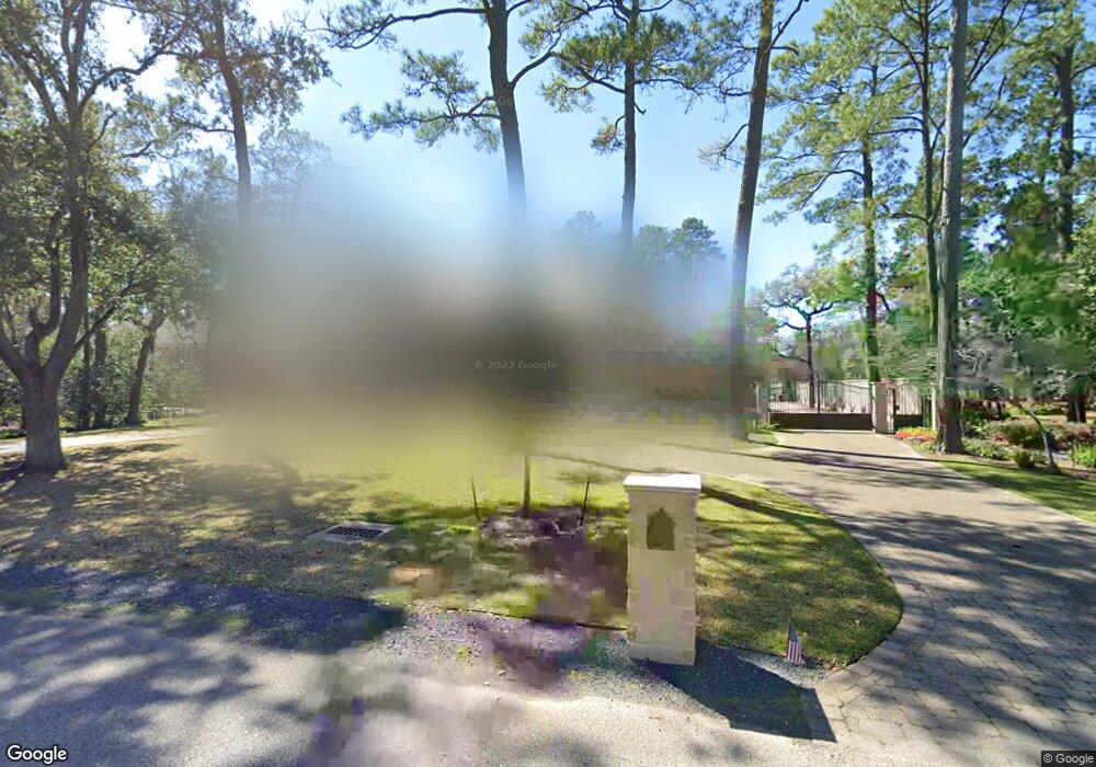
139 Hickory Ridge Dr Houston, TX 77024
Memorial NeighborhoodEstimated Value: $5,101,000 - $6,410,013
5
Beds
4
Baths
5,467
Sq Ft
$1,053/Sq Ft
Est. Value
About This Home
This home is located at 139 Hickory Ridge Dr, Houston, TX 77024 and is currently estimated at $5,755,507, approximately $1,052 per square foot. 139 Hickory Ridge Dr is a home located in Harris County with nearby schools including Frostwood Elementary School, Memorial Middle, and Memorial High School.
Ownership History
Date
Name
Owned For
Owner Type
Purchase Details
Closed on
Nov 3, 2010
Sold by
Palmer Ronald O and Palmer Ernestine Newman
Bought by
Ranslem David W and Ranslem Leigh Ann
Current Estimated Value
Purchase Details
Closed on
Sep 17, 1999
Sold by
Tinsley Richard D and Tinsley Mary Emily
Bought by
Palmer Ronald O and Palmer Ernestine Newman
Create a Home Valuation Report for This Property
The Home Valuation Report is an in-depth analysis detailing your home's value as well as a comparison with similar homes in the area
Home Values in the Area
Average Home Value in this Area
Purchase History
| Date | Buyer | Sale Price | Title Company |
|---|---|---|---|
| Ranslem David W | -- | Startex Title Company | |
| Palmer Ronald O | -- | Charter Title Company |
Source: Public Records
Tax History Compared to Growth
Tax History
| Year | Tax Paid | Tax Assessment Tax Assessment Total Assessment is a certain percentage of the fair market value that is determined by local assessors to be the total taxable value of land and additions on the property. | Land | Improvement |
|---|---|---|---|---|
| 2025 | $128,307 | $8,477,000 | $3,630,503 | $4,846,497 |
| 2024 | $128,307 | $7,400,000 | $3,388,470 | $4,011,530 |
| 2023 | $117,269 | $7,000,000 | $3,388,470 | $3,611,530 |
| 2022 | $173,071 | $6,623,654 | $3,388,470 | $3,235,184 |
| 2021 | $168,503 | $6,623,654 | $3,534,512 | $3,089,142 |
| 2020 | $156,913 | $5,639,096 | $3,534,512 | $2,104,584 |
| 2019 | $164,024 | $5,665,803 | $3,534,512 | $2,131,291 |
| 2018 | $51,473 | $5,644,528 | $3,534,512 | $2,110,016 |
| 2017 | $163,302 | $5,644,528 | $3,534,512 | $2,110,016 |
| 2016 | $155,913 | $0 | $0 | $0 |
| 2015 | $70,190 | $5,497,238 | $2,945,427 | $2,551,811 |
| 2014 | $70,190 | $3,306,277 | $1,442,662 | $1,863,615 |
Source: Public Records
Map
Nearby Homes
- 234 Plantation Rd
- 170 Haversham Dr
- 150 Gessner Rd Unit 5A
- 0 Gessner Rd
- 318 Knipp Rd
- 10 Warrenton Dr
- 6 Gessner Rd
- 345 Knipp Rd
- 3 Plantation Rd
- 8 Woodstone St
- 1 Woodstone St
- 12327 Tunbridge Ln
- 12003 Tall Oaks St
- 201 Vanderpool Ln Unit 103
- 201 Vanderpool Ln Unit 65
- 201 Vanderpool Ln Unit 64
- 45 Patti Lynn Ln
- 31 Knipp Rd
- 11722 Claywood St
- 354 Tealwood Dr
- 135 Hickory Ridge Dr
- 143 Hickory Ridge Dr
- 138 Hickory Ridge Dr
- Woodway Dr
- Woodway Dr
- Woodway Dr
- 131 Hickory Ridge Dr
- 147 Hickory Ridge Dr
- 170 Stoney Creek Dr
- 166 Stoney Creek Dr
- 174 Stoney Creek Dr
- 130 Hickory Ridge Dr
- 162 Stoney Creek Dr
- 178 Stoney Creek Dr
- 158 Stoney Creek Dr
- 202 Stoney Creek Dr
- 95 Hibury Dr
- 151 Hickory Ridge Dr
- 97 Hibury Dr
- 153 Hickory Ridge Dr