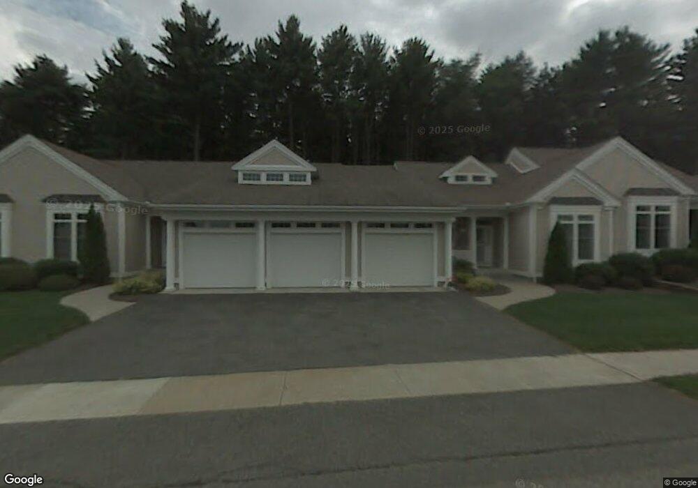
139 High Pine Cir Wilbraham, MA 01095
Estimated Value: $500,000 - $593,000
2
Beds
2
Baths
1,904
Sq Ft
$284/Sq Ft
Est. Value
About This Home
This home is located at 139 High Pine Cir, Wilbraham, MA 01095 and is currently estimated at $540,282, approximately $283 per square foot. 139 High Pine Cir is a home located in Hampden County with nearby schools including Minnechaug Regional High School and Wilbraham & Monson Academy.
Ownership History
Date
Name
Owned For
Owner Type
Purchase Details
Closed on
Jun 15, 2012
Sold by
Shirly Judith A and Shirly Donald J
Bought by
Farrell Donna T and Peterson Maryanne
Current Estimated Value
Purchase Details
Closed on
Jan 13, 2000
Sold by
Woods At Wilbraham Llc
Bought by
Shirly Donald J and Shirly Judith A
Home Financials for this Owner
Home Financials are based on the most recent Mortgage that was taken out on this home.
Original Mortgage
$50,000
Interest Rate
7.79%
Mortgage Type
Purchase Money Mortgage
Create a Home Valuation Report for This Property
The Home Valuation Report is an in-depth analysis detailing your home's value as well as a comparison with similar homes in the area
Home Values in the Area
Average Home Value in this Area
Purchase History
| Date | Buyer | Sale Price | Title Company |
|---|---|---|---|
| Farrell Donna T | -- | -- | |
| Shirly Donald J | $206,900 | -- |
Source: Public Records
Mortgage History
| Date | Status | Borrower | Loan Amount |
|---|---|---|---|
| Previous Owner | Shirly Donald J | $100,000 | |
| Previous Owner | Shirly Donald J | $10,000 | |
| Previous Owner | Shirly Donald J | $50,000 |
Source: Public Records
Tax History Compared to Growth
Tax History
| Year | Tax Paid | Tax Assessment Tax Assessment Total Assessment is a certain percentage of the fair market value that is determined by local assessors to be the total taxable value of land and additions on the property. | Land | Improvement |
|---|---|---|---|---|
| 2025 | $8,017 | $448,400 | $0 | $448,400 |
| 2024 | $7,468 | $403,700 | $0 | $403,700 |
| 2023 | $7,542 | $392,700 | $0 | $392,700 |
| 2022 | $7,542 | $368,100 | $0 | $368,100 |
| 2021 | $6,493 | $282,800 | $0 | $282,800 |
| 2020 | $6,329 | $282,800 | $0 | $282,800 |
| 2019 | $6,241 | $286,300 | $0 | $286,300 |
| 2018 | $6,480 | $286,200 | $0 | $286,200 |
| 2017 | $6,296 | $286,200 | $0 | $286,200 |
| 2016 | $5,908 | $273,500 | $0 | $273,500 |
| 2015 | $5,711 | $273,500 | $0 | $273,500 |
Source: Public Records
Map
Nearby Homes
- 79 High Pine Cir
- 69 High Pine Cir
- 54 High Pine Cir
- 35 Lake Dr
- 4 Hillcrest Dr
- 2 Vista Rd
- 28 Decorie Dr
- 46 Washington Rd
- 2 Bayberry Dr Unit 51
- 20 Old Orchard Rd
- 8 Patriot Ridge Ln
- 474 Mountain Rd
- 474-480 Mountain Rd
- 182 Mountain Rd
- 6 Teak Terrace Unit 24
- 19 Linwood Dr
- 99 Sandalwood Dr Unit site 00
- 103 Sandalwood Dr Unit site 00
- 57 Sandalwood Dr Unit site 61
- 111 Sandalwood Dr Unit site 00
- 137 High Pine Cir
- 135 High Pine Cir
- 133 High Pine Cir
- 133 High Pine Cir Unit 133
- 137 High Pine Cir Unit 137
- 7 High Pine Cir
- 5 High Pine Cir
- 3 High Pine Cir
- 1 High Pine Cir
- 6 High Pine Cir
- 4 High Pine Cir
- 2 High Pine Cir
- 8 High Pine Cir
- 7 Balsam Dr
- 1 Balsam Dr
- 5 Balsam Dr
- 3 Balsam Dr
- 5 Balsam Dr Unit 5
- 84 High Pine Cir Unit 84
- 84 High Pine Cir Unit 184