139 Hoyt Farm Rd New Canaan, CT 06840
Estimated Value: $3,272,000 - $4,353,000
5
Beds
7
Baths
7,418
Sq Ft
$493/Sq Ft
Est. Value
About This Home
This home is located at 139 Hoyt Farm Rd, New Canaan, CT 06840 and is currently estimated at $3,655,969, approximately $492 per square foot. 139 Hoyt Farm Rd is a home located in Fairfield County with nearby schools including East Elementary School, Saxe Middle School, and New Canaan High School.
Ownership History
Date
Name
Owned For
Owner Type
Purchase Details
Closed on
Jun 22, 2009
Sold by
Vertucci Deborah A
Bought by
Alexander Julius A and Alexander Jacquelyne H
Current Estimated Value
Home Financials for this Owner
Home Financials are based on the most recent Mortgage that was taken out on this home.
Original Mortgage
$708,750
Outstanding Balance
$451,169
Interest Rate
4.91%
Estimated Equity
$3,204,800
Create a Home Valuation Report for This Property
The Home Valuation Report is an in-depth analysis detailing your home's value as well as a comparison with similar homes in the area
Home Values in the Area
Average Home Value in this Area
Purchase History
| Date | Buyer | Sale Price | Title Company |
|---|---|---|---|
| Alexander Julius A | $1,900,000 | -- |
Source: Public Records
Mortgage History
| Date | Status | Borrower | Loan Amount |
|---|---|---|---|
| Open | Alexander Julius A | $417,000 | |
| Open | Alexander Julius A | $708,750 | |
| Previous Owner | Alexander Julius A | $125,000 |
Source: Public Records
Tax History Compared to Growth
Tax History
| Year | Tax Paid | Tax Assessment Tax Assessment Total Assessment is a certain percentage of the fair market value that is determined by local assessors to be the total taxable value of land and additions on the property. | Land | Improvement |
|---|---|---|---|---|
| 2025 | $32,161 | $1,926,960 | $660,450 | $1,266,510 |
| 2024 | $31,101 | $1,926,960 | $660,450 | $1,266,510 |
| 2023 | $26,368 | $1,392,160 | $598,990 | $793,170 |
| 2022 | $25,574 | $1,392,160 | $598,990 | $793,170 |
| 2021 | $25,282 | $1,392,160 | $598,990 | $793,170 |
| 2020 | $25,282 | $1,392,160 | $598,990 | $793,170 |
| 2019 | $25,393 | $1,392,160 | $598,990 | $793,170 |
| 2018 | $25,317 | $1,492,750 | $589,330 | $903,420 |
| 2017 | $24,884 | $1,492,750 | $589,330 | $903,420 |
| 2016 | $24,347 | $1,492,750 | $589,330 | $903,420 |
| 2015 | $23,869 | $1,492,750 | $589,330 | $903,420 |
| 2014 | $23,197 | $1,492,750 | $589,330 | $903,420 |
Source: Public Records
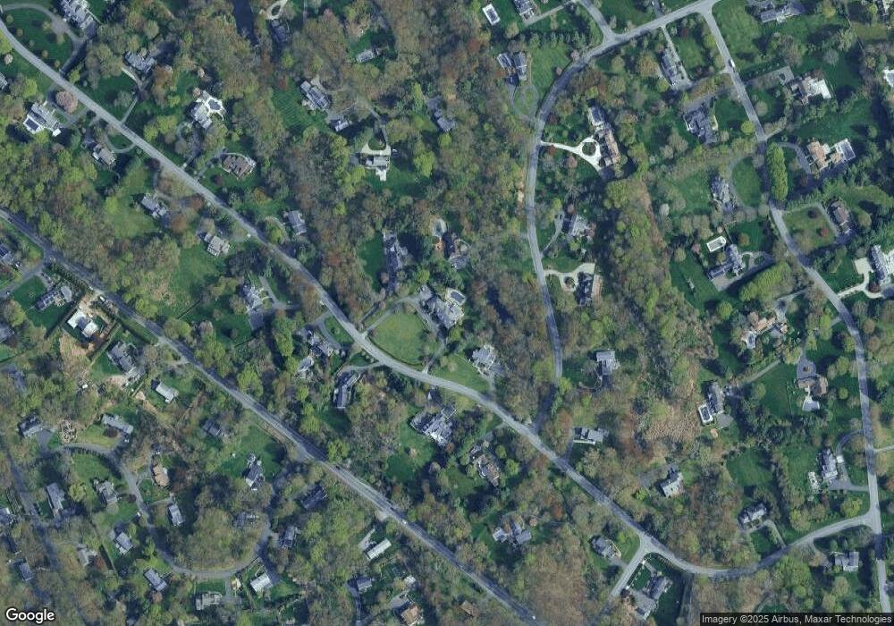
Map
Nearby Homes
- 63 Middle Ridge Rd
- 152 Long Lots Rd
- 515 Carter St
- 12 Lincoln Dr
- 339 Old Norwalk Rd
- 38 Fitch Ln
- 31 Selleck Place
- 250 Carter St
- 184 Marvin Ridge Rd
- 59 Snowberry Ln
- 216 White Oak Shade Rd
- 234 Marvin Ridge Rd
- 44 Putnam Rd
- 140L Carter St
- 180 Summer St
- 289 New Norwalk Rd Unit 22
- 158L Carter St
- 136L Carter St
- 152L Carter St
- 48 Silver Ridge Rd
- 169 Hoyt Farm Rd
- 56 Long Lots Rd
- 127 Hoyt Farm Rd
- 0 Hoyt Farm Rd Unit 135677
- 152 Hoyt Farm Rd
- 126 Hoyt Farm Rd
- 162 Hoyt Farm Rd
- 193 Hoyt Farm Rd
- 409 Hoyt Farm Rd
- 106 Hoyt Farm Rd
- 411 Hoyt Farm Rd
- 37 Long Lots Rd
- 188 Hoyt Farm Rd
- 57 Long Lots Rd
- 19 Long Lots Rd
- 105 Shaker Rd
- 91 Hoyt Farm Rd
- 104 Shaker Rd
- 86 Hoyt Farm Rd
- 213 Hoyt Farm Rd