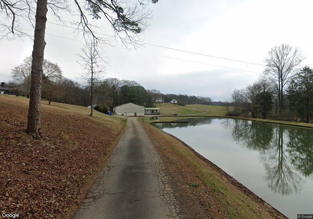
139 Jacks Dr Pickens, SC 29671
Estimated Value: $297,688 - $687,000
3
Beds
3
Baths
3,692
Sq Ft
$132/Sq Ft
Est. Value
About This Home
This home is located at 139 Jacks Dr, Pickens, SC 29671 and is currently estimated at $487,422, approximately $132 per square foot. 139 Jacks Dr is a home located in Pickens County with nearby schools including Hagood Elementary School, Pickens Middle School, and Pickens High School.
Ownership History
Date
Name
Owned For
Owner Type
Purchase Details
Closed on
Jul 28, 2022
Sold by
Jacks Linda H
Bought by
Jacks Austin C and Jacks Ashton N
Current Estimated Value
Home Financials for this Owner
Home Financials are based on the most recent Mortgage that was taken out on this home.
Original Mortgage
$231,400
Outstanding Balance
$207,536
Interest Rate
5.78%
Mortgage Type
New Conventional
Estimated Equity
$279,886
Create a Home Valuation Report for This Property
The Home Valuation Report is an in-depth analysis detailing your home's value as well as a comparison with similar homes in the area
Home Values in the Area
Average Home Value in this Area
Purchase History
| Date | Buyer | Sale Price | Title Company |
|---|---|---|---|
| Jacks Austin C | $180,000 | Dunn Perry Ray | |
| Jacks Austin C | $180,000 | None Listed On Document |
Source: Public Records
Mortgage History
| Date | Status | Borrower | Loan Amount |
|---|---|---|---|
| Open | Jacks Austin C | $231,400 | |
| Closed | Jacks Austin C | $231,400 |
Source: Public Records
Tax History
| Year | Tax Paid | Tax Assessment Tax Assessment Total Assessment is a certain percentage of the fair market value that is determined by local assessors to be the total taxable value of land and additions on the property. | Land | Improvement |
|---|---|---|---|---|
| 2025 | $1,342 | $12,122 | $372 | $11,750 |
| 2024 | $1,342 | $10,542 | $322 | $10,220 |
| 2023 | $1,271 | $10,542 | $322 | $10,220 |
| 2022 | $1,274 | $10,542 | $322 | $10,220 |
| 2021 | $1,283 | $10,542 | $322 | $10,220 |
| 2020 | $967 | $10,542 | $322 | $10,220 |
| 2019 | $984 | $10,542 | $322 | $10,220 |
| 2018 | $916 | $14,812 | $602 | $14,210 |
| 2017 | $885 | $9,872 | $402 | $9,470 |
| 2015 | $887 | $9,880 | $0 | $0 |
Source: Public Records
Map
Nearby Homes
- 2015 Walhalla Hwy
- 117 B Hunter Rd
- 155 Ferguson Rd
- 445 Brandy Ln
- 208 Pilgrim Cir
- 00 6 Mile Mountain Rd
- 2704 Walhalla Hwy
- 242 Vera Holliday Rd
- 07 Concord Church Rd Unit 7
- 02 Concord Church Rd Unit 2
- 07 Concord Church Rd
- 03 Concord Church Rd
- 0 Concord Church Rd
- 03 Concord Church Rd Unit 3
- 02 Concord Church Rd
- 121 Bridgewater Rd
- 181 Yvonne Dr
- 00 Duncan Rd
- 00 Beulah Land Way
- 000 Six-Mile Hwy Unit Tract C
- 119 Jacks Dr
- 184 Rolling Green Rd
- 121 Jacks Farm Dr
- 117 Rolling Green Rd
- 168 Homestead Rd
- 221 Rolling Green Rd
- 212 Autumn Dr
- 118 Rolling Green Rd
- 240 Autumn Dr
- 103 Rolling Green Rd
- 115 Jacks Farm Rd
- 125 Homestead Rd
- 2101 Walhalla Hwy
- 203 Autumn Dr
- 130 Autumn Dr
- 199 Autumn Dr
- 165 Autumn Dr
- 2070 Walhalla Hwy
- 102 Bryant Ln
- 150 Homestead Rd
Your Personal Tour Guide
Ask me questions while you tour the home.