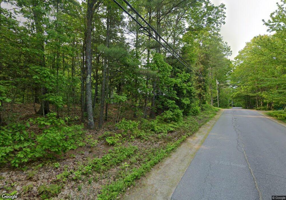
139 Lewis Hill Rd Bowdoin, ME 04287
Estimated Value: $409,000 - $420,203
3
Beds
1
Bath
1,612
Sq Ft
$258/Sq Ft
Est. Value
About This Home
This home is located at 139 Lewis Hill Rd, Bowdoin, ME 04287 and is currently estimated at $416,051, approximately $258 per square foot. 139 Lewis Hill Rd is a home with nearby schools including Mt Ararat High School.
Ownership History
Date
Name
Owned For
Owner Type
Purchase Details
Closed on
Jan 26, 2024
Sold by
Giggey Thomas H and Giggey Jean T
Current Estimated Value
Create a Home Valuation Report for This Property
The Home Valuation Report is an in-depth analysis detailing your home's value as well as a comparison with similar homes in the area
Home Values in the Area
Average Home Value in this Area
Purchase History
| Date | Buyer | Sale Price | Title Company |
|---|---|---|---|
| -- | -- | None Available | |
| -- | -- | None Available |
Source: Public Records
Tax History Compared to Growth
Tax History
| Year | Tax Paid | Tax Assessment Tax Assessment Total Assessment is a certain percentage of the fair market value that is determined by local assessors to be the total taxable value of land and additions on the property. | Land | Improvement |
|---|---|---|---|---|
| 2025 | $4,406 | $413,700 | $96,600 | $317,100 |
| 2024 | $4,013 | $413,700 | $96,600 | $317,100 |
| 2023 | $3,005 | $165,100 | $50,200 | $114,900 |
| 2022 | $2,918 | $172,660 | $50,160 | $122,500 |
| 2021 | $2,968 | $178,790 | $50,160 | $128,630 |
| 2020 | $2,861 | $178,790 | $50,160 | $128,630 |
| 2019 | $2,825 | $178,790 | $50,160 | $128,630 |
| 2018 | $2,700 | $178,790 | $50,160 | $128,630 |
| 2017 | $2,682 | $178,790 | $50,160 | $128,630 |
| 2016 | $2,628 | $178,790 | $50,160 | $128,630 |
| 2015 | $2,610 | $178,790 | $50,160 | $128,630 |
| 2014 | $2,485 | $178,790 | $50,160 | $128,630 |
| 2013 | $2,324 | $178,790 | $50,160 | $128,630 |
Source: Public Records
Map
Nearby Homes
- 36.5 Acres Augusta Rd
- 1338 Meadow Rd
- 45A-A Hornbeck Cross
- 51 Mountain View Cir
- 25 Litchfield Rd
- 19 Spear Dr
- 24 Stone Ridge Ln
- 83 Hemlock Hill Ln
- 144 Keay Rd
- 1146 Post Rd
- 744 Ridge Rd
- 286 John Tarr Rd
- 215 Ward Rd
- 219 Dead River Rd
- Lot 14 Dead River Rd
- 17 Dickey Ln
- 17 Chestnut Dr
- 31 Samsons' Way
- 45A-C Augusta Rd
- 45A-B Augusta Rd
- 149 Lewis Hill Rd
- 138 Lewis Hill Rd
- 155 Lewis Hill Rd
- 120 Lewis Hill Rd
- 140 Lewis Hill Rd
- 160 Lewis Hill Rd
- 103 Lewis Hill Rd
- 170 Lewis Hill Rd
- 116 Lewis Hill Rd
- 186 Lewis Hill Rd
- 108 Lewis Hill Rd
- 197 Lewis Hill Rd
- 81 Lewis Hill Rd
- 81 A Lewis Hill
- 82 Lewis Hill Rd
- 94 Lewis Hill Rd
- 202 Lewis Hill Rd
- 12A Gowells Dr
- 12 Gowells Dr
- 215 Lewis Hill Rd
