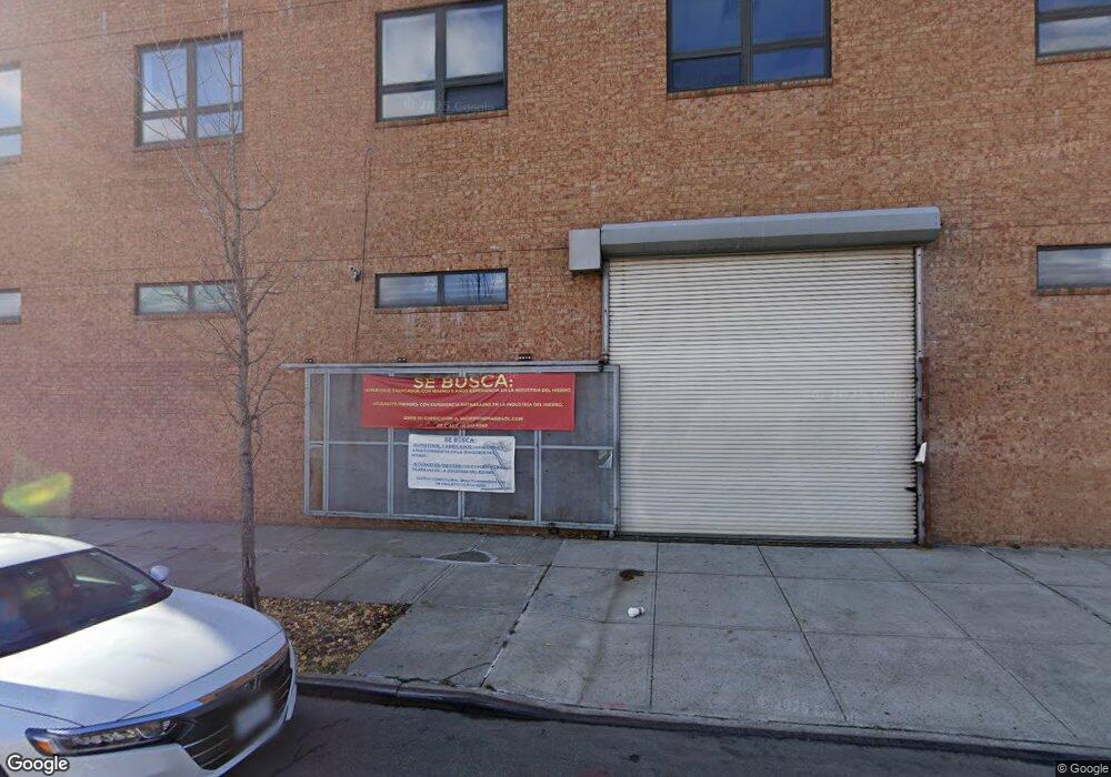
139 Liberty Ave Brooklyn, NY 11212
Brownsville Neighborhood
--
Bed
--
Bath
3,572
Sq Ft
1,873
Sq Ft Lot
About This Home
This home is located at 139 Liberty Ave, Brooklyn, NY 11212. 139 Liberty Ave is a home located in Kings County with nearby schools including P.S. 150 - Christopher, P.S. Is 155 Nicholas Herkimer, and P.S. 178 Saint Clair Mckelway.
Ownership History
Date
Name
Owned For
Owner Type
Purchase Details
Closed on
Sep 7, 2010
Sold by
Asu Davitrie and Asu Rameshwar S
Bought by
Davi Asu Llc
Home Financials for this Owner
Home Financials are based on the most recent Mortgage that was taken out on this home.
Original Mortgage
$1,300,000
Outstanding Balance
$855,375
Interest Rate
4.37%
Mortgage Type
Commercial
Purchase Details
Closed on
Jun 15, 2004
Sold by
Chasam Sofer Llc
Bought by
Asu Davitrie and Asu Rameshwar S
Purchase Details
Closed on
Dec 30, 2003
Sold by
Sgarlato Esq Richard J
Bought by
Chasam Sofer Llc
Create a Home Valuation Report for This Property
The Home Valuation Report is an in-depth analysis detailing your home's value as well as a comparison with similar homes in the area
Home Values in the Area
Average Home Value in this Area
Purchase History
| Date | Buyer | Sale Price | Title Company |
|---|---|---|---|
| Davi Asu Llc | -- | -- | |
| Asu Davitrie | $90,000 | -- | |
| Chasam Sofer Llc | $53,856 | -- |
Source: Public Records
Mortgage History
| Date | Status | Borrower | Loan Amount |
|---|---|---|---|
| Open | Davi Asu Llc | $1,300,000 |
Source: Public Records
Tax History Compared to Growth
Tax History
| Year | Tax Paid | Tax Assessment Tax Assessment Total Assessment is a certain percentage of the fair market value that is determined by local assessors to be the total taxable value of land and additions on the property. | Land | Improvement |
|---|---|---|---|---|
| 2025 | $5,081 | $143,100 | $29,700 | $113,400 |
| 2024 | $5,081 | $128,700 | $29,700 | $99,000 |
| 2023 | $4,283 | $121,500 | $29,700 | $91,800 |
| 2022 | $2,857 | $111,150 | $29,700 | $81,450 |
| 2021 | $3,176 | $90,000 | $29,700 | $60,300 |
| 2020 | $62 | $121,500 | $29,700 | $91,800 |
| 2019 | $3,123 | $121,500 | $29,700 | $91,800 |
| 2018 | $3,123 | $100,350 | $29,700 | $70,650 |
| 2017 | $3,123 | $98,100 | $29,700 | $68,400 |
| 2016 | $3,140 | $88,200 | $29,700 | $58,500 |
| 2015 | $2,212 | $86,400 | $29,700 | $56,700 |
| 2014 | $2,212 | $81,900 | $29,700 | $52,200 |
Source: Public Records
Map
Nearby Homes
- 1719 E New York Ave
- 2358 Pacific St
- 2370 Atlantic Ave
- 22 Hinsdale St
- 1782 Pitkin Ave
- 45 Hinsdale St
- 105 Belmont Ave
- 101 Belmont Ave
- 90 Sackman St
- 117 Osborn St
- 2349 Dean St
- 2337 Dean St
- 2297 Pacific St
- 2294 Atlantic Ave
- 1451 Herkimer St
- 343 Rockaway Ave
- 27 Monaco Place
- 2284 Atlantic Ave
- 2226 Pacific St
- 225 Rockaway Ave
- 137 Liberty Ave
- 135 Liberty Ave
- 50 Powell St
- 141 Liberty Ave
- 48 Powell St
- 44 Powell St
- 191 Sackman St
- 123 Liberty Ave
- 131 Liberty Ave
- 189 Sackman St
- 140 Liberty Ave
- 140 Liberty Ave Unit 2
- 140 Liberty Ave Unit 1
- 142 Liberty Ave
- 142 Liberty Ave
- 138 Liberty Ave
- 138 Liberty Ave
- 144 Liberty Ave
- 40 Powell St
- 136 Liberty Ave