139 Lindbergh Cir Albrightsville, PA 18210
Estimated Value: $325,000 - $470,000
6
Beds
3
Baths
2,848
Sq Ft
$149/Sq Ft
Est. Value
About This Home
This home is located at 139 Lindbergh Cir, Albrightsville, PA 18210 and is currently estimated at $423,430, approximately $148 per square foot. 139 Lindbergh Cir is a home located in Carbon County with nearby schools including Jim Thorpe Area High School.
Ownership History
Date
Name
Owned For
Owner Type
Purchase Details
Closed on
Oct 7, 2020
Sold by
Coombe Michael P and Coombe Kimberly
Bought by
139 Lindbergh Circle Llc
Current Estimated Value
Purchase Details
Closed on
Sep 17, 2013
Sold by
Mehan Andrew A and Porreca John A
Bought by
Coombe Michael P and Coombe Kimberly
Home Financials for this Owner
Home Financials are based on the most recent Mortgage that was taken out on this home.
Original Mortgage
$240,000
Interest Rate
4.42%
Mortgage Type
Purchase Money Mortgage
Purchase Details
Closed on
Sep 10, 2010
Sold by
Porreca John and Mehan Daniel J
Bought by
Porreca John and Mehan Andrew A
Home Financials for this Owner
Home Financials are based on the most recent Mortgage that was taken out on this home.
Original Mortgage
$80,000
Interest Rate
4.51%
Mortgage Type
New Conventional
Create a Home Valuation Report for This Property
The Home Valuation Report is an in-depth analysis detailing your home's value as well as a comparison with similar homes in the area
Home Values in the Area
Average Home Value in this Area
Purchase History
| Date | Buyer | Sale Price | Title Company |
|---|---|---|---|
| 139 Lindbergh Circle Llc | $265,000 | E & E Settlement Inc | |
| Coombe Michael P | $320,000 | None Available | |
| Porreca John | $81,872 | Stewart Title Guaranty Co-Pa |
Source: Public Records
Mortgage History
| Date | Status | Borrower | Loan Amount |
|---|---|---|---|
| Previous Owner | Coombe Michael P | $240,000 | |
| Previous Owner | Porreca John | $80,000 |
Source: Public Records
Tax History Compared to Growth
Tax History
| Year | Tax Paid | Tax Assessment Tax Assessment Total Assessment is a certain percentage of the fair market value that is determined by local assessors to be the total taxable value of land and additions on the property. | Land | Improvement |
|---|---|---|---|---|
| 2025 | $3,962 | $64,400 | $3,950 | $60,450 |
| 2024 | $3,769 | $64,400 | $3,950 | $60,450 |
| 2023 | $3,720 | $64,400 | $3,950 | $60,450 |
| 2022 | $3,720 | $64,400 | $3,950 | $60,450 |
| 2021 | $3,720 | $64,400 | $3,950 | $60,450 |
| 2020 | $3,720 | $64,400 | $3,950 | $60,450 |
| 2019 | $3,592 | $64,400 | $3,950 | $60,450 |
| 2018 | $3,592 | $64,400 | $3,950 | $60,450 |
| 2017 | $3,592 | $64,400 | $3,950 | $60,450 |
| 2016 | -- | $64,400 | $3,950 | $60,450 |
| 2015 | -- | $64,400 | $3,950 | $60,450 |
| 2014 | -- | $64,400 | $3,950 | $60,450 |
Source: Public Records
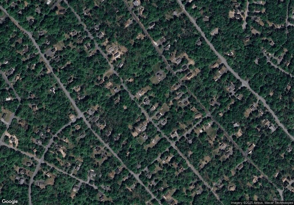
Map
Nearby Homes
- 94 Markham Way
- 26 Nathan Way
- 91 Markham Way
- 187 MacCauley Rd
- D2122 Lindbergh Cir
- 618 S Old Stage Rd
- 620 S Old Stage Rd
- D1777 Lindbergh Cir
- D1778 Lindbergh Cir
- 150 Penn Forest Trail
- 0 Parker Mew
- 39 Berryman Ln
- 1907 Penn Forest Trail
- 91 Penn Forest Trail
- 644 Old Stage Rd
- 644 S Old Stage Rd
- D1939 Wylie Cir
- 1939 Wylie Cir
- 82 Lindbergh Cir
- D2040 Stony Mountain Rd
- 143 Lindbergh Cir
- 135 Lindbergh Cir
- 1982 Lindbergh Cir
- 1967 Lindbergh Cir
- 145 Lindbergh Cir
- 146 Lindbergh Cir
- 129 Lindbergh Cir
- 149 Lindbergh Cir
- 162 Wylie Cir
- 1978 Lindbergh Cir
- 148 Lindbergh Cir
- 166 Wylie Cir
- 134 Lindbergh Cir
- 1987 Lindbergh Cir
- 1962 Lindbergh Cir
- 132 Lindbergh Cir
- D1959 Lindbergh Cir
- 152 Lindbergh Cir
- 168 Wylie Cir
- 1976 Lindbergh Cir