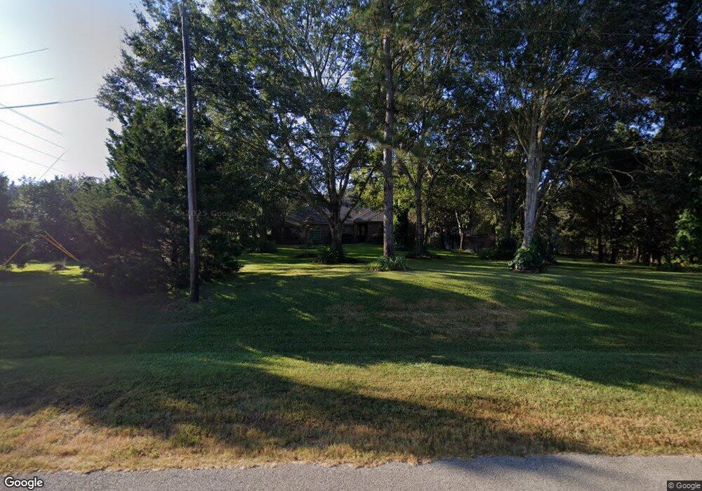
139 Lyndsey Dr Montgomery, TX 77316
Estimated Value: $690,000 - $897,144
3
Beds
3
Baths
2,315
Sq Ft
$329/Sq Ft
Est. Value
About This Home
This home is located at 139 Lyndsey Dr, Montgomery, TX 77316 and is currently estimated at $762,536, approximately $329 per square foot. 139 Lyndsey Dr is a home located in Montgomery County with nearby schools including Stewart Elementary School, Peet Junior High School, and Conroe High School.
Ownership History
Date
Name
Owned For
Owner Type
Purchase Details
Closed on
Apr 13, 2006
Sold by
Atkinson Wallace C and Atkinson Lisa K
Bought by
Lunceford Jony and Falkenhagen Margaret A
Current Estimated Value
Home Financials for this Owner
Home Financials are based on the most recent Mortgage that was taken out on this home.
Original Mortgage
$205,500
Outstanding Balance
$117,137
Interest Rate
6.22%
Mortgage Type
Fannie Mae Freddie Mac
Estimated Equity
$645,399
Purchase Details
Closed on
Jun 26, 2001
Sold by
Willis Martell R and Willis Sharon D
Bought by
Ebco Land Development Ltd
Create a Home Valuation Report for This Property
The Home Valuation Report is an in-depth analysis detailing your home's value as well as a comparison with similar homes in the area
Home Values in the Area
Average Home Value in this Area
Purchase History
| Date | Buyer | Sale Price | Title Company |
|---|---|---|---|
| Lunceford Jony | -- | Chicago Title Insurance Co | |
| Ebco Land Development Ltd | -- | First American Title |
Source: Public Records
Mortgage History
| Date | Status | Borrower | Loan Amount |
|---|---|---|---|
| Open | Lunceford Jony | $205,500 |
Source: Public Records
Tax History Compared to Growth
Tax History
| Year | Tax Paid | Tax Assessment Tax Assessment Total Assessment is a certain percentage of the fair market value that is determined by local assessors to be the total taxable value of land and additions on the property. | Land | Improvement |
|---|---|---|---|---|
| 2025 | $4,572 | $695,314 | -- | -- |
| 2024 | $4,579 | $632,104 | -- | -- |
| 2023 | $4,579 | $574,640 | $524,600 | $405,720 |
| 2022 | $9,125 | $522,400 | $327,350 | $406,270 |
| 2021 | $8,780 | $474,910 | $209,840 | $283,150 |
| 2020 | $8,394 | $431,740 | $209,840 | $246,680 |
| 2019 | $7,906 | $392,490 | $157,380 | $235,110 |
| 2018 | $6,726 | $392,990 | $157,380 | $235,610 |
| 2017 | $8,048 | $398,610 | $157,380 | $241,230 |
| 2016 | $7,528 | $372,850 | $157,380 | $215,470 |
| 2015 | $322 | $47,460 | $47,460 | $0 |
| 2014 | $322 | $15,820 | $15,820 | $0 |
Source: Public Records
Map
Nearby Homes
- 141 Lyndsey Dr
- 132 Lyndsey Dr
- 306 Fish Creek Thoroughfare
- 408 Trace Way Dr
- 10287 Wanda Ln
- 10253 Wanda Ln
- 106 Ebner Lake Front Dr
- 9003 Forest Lake Ct
- 7415 Honea Egypt Rd
- 103 Fish Creek Ln
- 102 Forest Wind Ct
- 8633 Honea Egypt Rd
- L21 Rolling Oak
- 508 Nautica Ln
- 2280 Mccaleb Rd
- 9024 Water Crest Ct
- 8912 Forest Lake Dr
- 331 E Coralburst Loop
- 120 W Coralburst Loop
- 116 W Coralburst Loop
- 136 Lyndsey Dr
- 135 Lyndsey Dr
- 129 Leah Dr
- 127 Leah Dr
- 143 Lyndsey Dr
- Lot 31 Lyndsey Dr
- LOT 14 Lyndsey Dr
- L-35 Lyndsey Dr
- L-36 Lyndsey Dr
- LT 31 Lyndsey Dr
- 25 Lyndsey Dr
- LT 30 Lyndsey Dr
- Lot 26 Lyndsey Dr
- Lot 24 Lyndsey Dr
- L30-31 Lyndsey Dr
- LT30-2 Lyndsey Dr
- Lt29-32 Lyndsey Dr
- LT 32 Lyndsey Dr
- 174 Lyndsey Dr
- 124 Lyndsey Dr