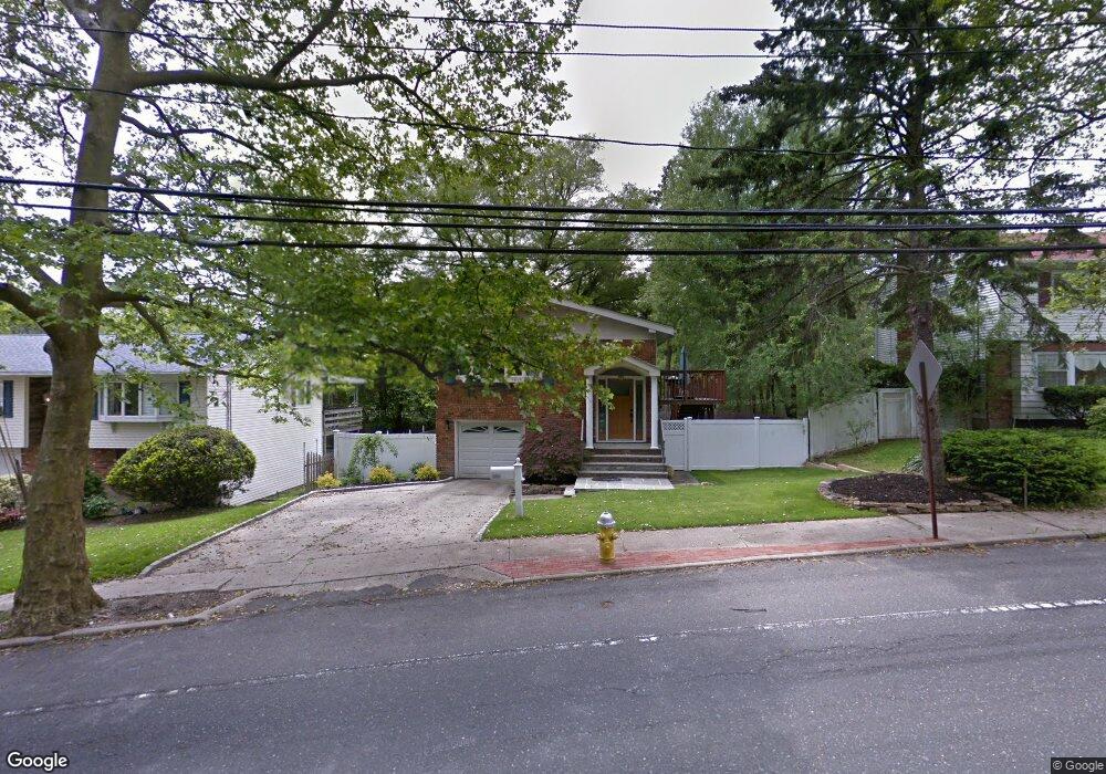
139 Mckay Rd Huntington Station, NY 11746
Estimated Value: $663,209 - $707,000
4
Beds
2
Baths
--
Sq Ft
5,663
Sq Ft Lot
About This Home
This home is located at 139 Mckay Rd, Huntington Station, NY 11746 and is currently estimated at $691,802. 139 Mckay Rd is a home located in Suffolk County with nearby schools including Jefferson Primary School, Woodhull Intermediate School, and J Taylor Finley Middle School.
Ownership History
Date
Name
Owned For
Owner Type
Purchase Details
Closed on
Apr 1, 2014
Sold by
Dimarco Christine and Ramirez Carols
Bought by
Poppenwimer Brian R
Current Estimated Value
Home Financials for this Owner
Home Financials are based on the most recent Mortgage that was taken out on this home.
Original Mortgage
$255,200
Outstanding Balance
$193,927
Interest Rate
4.33%
Mortgage Type
New Conventional
Estimated Equity
$497,875
Purchase Details
Closed on
Feb 27, 2012
Sold by
Dimarco Christine
Bought by
Dimarco Christine and Ramirez Carlos
Purchase Details
Closed on
Apr 13, 2010
Sold by
Ramirez Carlos
Bought by
Dimarco Christine
Purchase Details
Closed on
Feb 9, 1996
Sold by
Kaiser Edward E and Kaiser Helen V
Bought by
Ramirez Carlos
Create a Home Valuation Report for This Property
The Home Valuation Report is an in-depth analysis detailing your home's value as well as a comparison with similar homes in the area
Home Values in the Area
Average Home Value in this Area
Purchase History
| Date | Buyer | Sale Price | Title Company |
|---|---|---|---|
| Poppenwimer Brian R | $329,000 | -- | |
| Dimarco Christine | -- | Best Abstract | |
| Dimarco Christine | -- | -- | |
| Ramirez Carlos | $130,000 | Chicago Title Insurance Co |
Source: Public Records
Mortgage History
| Date | Status | Borrower | Loan Amount |
|---|---|---|---|
| Open | Poppenwimer Brian R | $255,200 |
Source: Public Records
Tax History Compared to Growth
Tax History
| Year | Tax Paid | Tax Assessment Tax Assessment Total Assessment is a certain percentage of the fair market value that is determined by local assessors to be the total taxable value of land and additions on the property. | Land | Improvement |
|---|---|---|---|---|
| 2024 | $9,444 | $2,450 | $250 | $2,200 |
| 2023 | $4,722 | $2,450 | $250 | $2,200 |
| 2022 | $9,388 | $2,450 | $250 | $2,200 |
| 2021 | $9,301 | $2,450 | $250 | $2,200 |
| 2020 | $9,198 | $2,450 | $250 | $2,200 |
| 2019 | $18,396 | $0 | $0 | $0 |
| 2018 | $8,743 | $2,450 | $250 | $2,200 |
| 2017 | $8,743 | $2,450 | $250 | $2,200 |
| 2016 | $8,633 | $2,450 | $250 | $2,200 |
| 2015 | -- | $2,450 | $250 | $2,200 |
| 2014 | -- | $2,450 | $250 | $2,200 |
Source: Public Records
Map
Nearby Homes
- 12 Terrace Dr
- 137 Columbia St
- 11 Horizon Ct
- 5 Waywood Place
- 49 Tower St
- 0 Tower St
- 128 Winding St
- 92 Columbia St
- 237 Oakwood Rd
- 43 Columbia St
- 269 W Pulaski Rd
- 11 Edcris Ln
- 24 Columbia St
- 35 Semon Rd
- 200 Lowndes Ave Unit A
- 280 Lowndes Ave Unit 111G
- 280 Lowndes Ave Unit 305G
- 280 Lowndes Ave Unit 208
- 62 Lowndes Ave
- 18 Maple Place