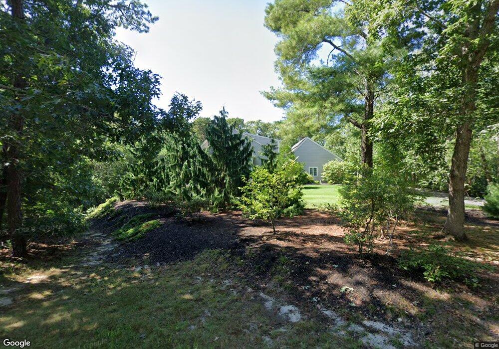
139 Merchant Ave Yarmouth Port, MA 2675
Yarmouth Port NeighborhoodEstimated Value: $1,119,000 - $1,935,000
4
Beds
3
Baths
3,031
Sq Ft
$478/Sq Ft
Est. Value
About This Home
This home is located at 139 Merchant Ave, Yarmouth Port, MA 2675 and is currently estimated at $1,449,179, approximately $478 per square foot. 139 Merchant Ave is a home located in Barnstable County with nearby schools including Dennis-Yarmouth Regional High School and St. Pius X. School.
Ownership History
Date
Name
Owned For
Owner Type
Purchase Details
Closed on
Jan 26, 2012
Sold by
Gegenwarth Richard E
Bought by
Gegenwarth Richard E and Swenson Marilyn C
Current Estimated Value
Purchase Details
Closed on
Jul 24, 1985
Bought by
Gegenwarth Richard E and Swenson Marilyn C
Create a Home Valuation Report for This Property
The Home Valuation Report is an in-depth analysis detailing your home's value as well as a comparison with similar homes in the area
Home Values in the Area
Average Home Value in this Area
Purchase History
| Date | Buyer | Sale Price | Title Company |
|---|---|---|---|
| Gegenwarth Richard E | -- | -- | |
| Gegenwarth Richard E | -- | -- |
Source: Public Records
Tax History Compared to Growth
Tax History
| Year | Tax Paid | Tax Assessment Tax Assessment Total Assessment is a certain percentage of the fair market value that is determined by local assessors to be the total taxable value of land and additions on the property. | Land | Improvement |
|---|---|---|---|---|
| 2025 | $9,494 | $1,340,900 | $284,600 | $1,056,300 |
| 2024 | $9,152 | $1,240,100 | $272,800 | $967,300 |
| 2023 | $9,326 | $1,149,900 | $248,300 | $901,600 |
| 2022 | $7,676 | $836,200 | $198,500 | $637,700 |
| 2021 | $7,029 | $735,200 | $213,500 | $521,700 |
| 2020 | $7,282 | $728,200 | $229,700 | $498,500 |
| 2019 | $7,363 | $686,400 | $229,700 | $456,700 |
| 2018 | $6,958 | $676,200 | $219,500 | $456,700 |
| 2017 | $7,106 | $676,200 | $219,500 | $456,700 |
| 2016 | $6,748 | $676,200 | $219,500 | $456,700 |
| 2015 | $7,545 | $751,500 | $219,500 | $532,000 |
Source: Public Records
Map
Nearby Homes
- 15 Follins Pond Rd
- 118 Driftwood Ln
- 24 Greenland Cir
- 60 Covey Dr
- 315 Mayfair Rd
- 344 Mayfair Rd
- 4 Old Colony Way
- 56 S Yarmouth Rd
- 14 Many Oaks Cir
- 2 Buttercup Ln
- 15 Alexander Dr
- 1 Winsome Rd
- 59 Main St Unit 41-1
- 59 Route 6a Unit 29-4
- 59 Route 6a Unit U9-2
- 46 Winsome Rd
- 15 Sallys Way
- 37 Winsome Rd
- 121 S Yarmouth Rd
- 27 Merchant Ave
- 24 Merchant Ave
- 0 Merchant Ave
- 150 Merchant Ave
- 129 Merchant Ave
- 144 Merchant Ave
- 338 N Dennis Rd
- 136 Merchant Ave
- 346 N Dennis Rd
- 334 N Dennis Rd
- 314 N Dennis Rd
- 150 Merchant Ave
- 352 N Dennis Rd
- 130 Merchant Ave
- 62 Merchant Ave
- 70 Merchant Ave
- 80 Merchant Ave
- 158 Merchant Ave
- 121 Merchant Ave
- 56 Merchant Ave