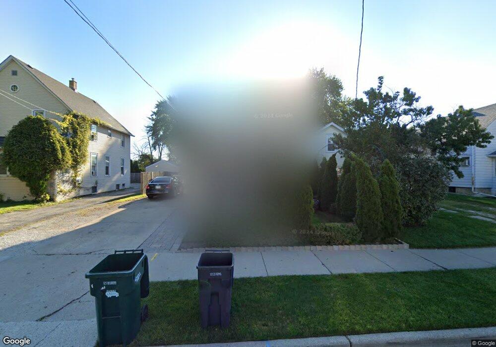
139 N Butrick St Waukegan, IL 60085
Cornelia Manor NeighborhoodEstimated Value: $207,000 - $234,000
2
Beds
3
Baths
1,242
Sq Ft
$175/Sq Ft
Est. Value
About This Home
This home is located at 139 N Butrick St, Waukegan, IL 60085 and is currently estimated at $217,202, approximately $174 per square foot. 139 N Butrick St is a home located in Lake County with nearby schools including Hyde Park Elementary School, Miguel Juarez Middle School, and Waukegan High School.
Ownership History
Date
Name
Owned For
Owner Type
Purchase Details
Closed on
Jun 9, 2010
Sold by
Hsbc Bank Usa National Association
Bought by
Delarosa Andres
Current Estimated Value
Purchase Details
Closed on
Jan 26, 2010
Sold by
Barrera Reina and Case #08 Ch 03109
Bought by
Hsbc Bank Usa National Association
Purchase Details
Closed on
Jun 20, 2003
Sold by
Prado Mayra C and Trust #2001-1
Bought by
Barrera Reina
Purchase Details
Closed on
Dec 11, 2002
Sold by
Wong Lee Karl Shu and Wong Lee Mary
Bought by
Prado Jacid C
Create a Home Valuation Report for This Property
The Home Valuation Report is an in-depth analysis detailing your home's value as well as a comparison with similar homes in the area
Home Values in the Area
Average Home Value in this Area
Purchase History
| Date | Buyer | Sale Price | Title Company |
|---|---|---|---|
| Delarosa Andres | $50,000 | Servicelink Hopewell Campus | |
| Hsbc Bank Usa National Association | -- | None Available | |
| Barrera Reina | $45,000 | None Available | |
| Prado Jacid C | $45,000 | -- |
Source: Public Records
Tax History Compared to Growth
Tax History
| Year | Tax Paid | Tax Assessment Tax Assessment Total Assessment is a certain percentage of the fair market value that is determined by local assessors to be the total taxable value of land and additions on the property. | Land | Improvement |
|---|---|---|---|---|
| 2024 | $3,640 | $52,055 | $7,686 | $44,369 |
| 2023 | $3,249 | $46,605 | $6,881 | $39,724 |
| 2022 | $3,249 | $39,237 | $6,273 | $32,964 |
| 2021 | $3,057 | $35,324 | $5,910 | $29,414 |
| 2020 | $3,050 | $32,909 | $5,506 | $27,403 |
| 2019 | $3,017 | $30,155 | $5,045 | $25,110 |
| 2018 | $2,560 | $26,179 | $5,950 | $20,229 |
| 2017 | $2,459 | $23,161 | $5,264 | $17,897 |
| 2016 | $2,183 | $20,126 | $4,574 | $15,552 |
| 2015 | $2,029 | $18,013 | $4,094 | $13,919 |
| 2014 | $1,100 | $12,700 | $3,577 | $9,123 |
| 2012 | $1,080 | $13,760 | $3,876 | $9,884 |
Source: Public Records
Map
Nearby Homes
- 1416 Hamilton Ct
- 132 Dorchester Ct
- 1527 Brookside Ave
- 306 Oak Crest St
- 1521 Catalpa Ave
- 1820 Jenkinson Ct
- 613 Washington St
- 619 N Butrick St
- 511 Chestnut St
- 428 N Poplar St
- 557 W Water St
- 522 N Poplar St
- 443 N Ash St
- 215 S Park Ave
- 613 Clarke Ave
- 702 Franklin St
- 305 Besley Place
- 446 S Jackson St
- 408 Besley Place
- 426 Julian St
- 143 N Butrick St
- 135 N Butrick St
- 133 N Butrick St
- 131 N Butrick St
- 1312 W Cornelia Ave
- 1318 W Cornelia Ave
- 1318 W Cornelia Ave
- 127 N Butrick St
- 144 N Butrick St
- 148 N Butrick St
- 128 N Butrick St
- 126 N Butrick St
- 119 N Butrick St
- 136 N Butrick St
- 1413 Jenkinson Ct
- 204 N Butrick St
- 115 N Butrick St
- 1408 W Cornelia Ave
- 1311 W Cornelia Ave
- 42 Jefferson Ave