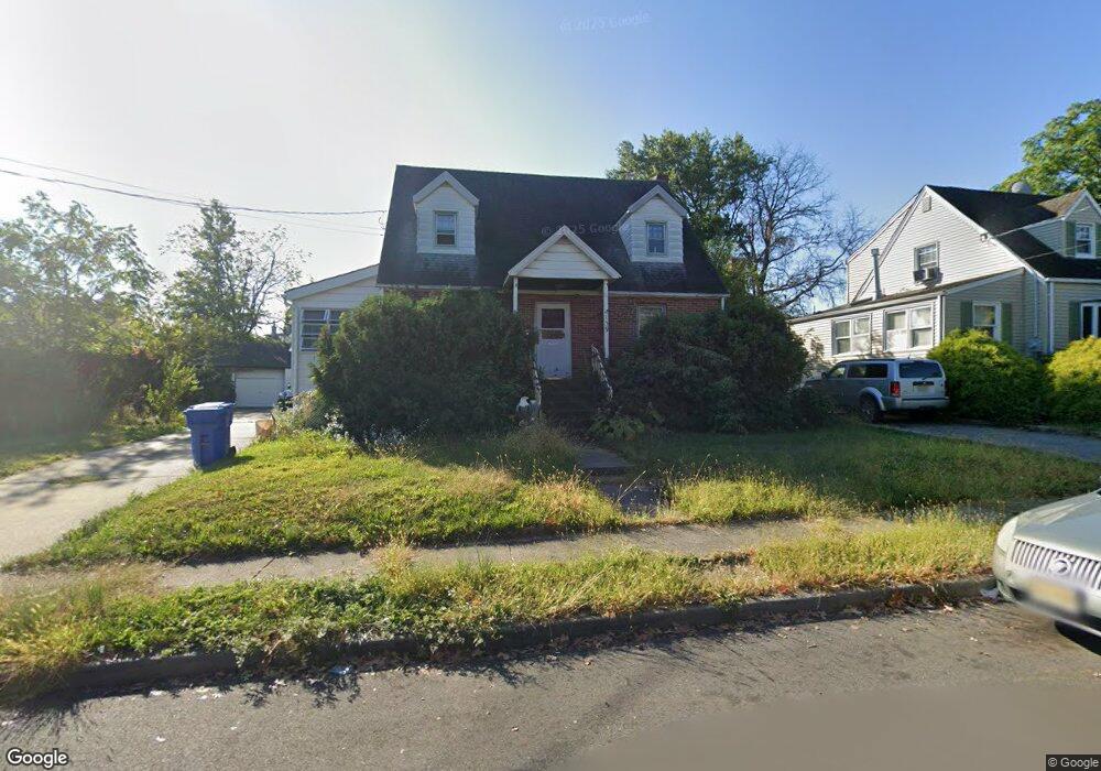
139 N James St Woodbridge, NJ 07095
Estimated Value: $389,014 - $500,000
--
Bed
--
Bath
1,008
Sq Ft
$451/Sq Ft
Est. Value
About This Home
This home is located at 139 N James St, Woodbridge, NJ 07095 and is currently estimated at $454,754, approximately $451 per square foot. 139 N James St is a home located in Middlesex County with nearby schools including Ross Street Elementary School, Woodbridge Middle School, and Woodbridge High School.
Ownership History
Date
Name
Owned For
Owner Type
Purchase Details
Closed on
Dec 17, 2015
Sold by
Palmer Lewis
Bought by
Pastor Stephen and Pastor Christine
Current Estimated Value
Home Financials for this Owner
Home Financials are based on the most recent Mortgage that was taken out on this home.
Original Mortgage
$214,910
Interest Rate
4.4%
Mortgage Type
FHA
Purchase Details
Closed on
Jan 11, 1994
Sold by
Gadek Suzann
Bought by
Frontera Gloria
Purchase Details
Closed on
Apr 24, 1986
Bought by
Barsi Helen
Create a Home Valuation Report for This Property
The Home Valuation Report is an in-depth analysis detailing your home's value as well as a comparison with similar homes in the area
Home Values in the Area
Average Home Value in this Area
Purchase History
| Date | Buyer | Sale Price | Title Company |
|---|---|---|---|
| Pastor Stephen | $218,875 | None Available | |
| Frontera Gloria | $162,000 | -- | |
| Barsi Helen | -- | -- |
Source: Public Records
Mortgage History
| Date | Status | Borrower | Loan Amount |
|---|---|---|---|
| Previous Owner | Pastor Stephen | $214,910 |
Source: Public Records
Tax History Compared to Growth
Tax History
| Year | Tax Paid | Tax Assessment Tax Assessment Total Assessment is a certain percentage of the fair market value that is determined by local assessors to be the total taxable value of land and additions on the property. | Land | Improvement |
|---|---|---|---|---|
| 2025 | $11,072 | $81,800 | $29,200 | $52,600 |
| 2024 | $10,798 | $81,800 | $29,200 | $52,600 |
| 2023 | $10,798 | $81,800 | $29,200 | $52,600 |
| 2022 | $10,140 | $81,800 | $29,200 | $52,600 |
| 2021 | $10,035 | $81,800 | $29,200 | $52,600 |
| 2020 | $9,705 | $81,800 | $29,200 | $52,600 |
| 2019 | $9,459 | $81,800 | $29,200 | $52,600 |
| 2018 | $9,210 | $81,800 | $29,200 | $52,600 |
| 2017 | $9,024 | $81,800 | $29,200 | $52,600 |
| 2016 | $8,938 | $81,800 | $29,200 | $52,600 |
| 2015 | $8,512 | $81,800 | $29,200 | $52,600 |
| 2014 | $8,304 | $81,800 | $29,200 | $52,600 |
Source: Public Records
Map
Nearby Homes
- 2 Metuchen Ave
- 341 Grady Dr
- 65 Green St
- 191 Sherry St
- 55 Metuchen Ave
- 62 Green St
- 355 Oak Ave
- 152 Bunns Ln
- 200 Mawbey St
- 325 Regency Place Unit 325
- 585 Noe Ave
- 13 Lillian Terrace
- 218 Church St
- 13 Melbourne Ct
- 315-319 Mawbey St
- 315 Mawbey St Unit 319
- 541 Lyman Ave
- 110 Church St
- 14 Seymour Ave
- 634 Saint Georges Ave
- 143 N James St
- 401 E Middlesex Ave
- 142 N James St
- 407 E Middlesex Ave
- 151 Brighton St
- 411 E Middlesex Ave
- 150 Main St
- 153 Brighton St
- 150 Brighton St
- 392 Elmwood Ave
- 396 Elmwood Ave
- 416 E Middlesex Ave
- 390 Elmwood Ave
- 392 Amboy Ave
- 415 E Middlesex Ave
- 152 Brighton St
- 122 Main St Unit 3
- 418 E Middlesex Ave
- 17 Lil Terrace
- 0 Any St Unit 2411083R