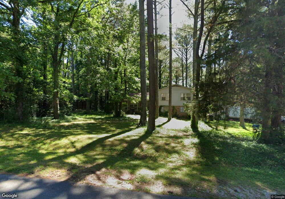
139 Oldwood Rd Huntsville, AL 35811
Ryland NeighborhoodEstimated Value: $273,352 - $294,000
--
Bed
--
Bath
1,950
Sq Ft
$145/Sq Ft
Est. Value
About This Home
This home is located at 139 Oldwood Rd, Huntsville, AL 35811 and is currently estimated at $283,588, approximately $145 per square foot. 139 Oldwood Rd is a home with nearby schools including Mt Carmel Elementary School, Riverton Intermediate School, and Buckhorn Middle School.
Ownership History
Date
Name
Owned For
Owner Type
Purchase Details
Closed on
Oct 7, 2019
Sold by
Shafer Heather
Bought by
Anderson Gerald Jerome
Current Estimated Value
Purchase Details
Closed on
Oct 29, 2007
Sold by
Estate Of Daryl Layne Reasor
Bought by
Reasor Dara L and Anderson Gerald Jerome
Home Financials for this Owner
Home Financials are based on the most recent Mortgage that was taken out on this home.
Original Mortgage
$143,500
Interest Rate
6.26%
Mortgage Type
Purchase Money Mortgage
Create a Home Valuation Report for This Property
The Home Valuation Report is an in-depth analysis detailing your home's value as well as a comparison with similar homes in the area
Home Values in the Area
Average Home Value in this Area
Purchase History
| Date | Buyer | Sale Price | Title Company |
|---|---|---|---|
| Anderson Gerald Jerome | -- | Valley Ttl & Closing Svcs Ll | |
| Reasor Dara L | -- | -- |
Source: Public Records
Mortgage History
| Date | Status | Borrower | Loan Amount |
|---|---|---|---|
| Previous Owner | Reasor Dara L | $143,500 |
Source: Public Records
Tax History Compared to Growth
Tax History
| Year | Tax Paid | Tax Assessment Tax Assessment Total Assessment is a certain percentage of the fair market value that is determined by local assessors to be the total taxable value of land and additions on the property. | Land | Improvement |
|---|---|---|---|---|
| 2024 | $849 | $24,120 | $3,300 | $20,820 |
| 2023 | $822 | $24,120 | $3,300 | $20,820 |
| 2022 | $733 | $21,660 | $3,300 | $18,360 |
| 2021 | $668 | $19,900 | $3,300 | $16,600 |
| 2020 | $580 | $17,410 | $2,470 | $14,940 |
| 2019 | $561 | $16,870 | $2,470 | $14,400 |
| 2018 | $534 | $16,160 | $0 | $0 |
| 2017 | $520 | $15,760 | $0 | $0 |
| 2016 | $520 | $15,760 | $0 | $0 |
| 2015 | $520 | $15,760 | $0 | $0 |
| 2014 | $514 | $15,600 | $0 | $0 |
Source: Public Records
Map
Nearby Homes
- .73 Acres Highway 72 E
- 109 Oldwood Rd
- 510 Old Gurley Rd NE
- 0 Old Gurley Rd NE Unit 24957018
- 86+ Acres Jordan Rd
- 204 Paca Ln
- 228 Exeter St
- 232 Exeter St
- 300 Pond Spring Dr
- 301 Pond Spring Dr
- 303 Pond Spring Dr
- 230 Exeter St
- 206 Antler Ridge Dr
- 232 Antler Ridge Dr
- 108 Brookes Landing Dr
- 106 Shields Lake Dr
- Lincoln Pennington Ave
- 2387 Highway 72 E
- 208 Townsend Dr SE
- 3.8 Acres Townsend Dr SE