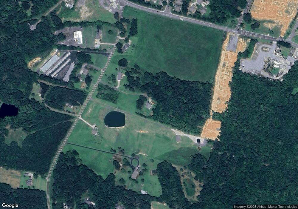
139 Patrick Rd Gastonia, NC 28056
Estimated Value: $489,000 - $544,136
3
Beds
2
Baths
2,150
Sq Ft
$239/Sq Ft
Est. Value
About This Home
This home is located at 139 Patrick Rd, Gastonia, NC 28056 and is currently estimated at $513,034, approximately $238 per square foot. 139 Patrick Rd is a home located in Gaston County with nearby schools including W.A. Bess Elementary School, Cramerton Middle School, and Forestview High School.
Ownership History
Date
Name
Owned For
Owner Type
Purchase Details
Closed on
May 19, 2010
Sold by
Federal National Mortgage Association
Bought by
Cook Aaron
Current Estimated Value
Home Financials for this Owner
Home Financials are based on the most recent Mortgage that was taken out on this home.
Original Mortgage
$142,974
Outstanding Balance
$95,170
Interest Rate
4.91%
Mortgage Type
FHA
Estimated Equity
$417,864
Purchase Details
Closed on
Jul 27, 2009
Sold by
Glenn Kevin J and Glenn Stacy C
Bought by
Federal National Mortgage Association
Create a Home Valuation Report for This Property
The Home Valuation Report is an in-depth analysis detailing your home's value as well as a comparison with similar homes in the area
Home Values in the Area
Average Home Value in this Area
Purchase History
| Date | Buyer | Sale Price | Title Company |
|---|---|---|---|
| Cook Aaron | -- | None Available | |
| Federal National Mortgage Association | $194,808 | None Available |
Source: Public Records
Mortgage History
| Date | Status | Borrower | Loan Amount |
|---|---|---|---|
| Open | Cook Aaron | $142,974 |
Source: Public Records
Tax History Compared to Growth
Tax History
| Year | Tax Paid | Tax Assessment Tax Assessment Total Assessment is a certain percentage of the fair market value that is determined by local assessors to be the total taxable value of land and additions on the property. | Land | Improvement |
|---|---|---|---|---|
| 2025 | $3,584 | $501,930 | $33,890 | $468,040 |
| 2024 | $3,584 | $501,930 | $33,890 | $468,040 |
| 2023 | $3,488 | $501,930 | $33,890 | $468,040 |
| 2022 | $2,930 | $318,480 | $23,170 | $295,310 |
| 2021 | $2,885 | $318,480 | $23,170 | $295,310 |
| 2020 | $2,850 | $318,480 | $23,170 | $295,310 |
| 2019 | $210 | $406,950 | $23,170 | $383,780 |
| 2018 | $1,737 | $183,384 | $23,197 | $160,187 |
| 2017 | $1,737 | $183,384 | $23,197 | $160,187 |
| 2016 | $1,737 | $183,384 | $0 | $0 |
| 2014 | $1,774 | $189,317 | $27,225 | $162,092 |
Source: Public Records
Map
Nearby Homes
- 140 Patrick Rd
- 913 Harper Rd
- 1019 Carmel Dr
- 105 L Harwell Rd
- 530 Wilmot Trail
- 182 Meek Rd
- 1613 Stone Pine Dr
- 2518 Cove Creek Dr
- 2409 Woodleigh Dr
- 7245 Yardley St
- 7239 Yardley St
- 7233 Yardley St
- 7221 Yardley St
- 5217 Waterfall Ct
- 7232 Yardley St
- 7226 Yardley St
- 9505 Cotswood Place
- 301 Woodbriar Trail
- 9009 Myrna Dr
- 1504 Baileys Run
- 132 Patrick Rd Unit 2
- 121 Patrick Rd
- 147 Patrick Rd
- 136 Patrick Rd
- 213 Patrick Rd
- 118 Patrick Rd
- 1263 Dorchester Rd
- 1269 Dorchester Rd
- 4025 High Cliff Ct
- 4017 High Cliff Ct
- 5500 Union Rd
- 5073 Timberline Ln
- 152 Patrick Rd
- 4009 High Cliff Ct
- 1259 Dorchester Rd
- 1259 Dorchester Rd Unit 3
- 5024 Eagle Crest Ln
- 5080 Timberline Ln
- 1275 Dorchester Rd
- 4001 High Cliff Ct
