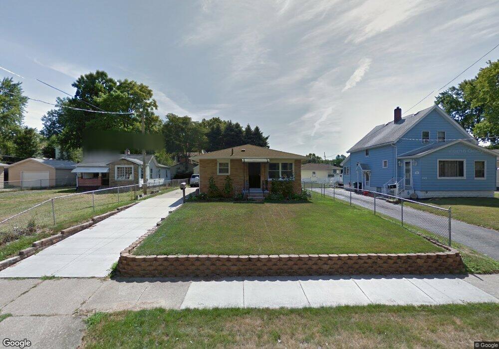
139 Pauline Ave Akron, OH 44312
Ellet NeighborhoodEstimated Value: $159,954 - $191,000
3
Beds
2
Baths
1,144
Sq Ft
$152/Sq Ft
Est. Value
About This Home
This home is located at 139 Pauline Ave, Akron, OH 44312 and is currently estimated at $174,239, approximately $152 per square foot. 139 Pauline Ave is a home located in Summit County with nearby schools including Ellet High School, Summit Academy Akron Elementary School, and Hatton Community Learning Center.
Ownership History
Date
Name
Owned For
Owner Type
Purchase Details
Closed on
Sep 23, 2009
Sold by
Pfahler Anthony Victor and Pfahler Lori
Bought by
Thompson Robert P
Current Estimated Value
Home Financials for this Owner
Home Financials are based on the most recent Mortgage that was taken out on this home.
Original Mortgage
$91,575
Outstanding Balance
$60,465
Interest Rate
5.38%
Mortgage Type
FHA
Estimated Equity
$113,774
Create a Home Valuation Report for This Property
The Home Valuation Report is an in-depth analysis detailing your home's value as well as a comparison with similar homes in the area
Home Values in the Area
Average Home Value in this Area
Purchase History
| Date | Buyer | Sale Price | Title Company |
|---|---|---|---|
| Thompson Robert P | $100,000 | Abby Title |
Source: Public Records
Mortgage History
| Date | Status | Borrower | Loan Amount |
|---|---|---|---|
| Open | Thompson Robert P | $91,575 |
Source: Public Records
Tax History Compared to Growth
Tax History
| Year | Tax Paid | Tax Assessment Tax Assessment Total Assessment is a certain percentage of the fair market value that is determined by local assessors to be the total taxable value of land and additions on the property. | Land | Improvement |
|---|---|---|---|---|
| 2025 | $2,435 | $45,763 | $8,169 | $37,594 |
| 2024 | $2,435 | $45,763 | $8,169 | $37,594 |
| 2023 | $2,435 | $45,763 | $8,169 | $37,594 |
| 2022 | $2,463 | $36,407 | $6,433 | $29,974 |
| 2021 | $2,465 | $36,407 | $6,433 | $29,974 |
| 2020 | $2,428 | $36,400 | $6,430 | $29,970 |
| 2019 | $2,109 | $28,550 | $7,190 | $21,360 |
| 2018 | $2,081 | $28,550 | $7,190 | $21,360 |
| 2017 | $2,114 | $28,550 | $7,190 | $21,360 |
| 2016 | $2,116 | $28,550 | $7,190 | $21,360 |
| 2015 | $2,114 | $28,550 | $7,190 | $21,360 |
| 2014 | $2,097 | $28,550 | $7,190 | $21,360 |
| 2013 | $2,318 | $32,390 | $7,190 | $25,200 |
Source: Public Records
Map
Nearby Homes
- 2863 Burnside St
- 6 Kreiner Ave
- 5 Kreiner Ave
- 47 Kreiner Ave
- 117 Kreiner Ave
- 256 High Grove Blvd
- 0 Kreiner Ave
- 307 Pauline Ave
- 2948 Trenton Rd
- 412 Stevenson Ave
- 179 Davenport Ave
- 379 Stull Ave
- 440 Wirth Ave
- 423 Stetler Ave
- 490 Stevenson Ave
- 544 Dennison Ave
- 48 Marion Ave
- 218 Canton Rd
- V/L Marion Ave
- 2528 Ogden Ave
- 145 Pauline Ave
- 135 Pauline Ave
- 149 Pauline Ave
- 129 Pauline Ave
- 126 Stull Ave
- 120 Stull Ave
- 155 Pauline Ave
- 125 Pauline Ave
- 132 Stull Ave
- 114 Stull Ave
- 2882 Berne St
- 110 Stull Ave
- 159 Pauline Ave
- 119 Pauline Ave
- 142 Stull Ave
- 126 Pauline Ave
- 106 Stull Ave
- 102 Stull Ave
- 165 Pauline Ave
- 111 Pauline Ave