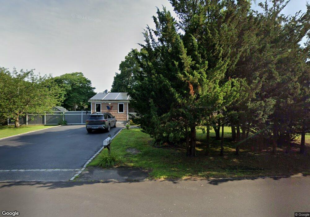
139 Pawnee Ave Mastic, NY 11950
Estimated Value: $448,305 - $522,000
3
Beds
1
Bath
1,070
Sq Ft
$446/Sq Ft
Est. Value
About This Home
This home is located at 139 Pawnee Ave, Mastic, NY 11950 and is currently estimated at $477,076, approximately $445 per square foot. 139 Pawnee Ave is a home located in Suffolk County with nearby schools including Nathaniel Woodhull Elementary School, William Floyd Middle School, and William Floyd High School.
Ownership History
Date
Name
Owned For
Owner Type
Purchase Details
Closed on
Aug 14, 2018
Sold by
Plattman Christine R and Plattman Miles O
Bought by
Plattman Miles O
Current Estimated Value
Home Financials for this Owner
Home Financials are based on the most recent Mortgage that was taken out on this home.
Original Mortgage
$253,085
Interest Rate
4.6%
Mortgage Type
New Conventional
Purchase Details
Closed on
Feb 25, 1998
Sold by
Gerlin Theresa I and Gerlin Ronald E
Bought by
Plattman Christine R and Plattman Myles O
Home Financials for this Owner
Home Financials are based on the most recent Mortgage that was taken out on this home.
Original Mortgage
$3,000
Interest Rate
6.93%
Create a Home Valuation Report for This Property
The Home Valuation Report is an in-depth analysis detailing your home's value as well as a comparison with similar homes in the area
Home Values in the Area
Average Home Value in this Area
Purchase History
| Date | Buyer | Sale Price | Title Company |
|---|---|---|---|
| Plattman Miles O | -- | -- | |
| Plattman Christine R | $107,500 | First American Title Ins Co |
Source: Public Records
Mortgage History
| Date | Status | Borrower | Loan Amount |
|---|---|---|---|
| Previous Owner | Plattman Miles O | $253,085 | |
| Previous Owner | Plattman Christine R | $3,000 |
Source: Public Records
Tax History
| Year | Tax Paid | Tax Assessment Tax Assessment Total Assessment is a certain percentage of the fair market value that is determined by local assessors to be the total taxable value of land and additions on the property. | Land | Improvement |
|---|---|---|---|---|
| 2024 | $5,333 | $1,620 | $200 | $1,420 |
| 2023 | $5,333 | $1,620 | $200 | $1,420 |
| 2022 | $5,467 | $1,620 | $200 | $1,420 |
| 2021 | $5,467 | $1,620 | $200 | $1,420 |
| 2020 | $5,634 | $1,620 | $200 | $1,420 |
| 2019 | $5,634 | $0 | $0 | $0 |
| 2018 | $5,371 | $1,620 | $200 | $1,420 |
| 2017 | $5,371 | $1,620 | $200 | $1,420 |
| 2016 | $5,376 | $1,620 | $200 | $1,420 |
| 2015 | -- | $1,620 | $200 | $1,420 |
| 2014 | -- | $1,620 | $200 | $1,420 |
Source: Public Records
Map
Nearby Homes
- 23 Jeanatta Ave
- 120 Somerset Ave
- 143 Hawthorne St
- VL Jeanatta Ave
- 0 Neptune Ave
- VL Meadowmere Ave
- 154 Meadowmere Ave
- 78 Eleanor Ave
- 92 Southaven Ave
- 89 Market St
- 93 Market St
- 77 Market St
- 118 Moriches Ave
- 35 Strafford St
- 145A Hampton Ave
- 84 Riviera Dr
- 196 Church Dr
- 175 Main Ave
- VL Mastic Blvd
- 16 Market St
- 39 Robinwood St
- 788 Mastic Rd
- 45 Robinwood St
- V/Land Robinwood St
- 35 Robinwood St
- 135 Pawnee Ave
- 36 Robinwood St
- 150 Pawnee Ave
- 46 Robinwood St
- 49 Robinwood St
- 34 Robinwood St
- 151 Pawnee Ave
- 31 Robinwood St
- 3 Coventry Ave
- 131 Pawnee Ave
- 48 Robinwood St
- 156 Roberts St
- 154 Pawnee Ave
- 7 Coventry Ave
- 126 Pawnee Ave
Your Personal Tour Guide
Ask me questions while you tour the home.