139 Pearson Ct Lowell, MI 49331
Estimated Value: $488,000 - $780,000
Studio
2
Baths
1,834
Sq Ft
$335/Sq Ft
Est. Value
About This Home
This home is located at 139 Pearson Ct, Lowell, MI 49331 and is currently estimated at $614,245, approximately $334 per square foot. 139 Pearson Ct is a home located in Kent County with nearby schools including Murray Lake Elementary School, Lowell Middle School, and Lowell Senior High School.
Ownership History
Date
Name
Owned For
Owner Type
Purchase Details
Closed on
May 16, 2016
Sold by
Southland Alan R and Southland Karen J
Bought by
Flora J Bishop Trust
Current Estimated Value
Purchase Details
Closed on
Jan 11, 1996
Bought by
Southland Alan R and Southland Alan R
Purchase Details
Closed on
Feb 28, 1995
Create a Home Valuation Report for This Property
The Home Valuation Report is an in-depth analysis detailing your home's value as well as a comparison with similar homes in the area
Home Values in the Area
Average Home Value in this Area
Purchase History
We collect this data history from publicly available records. To have your information removed, we recommend requesting removal directly through your county’s website.
| Date | Buyer | Sale Price | Title Company |
|---|---|---|---|
| Flora J Bishop Trust | $370,000 | None Available | |
| Southland Alan R | $34,900 | -- | |
| -- | -- | -- |
Source: Public Records
Tax History
| Year | Tax Paid | Tax Assessment Tax Assessment Total Assessment is a certain percentage of the fair market value that is determined by local assessors to be the total taxable value of land and additions on the property. | Land | Improvement |
|---|---|---|---|---|
| 2025 | $6,737 | $273,400 | $0 | $0 |
| 2024 | $67 | $257,800 | $0 | $0 |
| 2023 | $6,446 | $239,100 | $0 | $0 |
| 2022 | $9,525 | $214,100 | $0 | $0 |
| 2021 | $9,323 | $216,400 | $0 | $0 |
| 2020 | $5,864 | $214,700 | $0 | $0 |
| 2019 | $9,040 | $190,000 | $0 | $0 |
| 2018 | $5,557 | $186,400 | $0 | $0 |
| 2017 | $5,488 | $146,300 | $0 | $0 |
| 2016 | $3,460 | $130,400 | $0 | $0 |
| 2015 | -- | $130,400 | $0 | $0 |
| 2013 | -- | $132,900 | $0 | $0 |
Source: Public Records
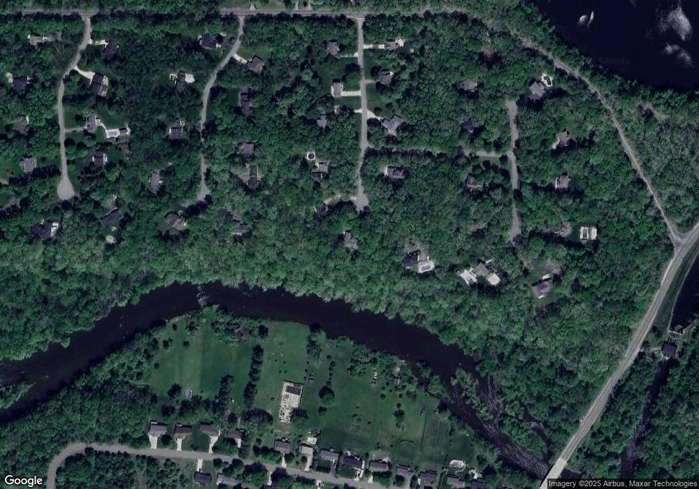
Map
Nearby Homes
- 879 Flat River Ct SE
- 13164 Beckwith Dr NE
- 102 Sagamore Trail SE
- 13875 Rolling Creek Dr
- 846 Lincoln Lake Ave SE
- 14111 Thompson Dr NE
- 12069 Alden Ct NE Unit Lot 13
- 12449 Bailey Dr NE
- 792 Godfrey St SE
- 1197 Godfrey St SE
- 806 Grindle Dr SE
- 527 N Monroe St
- 555 Foreman St SE
- 722 N Hudson St SE
- 851 Harvest Home Ct
- 220 King St Unit 10
- 529 Avery St
- 12068 Harvest Acre Dr SE
- 424 Lincoln Lake
- 111 N Jefferson St
- 127 Pearson Ct
- 140 Pearson Ct
- 126 Pearson Ct
- 112 Pearson Ct
- 99 Pearson Ct
- 0 N Montcalm Ave Unit 65016049575
- Lot #11 NE Alden Woods Dr
- 31 NE Calob Crt
- 0 N Montcalm Ave Unit M14066751
- 0 N Montcalm Ave Unit M15047625
- 0 N Montcalm Ave Unit M16049575
- 4633 Tiffany
- 11353 B Hawks Landing
- 4616 White Pine Dr
- 11353 C Hawks Landing
- 11353-C Hawks Landing
- 1 Amazon
- 7579 Medinah Dr
- 1705 Whites Bridge
- 3 Alden Ridge
Your Personal Tour Guide
Ask me questions while you tour the home.