139 Pleasant Hill Rd Harmony, PA 16037
Lancaster Township NeighborhoodEstimated Value: $106,032 - $476,000
3
Beds
1
Bath
1,008
Sq Ft
$311/Sq Ft
Est. Value
About This Home
This home is located at 139 Pleasant Hill Rd, Harmony, PA 16037 and is currently estimated at $313,258, approximately $310 per square foot. 139 Pleasant Hill Rd is a home located in Butler County with nearby schools including Connoquenessing Valley Elementary School, Evans City Middle School, and Ryan Gloyer Middle School.
Ownership History
Date
Name
Owned For
Owner Type
Purchase Details
Closed on
Oct 23, 2015
Sold by
Neil Theodore M and Neill Linda A
Bought by
Neill Theodore M
Current Estimated Value
Home Financials for this Owner
Home Financials are based on the most recent Mortgage that was taken out on this home.
Original Mortgage
$150,590
Outstanding Balance
$118,483
Interest Rate
3.88%
Mortgage Type
Unknown
Estimated Equity
$194,775
Create a Home Valuation Report for This Property
The Home Valuation Report is an in-depth analysis detailing your home's value as well as a comparison with similar homes in the area
Home Values in the Area
Average Home Value in this Area
Purchase History
| Date | Buyer | Sale Price | Title Company |
|---|---|---|---|
| Neill Theodore M | -- | None Available |
Source: Public Records
Mortgage History
| Date | Status | Borrower | Loan Amount |
|---|---|---|---|
| Open | Neill Theodore M | $150,590 |
Source: Public Records
Tax History Compared to Growth
Tax History
| Year | Tax Paid | Tax Assessment Tax Assessment Total Assessment is a certain percentage of the fair market value that is determined by local assessors to be the total taxable value of land and additions on the property. | Land | Improvement |
|---|---|---|---|---|
| 2025 | $3,481 | $19,540 | $3,810 | $15,730 |
| 2024 | $3,377 | $19,540 | $3,810 | $15,730 |
| 2023 | $3,327 | $19,540 | $3,810 | $15,730 |
| 2022 | $3,327 | $19,540 | $3,810 | $15,730 |
| 2021 | $3,248 | $19,540 | $0 | $0 |
| 2020 | $3,248 | $19,540 | $3,810 | $15,730 |
| 2019 | $3,178 | $19,540 | $3,810 | $15,730 |
| 2018 | $3,178 | $19,540 | $3,810 | $15,730 |
| 2017 | $3,119 | $19,540 | $3,810 | $15,730 |
| 2016 | $793 | $19,540 | $3,810 | $15,730 |
| 2015 | $396 | $19,540 | $3,810 | $15,730 |
| 2014 | $396 | $19,540 | $3,810 | $15,730 |
Source: Public Records
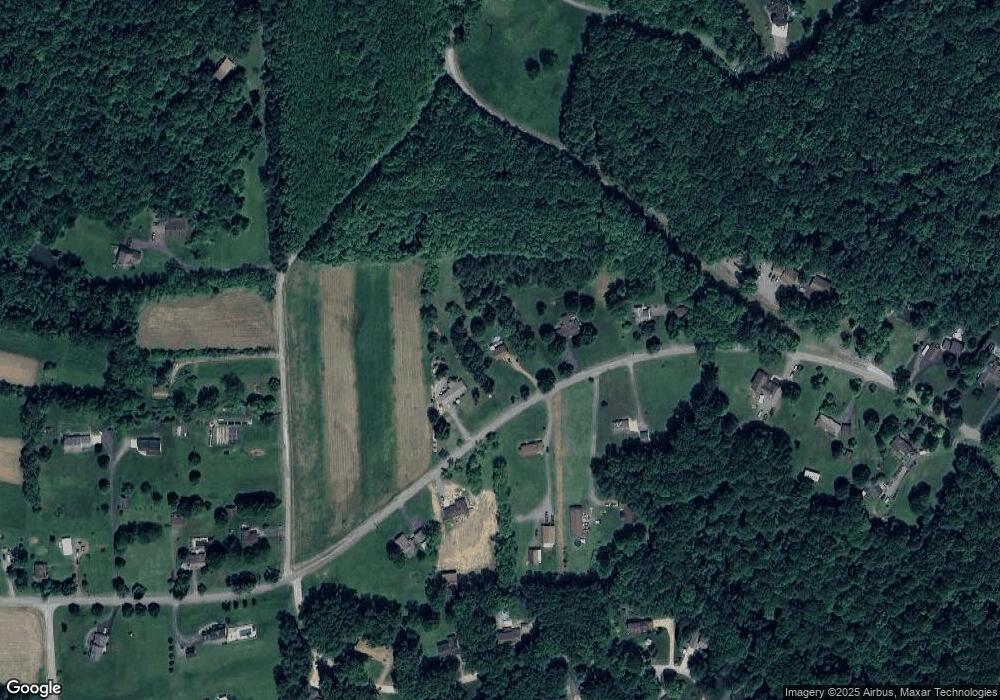
Map
Nearby Homes
- 107 Jennie Dr
- 134 Pfeifer Rd
- 953 Perry Hwy
- 180 Guillard Rd
- 327 Alliance Dr
- 321 Alliance Dr
- 319 Alliance Dr
- 325 Alliance Dr
- 323 Alliance Dr
- 101 Bluestone Ct
- 104 Bluestone Ct
- 111 American School Rd
- 5937 Portersville Rd
- 6656 State Route 488
- 100 Joshua Dr
- 4064 State Route 488
- 530 Perry Hwy
- 199 Lyon Ln
- 126 Thomas Neil Ln
- 1378 Mile Hill Rd
- 143 Pleasant Hill Rd
- 135 Pleasant Hill Rd
- 138 Pleasant Hill Rd
- 132 Pleasant Hill Rd
- 129 Pleasant Hill Rd
- 144 Pleasant Hill Rd
- 134 Pleasant Hill Rd
- 150 Pleasant Hill Rd
- 126 Pleasant Hill Rd
- 107 Red Brush Trail
- 105 Red Brush Trail
- 111 Red Brush Trail
- 161 Pleasant Hill Rd
- Lot #7 Red Brush Trail
- 103 Red Brush Trail
- 105 Dogwood Dr
- 120 Pleasant Hill Rd
- 112 Hufnagel Rd
- 113 Red Brush Trail
- 102 Henry Ln