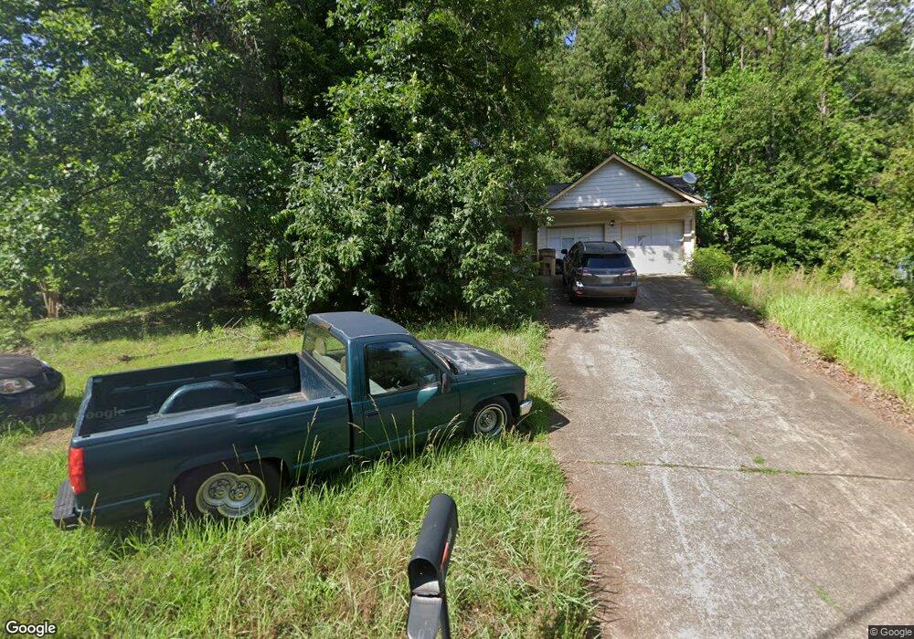
139 River Oaks Dr Unit 2 Woodstock, GA 30188
Union Hill NeighborhoodEstimated Value: $352,395 - $383,000
3
Beds
2
Baths
1,550
Sq Ft
$237/Sq Ft
Est. Value
About This Home
This home is located at 139 River Oaks Dr Unit 2, Woodstock, GA 30188 and is currently estimated at $367,698, approximately $237 per square foot. 139 River Oaks Dr Unit 2 is a home located in Cherokee County with nearby schools including Arnold Mill Elementary School, Mill Creek Middle School, and River Ridge High School.
Ownership History
Date
Name
Owned For
Owner Type
Purchase Details
Closed on
Oct 30, 1997
Sold by
Sanford Thomas A and Sanford Stephanie C
Bought by
Boyadjian Miguel
Current Estimated Value
Home Financials for this Owner
Home Financials are based on the most recent Mortgage that was taken out on this home.
Original Mortgage
$68,000
Outstanding Balance
$10,464
Interest Rate
7.39%
Estimated Equity
$357,234
Create a Home Valuation Report for This Property
The Home Valuation Report is an in-depth analysis detailing your home's value as well as a comparison with similar homes in the area
Home Values in the Area
Average Home Value in this Area
Purchase History
| Date | Buyer | Sale Price | Title Company |
|---|---|---|---|
| Boyadjian Miguel | $85,000 | -- |
Source: Public Records
Mortgage History
| Date | Status | Borrower | Loan Amount |
|---|---|---|---|
| Open | Boyadjian Miguel | $68,000 |
Source: Public Records
Tax History Compared to Growth
Tax History
| Year | Tax Paid | Tax Assessment Tax Assessment Total Assessment is a certain percentage of the fair market value that is determined by local assessors to be the total taxable value of land and additions on the property. | Land | Improvement |
|---|---|---|---|---|
| 2025 | $3,132 | $119,252 | $32,000 | $87,252 |
| 2024 | $2,893 | $111,332 | $30,400 | $80,932 |
| 2023 | $2,853 | $109,772 | $28,800 | $80,972 |
| 2022 | $2,652 | $100,892 | $23,600 | $77,292 |
| 2021 | $2,215 | $78,012 | $18,000 | $60,012 |
| 2020 | $1,943 | $68,372 | $14,000 | $54,372 |
| 2019 | $1,821 | $64,080 | $14,000 | $50,080 |
| 2018 | $1,647 | $57,600 | $14,000 | $43,600 |
| 2017 | $1,586 | $137,600 | $14,000 | $41,040 |
| 2016 | $1,360 | $116,800 | $12,400 | $34,320 |
| 2015 | $1,315 | $111,800 | $12,400 | $32,320 |
| 2014 | $1,200 | $101,800 | $11,600 | $29,120 |
Source: Public Records
Map
Nearby Homes
- 321 Burdock Trace
- 522 Watercress Dr
- 624 Arnold Mill Rd
- 632 Arnold Mill Rd
- 636 Arnold Mill Rd
- 236 Persimmon Dr
- 124 Riverside Ln
- 414 Spring View Dr
- 809 Araya Ct
- 585 Arnold Mill Rd
- 202 Little River Way
- 4006 N Arnold Mill Rd
- 4020 N Arnold Mill Rd
- 114 Neetle Close Dr
- 116 Neetle Close Dr
- 154 Towey Trail
- 436 Silver Brook Dr
- 149 Stone Manor Ct
- 133 Finsbury Ln
- 427 Silver Brook Dr
- 141 River Oaks Dr
- 1502 River Rock Trace
- 1901 Grant Ln
- 1801 River Rock Trail
- 140 River Oaks Dr
- 142 River Oaks Dr
- 143 River Oaks Dr
- 1803 River Rock Trail Unit 2
- 138 River Oaks Dr
- 1903 Grant Ln Unit 2
- 1900 Grant Ln
- 136 River Oaks Dr Unit 2
- 817 Riverstone Ln
- 133 River Oaks Dr
- 825 Riverstone Ln Unit 2
- 144 River Oaks Dr
- 1501 River Rock Trace
- 827 Riverstone Ln Unit 2
- 819 Riverstone Ln
- 819 Riverstone Ln Unit 2