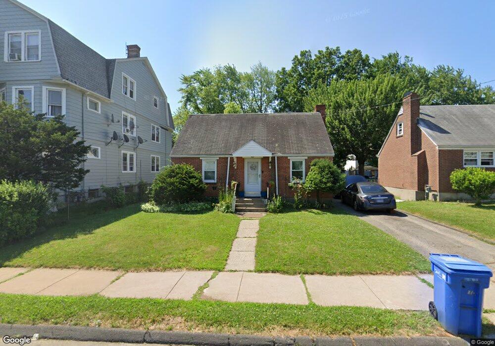
139 Roosevelt St Hartford, CT 06114
South End NeighborhoodEstimated Value: $223,000 - $282,164
3
Beds
1
Bath
1,042
Sq Ft
$242/Sq Ft
Est. Value
About This Home
This home is located at 139 Roosevelt St, Hartford, CT 06114 and is currently estimated at $252,541, approximately $242 per square foot. 139 Roosevelt St is a home located in Hartford County with nearby schools including Asian Studies School At Dwight/Belizzi School, Dr. James H Naylor/Ccsu Leadership Academy, and M. D. Fox School.
Ownership History
Date
Name
Owned For
Owner Type
Purchase Details
Closed on
Aug 25, 2000
Sold by
Department Of Housing & Urban Dev
Bought by
Mack Elverita and Mack Lorenza
Current Estimated Value
Home Financials for this Owner
Home Financials are based on the most recent Mortgage that was taken out on this home.
Original Mortgage
$71,250
Interest Rate
7.74%
Mortgage Type
Purchase Money Mortgage
Create a Home Valuation Report for This Property
The Home Valuation Report is an in-depth analysis detailing your home's value as well as a comparison with similar homes in the area
Home Values in the Area
Average Home Value in this Area
Purchase History
| Date | Buyer | Sale Price | Title Company |
|---|---|---|---|
| Mack Elverita | $75,000 | -- |
Source: Public Records
Mortgage History
| Date | Status | Borrower | Loan Amount |
|---|---|---|---|
| Open | Mack Elverita | $117,000 | |
| Closed | Mack Elverita | $84,000 | |
| Closed | Mack Elverita | $71,250 |
Source: Public Records
Tax History Compared to Growth
Tax History
| Year | Tax Paid | Tax Assessment Tax Assessment Total Assessment is a certain percentage of the fair market value that is determined by local assessors to be the total taxable value of land and additions on the property. | Land | Improvement |
|---|---|---|---|---|
| 2024 | $3,978 | $57,698 | $11,135 | $46,563 |
| 2023 | $3,978 | $57,698 | $11,135 | $46,563 |
| 2022 | $3,978 | $57,697 | $11,135 | $46,562 |
| 2021 | $3,300 | $44,415 | $14,665 | $29,750 |
| 2020 | $3,300 | $44,415 | $14,665 | $29,750 |
| 2019 | $3,300 | $44,415 | $14,665 | $29,750 |
| 2018 | $3,188 | $42,918 | $14,171 | $28,747 |
| 2016 | $3,357 | $45,191 | $13,496 | $31,695 |
| 2015 | $3,357 | $43,044 | $12,855 | $30,189 |
| 2014 | $3,120 | $41,992 | $12,541 | $29,451 |
Source: Public Records
Map
Nearby Homes
- 166 George St
- 71 Hanmer St
- 18 Mclean St Unit 20
- 51 Hanmer St
- 63 Standish St Unit 65
- 839 Wethersfield Ave
- 244 Brown St
- 147 Preston St Unit 1
- 47 Bolton St
- 183 Preston St Unit 185
- 159 Gilman St
- 61 Preston St Unit 63
- 308 Brown St
- 152 Otis St
- 5 Wolcott Hill Rd
- 26 Victoria Rd Unit 28
- 24 Bliss St
- 92 Reed Dr
- 497 Wethersfield Ave
- 35 Clifford St
- 141 Roosevelt St
- 145 Roosevelt St Unit 147
- 41 Fenwick St Unit 43
- 45 Fenwick St Unit 47
- 151 Roosevelt St
- 12 Cowles St
- 30 Dover St
- 20 Cowles St
- 24 Cowles St
- 55 Fenwick St
- 146 Roosevelt St
- 49 Fenwick St Unit 51
- 16 Cowles St Unit 18
- 44 Baldwin St
- 153 Roosevelt St
- 26 Dover St
- 150 Roosevelt St
- 2 Cowles St
- 159 Roosevelt St