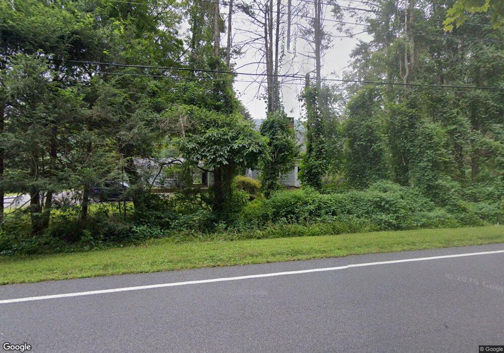
139 S Kent Rd South Kent, CT 06785
Estimated Value: $603,000 - $920,000
3
Beds
4
Baths
2,208
Sq Ft
$349/Sq Ft
Est. Value
About This Home
This home is located at 139 S Kent Rd, South Kent, CT 06785 and is currently estimated at $770,349, approximately $348 per square foot. 139 S Kent Rd is a home located in Litchfield County with nearby schools including Kent Center School, Housatonic Valley Regional High School, and South Kent School.
Ownership History
Date
Name
Owned For
Owner Type
Purchase Details
Closed on
Jan 6, 2010
Sold by
Fink Paul S
Bought by
Fink Victor B
Current Estimated Value
Home Financials for this Owner
Home Financials are based on the most recent Mortgage that was taken out on this home.
Original Mortgage
$522,000
Outstanding Balance
$54,563
Interest Rate
4.78%
Mortgage Type
Purchase Money Mortgage
Estimated Equity
$715,786
Create a Home Valuation Report for This Property
The Home Valuation Report is an in-depth analysis detailing your home's value as well as a comparison with similar homes in the area
Home Values in the Area
Average Home Value in this Area
Purchase History
| Date | Buyer | Sale Price | Title Company |
|---|---|---|---|
| Fink Victor B | $540,000 | -- |
Source: Public Records
Mortgage History
| Date | Status | Borrower | Loan Amount |
|---|---|---|---|
| Open | Fink Victor B | $522,000 |
Source: Public Records
Tax History Compared to Growth
Tax History
| Year | Tax Paid | Tax Assessment Tax Assessment Total Assessment is a certain percentage of the fair market value that is determined by local assessors to be the total taxable value of land and additions on the property. | Land | Improvement |
|---|---|---|---|---|
| 2025 | $8,626 | $511,300 | $203,900 | $307,400 |
| 2024 | $7,971 | $511,300 | $203,900 | $307,400 |
| 2023 | $6,902 | $367,900 | $211,600 | $156,300 |
| 2022 | $6,832 | $367,900 | $211,600 | $156,300 |
| 2021 | $6,832 | $367,900 | $211,600 | $156,300 |
| 2020 | $6,847 | $367,900 | $211,600 | $156,300 |
| 2019 | $6,847 | $367,900 | $211,600 | $156,300 |
| 2018 | $6,698 | $359,900 | $245,200 | $114,700 |
| 2017 | $6,698 | $359,900 | $245,200 | $114,700 |
| 2016 | $6,597 | $359,900 | $245,200 | $114,700 |
| 2015 | $6,428 | $359,900 | $245,200 | $114,700 |
| 2014 | $6,129 | $359,900 | $245,200 | $114,700 |
Source: Public Records
Map
Nearby Homes
- 132 S Kent Rd
- 0 Spooner Hill Rd Unit 24077524
- 103 Geer Mountain Rd
- 00 Camps Flat Rd
- 168 Cobble Rd
- 13 Cobble Heights Rd
- 152 S Kent Rd
- 73 Long River Rd
- 14 SE Mountain Rd
- 42 Long River Rd
- 27 Meadowland Dr
- 60 Long River Rd
- 50 Lake Ellis Rd
- 41 Long River Rd
- 97 Lake Ellis Rd
- 0 Richards Rd Unit 24140078
- 73 Lake Ellis Rd
- 228 Dog Tail Corners Rd
- 34 Front of the Mountain Rd
- 696 Kent Rd
- 0 S Kent Rd
- 18 Highland Rd
- 154 S Kent Rd
- 14 Highland Rd
- 12 Highland Rd
- 19 Highland Rd
- 21 Highland Rd
- 55 Highland Rd
- 158 S Kent Rd
- 32 Highland Rd
- 49 Highland Rd
- 7 Highland Rd
- 0 Spooner Hill Rd Unit L127723
- 0 Spooner Hill Rd Unit L128785
- 0 Spooner Hill Rd Unit L129153
- 0 Spooner Hill Rd Unit L131890
- 0 Spooner Hill Rd Unit L136840
- 0 Spooner Hill Rd Unit L138955
- 0 Spooner Hill Rd Unit L142290
- 116 S Kent Rd