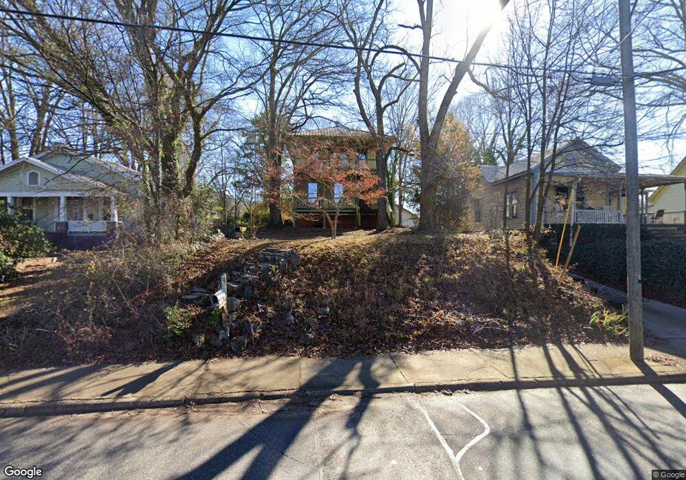
139 S Poplar St Athens, GA 30601
Chicopee-Dudley NeighborhoodEstimated Value: $387,837 - $477,000
4
Beds
3
Baths
1,824
Sq Ft
$242/Sq Ft
Est. Value
About This Home
This home is located at 139 S Poplar St, Athens, GA 30601 and is currently estimated at $440,709, approximately $241 per square foot. 139 S Poplar St is a home located in Clarke County with nearby schools including Gaines Elementary School, Hilsman Middle School, and Cedar Shoals High School.
Ownership History
Date
Name
Owned For
Owner Type
Purchase Details
Closed on
Apr 27, 2007
Sold by
Not Provided
Bought by
Littleton Michael and Juliana Schumacher
Current Estimated Value
Purchase Details
Closed on
Feb 1, 2000
Sold by
Hawkins Robert Lamar
Bought by
Caudill Andrew Todd
Create a Home Valuation Report for This Property
The Home Valuation Report is an in-depth analysis detailing your home's value as well as a comparison with similar homes in the area
Home Values in the Area
Average Home Value in this Area
Purchase History
| Date | Buyer | Sale Price | Title Company |
|---|---|---|---|
| Littleton Michael | $209,000 | -- | |
| Caudill Andrew Todd | -- | -- |
Source: Public Records
Tax History Compared to Growth
Tax History
| Year | Tax Paid | Tax Assessment Tax Assessment Total Assessment is a certain percentage of the fair market value that is determined by local assessors to be the total taxable value of land and additions on the property. | Land | Improvement |
|---|---|---|---|---|
| 2025 | $5,218 | $168,045 | $24,000 | $144,045 |
| 2024 | $4,105 | $131,370 | $24,000 | $107,370 |
| 2023 | $4,105 | $120,961 | $24,000 | $96,961 |
| 2022 | $3,327 | $104,285 | $18,000 | $86,285 |
| 2021 | $3,261 | $96,751 | $18,000 | $78,751 |
| 2020 | $2,992 | $88,782 | $18,000 | $70,782 |
| 2019 | $2,693 | $79,330 | $18,000 | $61,330 |
| 2018 | $2,419 | $71,239 | $17,000 | $54,239 |
| 2017 | $2,372 | $69,876 | $17,000 | $52,876 |
| 2016 | $2,287 | $67,364 | $17,000 | $50,364 |
| 2015 | $2,309 | $67,911 | $17,000 | $50,911 |
| 2014 | $2,331 | $68,459 | $17,000 | $51,459 |
Source: Public Records
Map
Nearby Homes
- 126 S Poplar St
- 132 N Poplar St
- 357 S Peter St
- 225 Oak St Unit LOT 103
- 225 Oak St Unit 104
- 225 Oak St Unit 108
- 1480 E Broad St
- 235 Arch St
- 320 Vine St
- 190 Derby St
- 342 Arch St
- 460 Vine St
- 704 Branch St
- 170 Royal Ct
- 178 First St
- 250 Little St Unit A209
- 250 Little St Unit A 105
- 250 Little St Unit D205
- 145 S Poplar St
- 135 S Poplar St
- 147 S Poplar St
- 220 S Peter St
- 1324 E Broad St
- 1326 E Broad St
- 1392 E Broad St
- 185 S Poplar St
- 0 Peter St Unit 8569956
- 0 Peter St Unit 8875944
- 224 S Peter St
- 142 S Poplar St
- 148 S Poplar St
- 138 S Poplar St
- 1398 E Broad St
- 0 E Broad St Unit CM937701
- 0 E Broad St Unit CM937704
- 0 E Broad St Unit CM942417
- 0 E Broad St Unit CM626556
- 1640 E Broad St