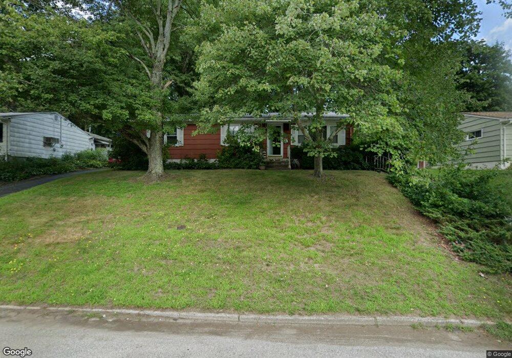
139 Sequoia Rd Bridgeport, CT 06606
North End NeighborhoodEstimated Value: $382,000 - $472,000
3
Beds
1
Bath
1,104
Sq Ft
$380/Sq Ft
Est. Value
About This Home
This home is located at 139 Sequoia Rd, Bridgeport, CT 06606 and is currently estimated at $419,919, approximately $380 per square foot. 139 Sequoia Rd is a home located in Fairfield County with nearby schools including John Winthrop School, Central High School, and St Andrew School.
Ownership History
Date
Name
Owned For
Owner Type
Purchase Details
Closed on
May 2, 2008
Sold by
Mencarelli Robert
Bought by
Mcadoo Jack and Mcadoo Johanne
Current Estimated Value
Home Financials for this Owner
Home Financials are based on the most recent Mortgage that was taken out on this home.
Original Mortgage
$206,657
Outstanding Balance
$131,626
Interest Rate
5.99%
Estimated Equity
$288,293
Create a Home Valuation Report for This Property
The Home Valuation Report is an in-depth analysis detailing your home's value as well as a comparison with similar homes in the area
Home Values in the Area
Average Home Value in this Area
Purchase History
| Date | Buyer | Sale Price | Title Company |
|---|---|---|---|
| Mcadoo Jack | $209,900 | -- | |
| Mcadoo Jack | $209,900 | -- |
Source: Public Records
Mortgage History
| Date | Status | Borrower | Loan Amount |
|---|---|---|---|
| Open | Mcadoo Jack | $206,657 | |
| Closed | Mcadoo Jack | $206,657 |
Source: Public Records
Tax History Compared to Growth
Tax History
| Year | Tax Paid | Tax Assessment Tax Assessment Total Assessment is a certain percentage of the fair market value that is determined by local assessors to be the total taxable value of land and additions on the property. | Land | Improvement |
|---|---|---|---|---|
| 2025 | $5,830 | $134,180 | $79,970 | $54,210 |
| 2024 | $5,830 | $134,180 | $79,970 | $54,210 |
| 2023 | $5,830 | $134,180 | $79,970 | $54,210 |
| 2022 | $5,830 | $134,180 | $79,970 | $54,210 |
| 2021 | $5,830 | $134,180 | $79,970 | $54,210 |
| 2020 | $5,901 | $109,290 | $62,640 | $46,650 |
| 2019 | $5,901 | $109,290 | $62,640 | $46,650 |
| 2018 | $5,942 | $109,290 | $62,640 | $46,650 |
| 2017 | $5,942 | $109,290 | $62,640 | $46,650 |
| 2016 | $5,942 | $109,290 | $62,640 | $46,650 |
| 2015 | $5,656 | $134,030 | $68,730 | $65,300 |
| 2014 | $5,656 | $134,030 | $68,730 | $65,300 |
Source: Public Records
Map
Nearby Homes
- 90 Sequoia Rd
- 715 Frenchtown Rd Unit 31
- 87 Oliver St
- 394 Anton Dr
- 2851 Old Town Rd
- 344 Cambridge St
- 84 Oxford St
- 114 Oxford St
- 291 Frenchtown Rd
- 173 Anton Dr
- 45 Rogerson Cir
- 50 Greenhouse Rd Unit 65D
- 50 Greenhouse Rd Unit 42C
- 87 Parkway Dr
- 64 Dobson St
- 142 Chatham Terrace
- 65 Dobson St
- 1675 Old Town Rd
- 265 Vincellette St
- 490 Woodside Ave
- 153 Sequoia Rd
- 125 Sequoia Rd
- 134 Sequoia Rd
- 148 Sequoia Rd
- 169 Sequoia Rd
- 120 Sequoia Rd
- 170 Sequoia Rd
- 109 Sequoia Rd
- 2495 Old Town Rd
- 2475 Old Town Rd
- 104 Sequoia Rd
- 2515 Old Town Rd
- 93 Sequoia Rd
- 185 Sequoia Rd
- 2525 Old Town Rd
- 77 Sequoia Rd
- 2543 Old Town Rd
- 2506 Old Town Rd
- 61 Sequoia Rd
- 2490 Old Town Rd