139 Shober Ln Monroe, VA 24574
Estimated Value: $530,000 - $784,000
About This Home
This home is located at 139 Shober Ln, Monroe, VA 24574 and is currently estimated at $620,665, approximately $140 per square foot. 139 Shober Ln is a home located in Amherst County with nearby schools including Elon Elementary School, Monelison Middle School, and Amherst County High School.
Ownership History
We collect this data history from publicly available records. To have your information removed, we recommend requesting removal directly through your county’s website.
Purchase Details
Purchase History
We collect this data history from publicly available records. To have your information removed, we recommend requesting removal directly through your county’s website.
| Date | Buyer | Sale Price | Title Company |
|---|---|---|---|
| $50,000 | None Listed On Document |
Tax History
We collect this data history from publicly available records. To have your information removed, we recommend requesting removal directly through your county’s website.
| Year | Tax Paid | Tax Assessment Tax Assessment Total Assessment is a certain percentage of the fair market value that is determined by local assessors to be the total taxable value of land and additions on the property. | Land | Improvement |
|---|---|---|---|---|
| 2026 | $2,695 | $402,200 | $76,800 | $325,400 |
| 2025 | $2,453 | $402,200 | $76,800 | $325,400 |
| 2024 | $2,453 | $402,200 | $76,800 | $325,400 |
| 2023 | $2,300 | $377,100 | $51,700 | $325,400 |
| 2022 | $2,300 | $377,100 | $51,700 | $325,400 |
| 2021 | $2,300 | $377,100 | $51,700 | $325,400 |
| 2020 | $2,300 | $377,100 | $51,700 | $325,400 |
| 2019 | $2,173 | $356,300 | $57,700 | $298,600 |
| 2018 | $2,173 | $356,300 | $57,700 | $298,600 |
| 2017 | $2,173 | $356,300 | $57,700 | $298,600 |
| 2016 | $2,173 | $356,300 | $57,700 | $298,600 |
| 2015 | $1,995 | $356,300 | $57,700 | $298,600 |
| 2014 | $1,995 | $356,300 | $57,700 | $298,600 |
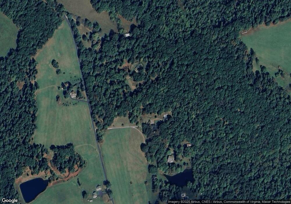
Map
- 197 Burford Farm Rd
- 216 Burford Farm Rd
- 1249 Cedar Gate Rd
- 1285 Cedar Gate Rd
- 893 Cedar Gate Rd
- 0 Cane Raiser Ct
- 125 Cane Raiser Ct
- 59-LOT Foxcroft
- 60 Foxcroft
- 240 Ned Brown Rd
- 2050 High Peak Rd
- 129 Ned Brown Rd
- 378 S Five Forks Rd
- 110 Matohe Rd
- 209 Hunt Club Dr
- 111 Partridge Place
- 477 Briarwood Dr
- 134 Hunt Club Dr
- 122 Brooks St
- 140 Monacan Park Rd
- 172 Shober Ln
- 158 Shober Ln
- 1142 High Peak Rd
- 1037 High Peak Rd
- 1031 High Peak Rd
- 1111 High Peak Rd
- 167 Burford Farm Rd
- 1180 High Peak Rd
- 990 High Peak Rd
- 997 High Peak Rd
- 145 Burford Farm Rd
- 966 High Peak Rd
- 971 High Peak Rd
- 152 Burford Farm Rd
- 225 Burford Farm Rd
- 174 Burford Farm Rd
- Lot B High Peak Rd
- 114 Burford Farm Rd
- 961 High Peak Rd
- 237 Burford Farm Rd
Ask me questions while you tour the home.